63 Donovan Rd Deering, NH 03244
Estimated Value: $551,569 - $716,000
5
Beds
3
Baths
4,456
Sq Ft
$139/Sq Ft
Est. Value
About This Home
This home is located at 63 Donovan Rd, Deering, NH 03244 and is currently estimated at $620,642, approximately $139 per square foot. 63 Donovan Rd is a home located in Hillsborough County with nearby schools including Hillsboro-Deering Elementary School and Hillsboro-Deering High School.
Ownership History
Date
Name
Owned For
Owner Type
Purchase Details
Closed on
Apr 26, 2022
Sold by
Robin Hill Re Hldg Llc
Bought by
Scioto Properties Llc
Current Estimated Value
Purchase Details
Closed on
Feb 16, 2021
Sold by
N A Donovan Ret and Donovan
Bought by
Donovan Mtn Propetles Llc
Create a Home Valuation Report for This Property
The Home Valuation Report is an in-depth analysis detailing your home's value as well as a comparison with similar homes in the area
Home Values in the Area
Average Home Value in this Area
Purchase History
| Date | Buyer | Sale Price | Title Company |
|---|---|---|---|
| Scioto Properties Llc | $3,800,000 | None Available | |
| Donovan Mtn Propetles Llc | -- | None Available | |
| Donovan Mtn Propetles Llc | -- | None Available |
Source: Public Records
Tax History Compared to Growth
Tax History
| Year | Tax Paid | Tax Assessment Tax Assessment Total Assessment is a certain percentage of the fair market value that is determined by local assessors to be the total taxable value of land and additions on the property. | Land | Improvement |
|---|---|---|---|---|
| 2024 | $9,965 | $354,643 | $72,443 | $282,200 |
| 2023 | $9,215 | $354,702 | $72,502 | $282,200 |
| 2022 | $8,105 | $356,278 | $74,078 | $282,200 |
| 2021 | $8,050 | $356,843 | $74,643 | $282,200 |
| 2020 | $8,851 | $356,767 | $74,567 | $282,200 |
| 2019 | $8,254 | $269,577 | $61,577 | $208,000 |
| 2018 | $4,688 | $269,835 | $61,835 | $208,000 |
| 2017 | $8,199 | $273,561 | $61,761 | $211,800 |
| 2016 | $7,819 | $273,864 | $62,064 | $211,800 |
| 2015 | $8,094 | $273,714 | $61,914 | $211,800 |
| 2014 | $11,665 | $472,832 | $115,932 | $356,900 |
| 2013 | $12,023 | $463,328 | $133,500 | $329,828 |
Source: Public Records
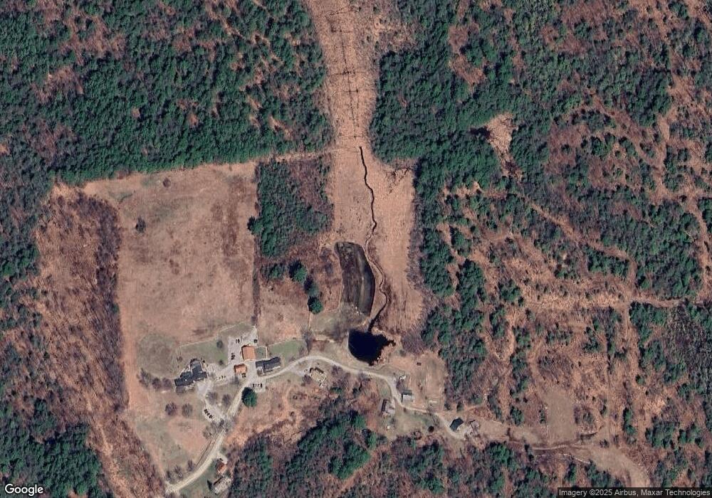
Map
Nearby Homes
- 2426 2nd Nh Turnpike
- 475 Old County Rd
- 0 Concord St Unit 25
- 50 Mulhall Farm Rd
- 126 Fisher Rd
- 00 Rochester Rd Unit 32
- 29 N Main St
- 9 Reservoir Rd
- 0 Bridle Path Rd
- 13 Elm St
- 69 Birch Glen Dr Unit 2
- 39 Birch Glen Dr
- 16 Jameson Ave
- 1 Pierce Lake Rd
- 128 Onset Rd
- 45 Keyes Farm Rd
- 9 Wyman Rd
- 5 Chamberlain Ct Unit 56
- 21 Wyman Rd
- 86 Manselville Rd
- 55 Donovan Rd
- 48 Donovan Rd
- 70 Donovan Rd
- 71 Donovan Rd
- 27 Donovan Rd
- 28 Donovan Rd
- 9 Donovan Rd
- 11 Donovan Rd
- 0 2nd New Hampshire Turnpike N Unit 2706279
- 0 2nd New Hampshire Turnpike N Unit 6
- 97 2nd New Hampshire Turnpike N
- 59 2nd New Hampshire Turnpike N
- 2395 2nd Nh Turnpike
- 2426 2nd New Hampshire Turnpike N
- 2446 2nd Nh Turnpike
- 2446 2nd Nh Turnpike
- 2400 2nd Nh Turnpike
- 2391 2nd Nh Turnpike
- 2394 2nd Nh Turnpike
- 2394 2nd Nh Turnpike