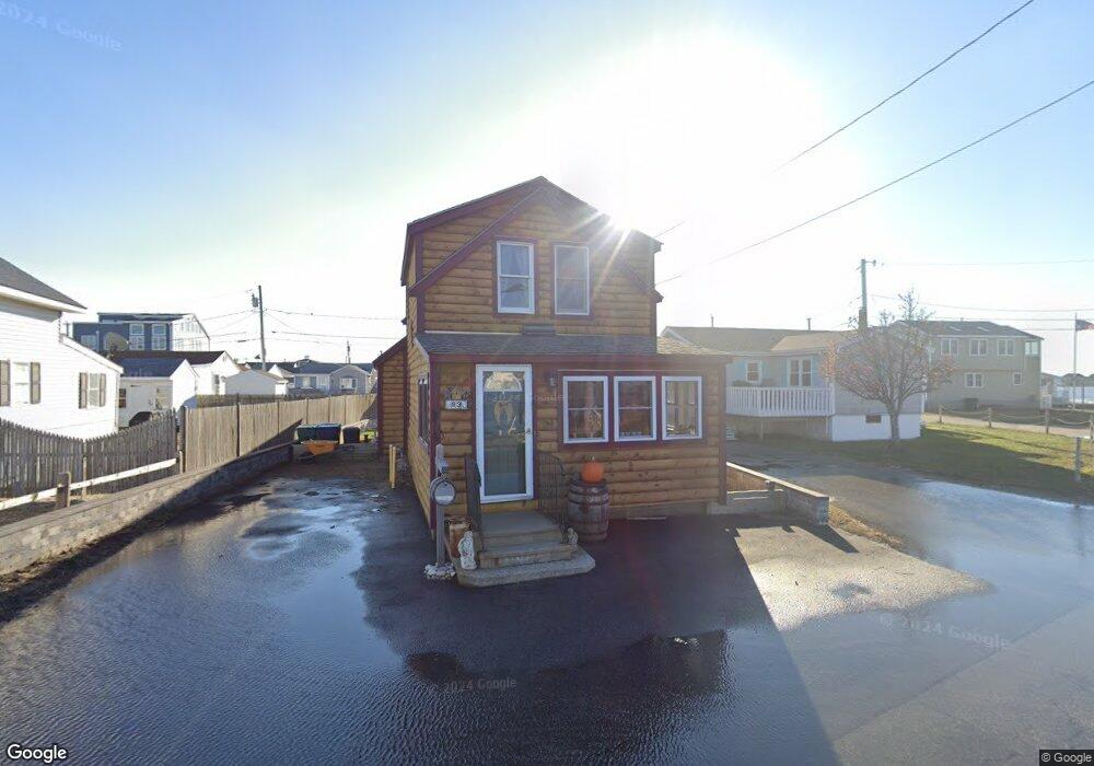
63 Island Path Hampton, NH 03842
Estimated Value: $587,571 - $655,000
4
Beds
1
Bath
1,200
Sq Ft
$521/Sq Ft
Est. Value
About This Home
This home is located at 63 Island Path, Hampton, NH 03842 and is currently estimated at $624,893, approximately $520 per square foot. 63 Island Path is a home located in Rockingham County with nearby schools including Hampton Centre School, Adeline C. Marston Elementary School, and Hampton Academy.
Ownership History
Date
Name
Owned For
Owner Type
Purchase Details
Closed on
May 25, 2000
Sold by
Donahue James W and Donahue Kevin P
Bought by
Bugbee Edward J and Bugbee Nancy J
Current Estimated Value
Home Financials for this Owner
Home Financials are based on the most recent Mortgage that was taken out on this home.
Original Mortgage
$121,250
Outstanding Balance
$39,277
Interest Rate
8.1%
Estimated Equity
$585,616
Create a Home Valuation Report for This Property
The Home Valuation Report is an in-depth analysis detailing your home's value as well as a comparison with similar homes in the area
Home Values in the Area
Average Home Value in this Area
Purchase History
| Date | Buyer | Sale Price | Title Company |
|---|---|---|---|
| Bugbee Edward J | $125,000 | -- |
Source: Public Records
Mortgage History
| Date | Status | Borrower | Loan Amount |
|---|---|---|---|
| Open | Bugbee Edward J | $121,250 |
Source: Public Records
Tax History
| Year | Tax Paid | Tax Assessment Tax Assessment Total Assessment is a certain percentage of the fair market value that is determined by local assessors to be the total taxable value of land and additions on the property. | Land | Improvement |
|---|---|---|---|---|
| 2025 | $7,163 | $581,400 | $370,800 | $210,600 |
| 2024 | $7,163 | $581,400 | $370,800 | $210,600 |
| 2023 | $5,303 | $316,600 | $181,300 | $135,300 |
| 2022 | $5,015 | $316,600 | $181,300 | $135,300 |
| 2021 | $5,015 | $316,600 | $181,300 | $135,300 |
| 2020 | $4,774 | $299,700 | $181,300 | $118,400 |
| 2019 | $4,798 | $299,700 | $181,300 | $118,400 |
| 2018 | $4,726 | $277,700 | $164,800 | $112,900 |
| 2017 | $4,546 | $277,700 | $164,800 | $112,900 |
| 2016 | $4,465 | $277,700 | $164,800 | $112,900 |
Source: Public Records
Map
Nearby Homes
- 27 Kentville Terrace
- 6 Ashworth Ave Unit G1
- 19-21 Kentville Terrace
- 12 Kentville Terrace
- 19 F St
- 190 Island Path
- 377 Ocean Blvd Unit 16
- 128 Ashworth Ave Unit 303
- 3 Perkins Ave Unit 1
- 407 Ocean Blvd Unit B11
- 407 Ocean Blvd Unit A5
- 449 Ocean Blvd Unit 306
- 465 Ocean Blvd Unit 502
- 10 Haverhill Ave Unit 1
- 10 Haverhill Ave Unit 2
- 169 Ashworth Ave
- 3 Harris Ave
- 493 Ocean Blvd Unit 19
- 7 Dover Ave
- 11 Great Boars Head Ave
- 61 Island Path
- 1 Battcock Ave
- 28 Page Ln
- 55 Island Path
- 3 Battcock Ave
- 24 Page Ln
- 5 Battcock Ave
- 51 Island Path Unit 53
- 51 Island Path Unit 51 Island Path Hampt
- 51 Island Path
- 51-53 Island Path
- 20 Page Ln
- 60 Island Path
- 46 Brown Ave
- 27 Page Ln
- 7 Battcock Ave
- 23 Page Ln
- 44 Brown Ave
- 44 Brown Ave Unit 2
- 47 Brown Ave
Your Personal Tour Guide
Ask me questions while you tour the home.