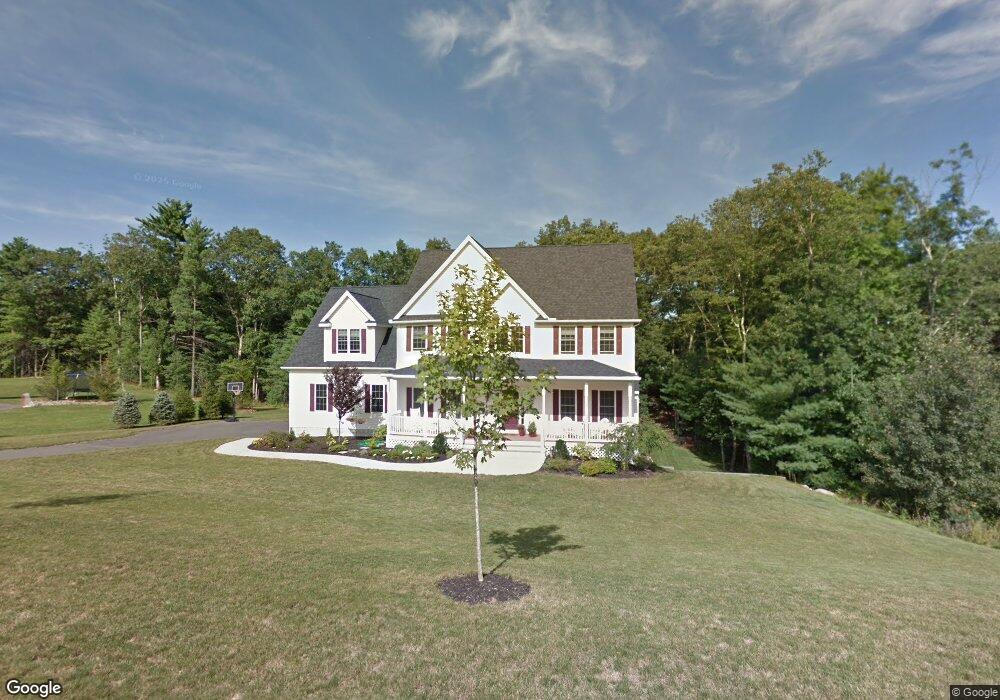
63 Silver Fox Rd Unit 23 Franklin, MA 02038
Estimated Value: $970,260 - $1,178,000
4
Beds
3
Baths
2,800
Sq Ft
$383/Sq Ft
Est. Value
About This Home
This home is located at 63 Silver Fox Rd Unit 23, Franklin, MA 02038 and is currently estimated at $1,072,315, approximately $382 per square foot. 63 Silver Fox Rd Unit 23 is a home located in Norfolk County with nearby schools including Helen Keller Elementary School, Annie Sullivan Middle School, and Franklin High School.
Ownership History
Date
Name
Owned For
Owner Type
Purchase Details
Closed on
Aug 19, 2011
Sold by
Maple Sands Corp
Bought by
Luccini Michael D and Luccini Lisa M
Current Estimated Value
Home Financials for this Owner
Home Financials are based on the most recent Mortgage that was taken out on this home.
Original Mortgage
$416,000
Outstanding Balance
$288,703
Interest Rate
4.62%
Mortgage Type
Purchase Money Mortgage
Estimated Equity
$783,612
Create a Home Valuation Report for This Property
The Home Valuation Report is an in-depth analysis detailing your home's value as well as a comparison with similar homes in the area
Purchase History
| Date | Buyer | Sale Price | Title Company |
|---|---|---|---|
| Luccini Michael D | $520,000 | -- |
Source: Public Records
Mortgage History
| Date | Status | Borrower | Loan Amount |
|---|---|---|---|
| Open | Luccini Michael D | $416,000 |
Source: Public Records
Tax History
| Year | Tax Paid | Tax Assessment Tax Assessment Total Assessment is a certain percentage of the fair market value that is determined by local assessors to be the total taxable value of land and additions on the property. | Land | Improvement |
|---|---|---|---|---|
| 2025 | $10,435 | $898,000 | $382,200 | $515,800 |
| 2024 | $10,750 | $911,800 | $382,200 | $529,600 |
| 2023 | $9,865 | $784,200 | $324,700 | $459,500 |
| 2022 | $10,457 | $744,300 | $338,200 | $406,100 |
| 2021 | $10,302 | $703,200 | $283,700 | $419,500 |
| 2020 | $9,910 | $683,000 | $283,700 | $399,300 |
| 2019 | $9,967 | $679,900 | $280,800 | $399,100 |
| 2018 | $9,454 | $645,300 | $286,600 | $358,700 |
| 2017 | $9,538 | $654,200 | $295,500 | $358,700 |
| 2016 | $8,771 | $604,900 | $271,100 | $333,800 |
| 2015 | $8,236 | $555,000 | $221,200 | $333,800 |
| 2014 | $8,291 | $573,800 | $237,800 | $336,000 |
Source: Public Records
Map
Nearby Homes
- 99 Leland Rd
- 10 Populatic Street Extension
- 72 Skyline Dr
- 40 Lakeshore Dr
- 100 Daniels St
- 12 Ariana Ln
- 83 Oliver Pond Cir Unit 7
- 91 Oliver Pond Cir Unit 3
- 254 Daniels St
- 839 Lincoln St
- 1 Granite Dr
- 29 Elm St
- 14 Sanford St Unit 47
- 10 Barber St
- 20 Broad St Unit 1
- 20 Broad St Unit 6
- 20 Broad St Unit A
- 20 Broad St Unit 4
- 48 Dover Cir
- 27 Dover Cir
- 74 Leland Rd
- 59 Silver Fox Rd Unit 24
- 7 Eagles Nest Way Unit 713
- 7 Eagles Nest Way Unit 723
- 7 Eagles Nest Way Unit 721
- 7 Eagles Nest Way Unit 722
- 7 Eagles Nest Way Unit 714
- 7 Eagles Nest Way Unit 711
- 7 Eagles Nest Way Unit 712
- 67 Silver Fox Rd Unit 22
- 67 Silver Fox Rd
- 9 Eagles Nest Way Unit 912
- 9 Eagles Nest Way Unit 911
- 9 Eagles Nest Way Unit 922
- 9 Eagles Nest Way Unit 921
- 9 Eagles Nest Way Unit 923
- 9 Eagles Nest Way Unit 913
- 9 Eagles Nest Way Unit 914
- 78 Leland Rd
- 89 Leland Rd
Your Personal Tour Guide
Ask me questions while you tour the home.