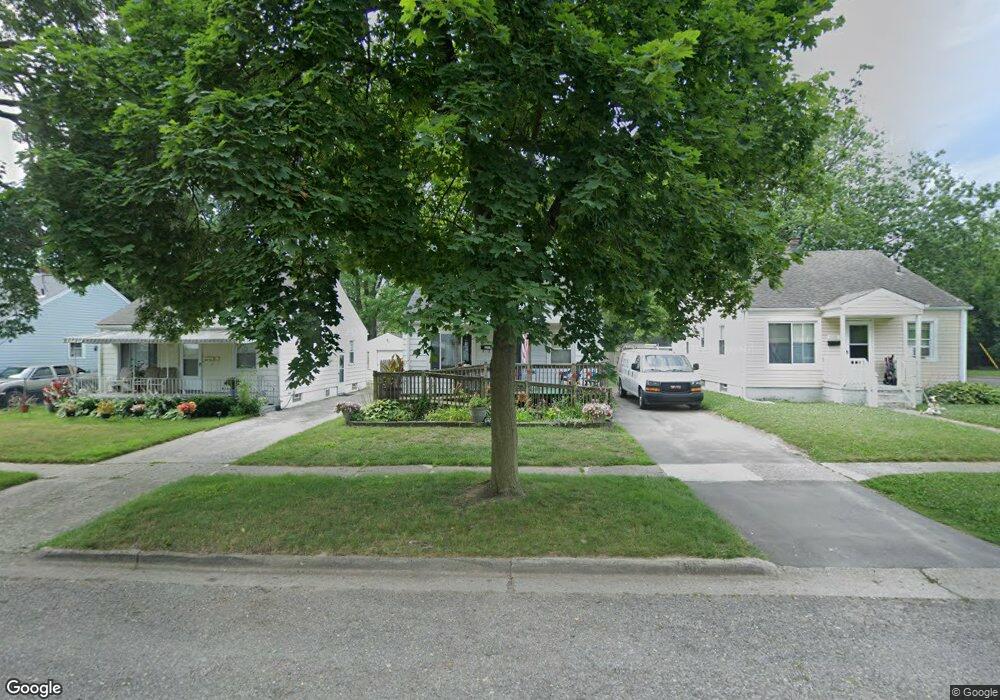
630 E Mansfield Ave Pontiac, MI 48340
Estimated Value: $116,000 - $173,000
3
Beds
1
Bath
758
Sq Ft
$181/Sq Ft
Est. Value
About This Home
This home is located at 630 E Mansfield Ave, Pontiac, MI 48340 and is currently estimated at $137,099, approximately $180 per square foot. 630 E Mansfield Ave is a home located in Oakland County with nearby schools including Owen Elementary School, Pontiac Middle School, and Pontiac High School.
Ownership History
Date
Name
Owned For
Owner Type
Purchase Details
Closed on
Aug 29, 2023
Sold by
Christianson Carrie and Christianson Roger
Bought by
Christianson Carrie M
Current Estimated Value
Purchase Details
Closed on
Apr 1, 2014
Sold by
Williams Hills Jacueline Marie
Bought by
Christianson Rogers and Christianson Carrie
Purchase Details
Closed on
Jan 7, 2014
Sold by
William Jacqueline
Bought by
Wells Fargo Bank Na
Create a Home Valuation Report for This Property
The Home Valuation Report is an in-depth analysis detailing your home's value as well as a comparison with similar homes in the area
Home Values in the Area
Average Home Value in this Area
Purchase History
| Date | Buyer | Sale Price | Title Company |
|---|---|---|---|
| Christianson Carrie M | -- | None Listed On Document | |
| Christianson Rogers | -- | Fidelity Title Co | |
| Wells Fargo Bank Na | $14,250 | None Available |
Source: Public Records
Tax History Compared to Growth
Tax History
| Year | Tax Paid | Tax Assessment Tax Assessment Total Assessment is a certain percentage of the fair market value that is determined by local assessors to be the total taxable value of land and additions on the property. | Land | Improvement |
|---|---|---|---|---|
| 2024 | $778 | $31,970 | $0 | $0 |
| 2023 | $742 | $28,770 | $0 | $0 |
| 2022 | $779 | $25,290 | $0 | $0 |
| 2021 | $756 | $22,020 | $0 | $0 |
| 2020 | $674 | $20,070 | $0 | $0 |
| 2019 | $725 | $17,610 | $0 | $0 |
| 2018 | $692 | $15,290 | $0 | $0 |
| 2017 | $666 | $14,710 | $0 | $0 |
| 2016 | $692 | $13,090 | $0 | $0 |
| 2015 | -- | $11,410 | $0 | $0 |
| 2014 | -- | $10,000 | $0 | $0 |
| 2011 | -- | $15,700 | $0 | $0 |
Source: Public Records
Map
Nearby Homes
- 630 E Madison Ave
- 614 E Tennyson Ave
- 627 Wesbrook St
- 583 Wesbrook St
- 620 Wesbrook St
- 675 E Beverly Ave
- 663 Lenox Ave
- 731 1st Ave
- 667 Raskob St
- 686 4th Ave
- 790 Parkwood Ave
- 720 E Columbia Ave
- 821 Robinwood St
- 778 4th Ave
- 683 Clara Ave
- 686 Peacock Ave
- 794 Clara Ave
- 345 2nd Ave
- 785 Kenilworth Ave
- 644 Brady Ln
- 626 E Mansfield Ave
- 634 E Mansfield Ave
- 638 E Mansfield Ave
- 642 E Mansfield Ave
- 631 E Madison Ave
- 627 E Madison Ave
- 635 E Madison Ave
- 610 E Mansfield Ave
- 639 E Madison Ave
- 615 E Madison Ave
- 631 E Mansfield Ave
- 646 E Mansfield Ave
- 635 E Mansfield Ave
- 627 E Mansfield Ave
- 643 E Madison Ave
- 650 E Mansfield Ave
- 647 E Madison Ave
- 639 E Mansfield Ave
- 615 E Mansfield Ave Unit Bldg-Unit
- 615 E Mansfield Ave