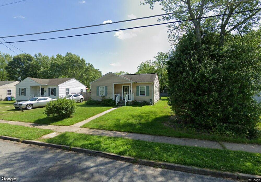
630 Market St Aberdeen, MD 21001
Estimated Value: $212,875 - $246,000
--
Bed
1
Bath
768
Sq Ft
$295/Sq Ft
Est. Value
About This Home
This home is located at 630 Market St, Aberdeen, MD 21001 and is currently estimated at $226,719, approximately $295 per square foot. 630 Market St is a home located in Harford County with nearby schools including Bakerfield Elementary School, Aberdeen Middle School, and Aberdeen High School.
Ownership History
Date
Name
Owned For
Owner Type
Purchase Details
Closed on
Dec 8, 2000
Sold by
Market Street Associates
Bought by
Ware Donette M
Current Estimated Value
Purchase Details
Closed on
Jun 28, 1991
Sold by
Mp Associates
Bought by
Market Street Associates
Create a Home Valuation Report for This Property
The Home Valuation Report is an in-depth analysis detailing your home's value as well as a comparison with similar homes in the area
Home Values in the Area
Average Home Value in this Area
Purchase History
| Date | Buyer | Sale Price | Title Company |
|---|---|---|---|
| Ware Donette M | $76,000 | -- | |
| Market Street Associates | $600,000 | -- |
Source: Public Records
Mortgage History
| Date | Status | Borrower | Loan Amount |
|---|---|---|---|
| Closed | Ware Donette M | -- |
Source: Public Records
Tax History Compared to Growth
Tax History
| Year | Tax Paid | Tax Assessment Tax Assessment Total Assessment is a certain percentage of the fair market value that is determined by local assessors to be the total taxable value of land and additions on the property. | Land | Improvement |
|---|---|---|---|---|
| 2025 | $1,155 | $130,200 | $0 | $0 |
| 2024 | $1,155 | $122,700 | $0 | $0 |
| 2023 | $1,098 | $115,200 | $45,700 | $69,500 |
| 2022 | $1,076 | $112,867 | $0 | $0 |
| 2021 | $1,088 | $110,533 | $0 | $0 |
| 2020 | $1,088 | $108,200 | $45,700 | $62,500 |
| 2019 | $1,088 | $108,200 | $45,700 | $62,500 |
| 2018 | $1,079 | $108,200 | $45,700 | $62,500 |
| 2017 | $1,105 | $110,900 | $0 | $0 |
| 2016 | -- | $110,900 | $0 | $0 |
| 2015 | $1,033 | $110,900 | $0 | $0 |
| 2014 | $1,033 | $121,600 | $0 | $0 |
Source: Public Records
Map
Nearby Homes
- 770 Custis St
- 647 Elm St
- 754 Custis St
- 0 Harford St Unit MDHR2039982
- 21 Gunnison Dr
- 631 W Bel Air Ave
- 406 Ford St
- 722 Bur Oak Ct Unit 77
- 426 Washington St
- 435 Edmund St
- 615 Pinehurst St
- 321 Woodland Green Ct
- 642 Westwood Dr
- 73 Baker St
- 716 Clayton St
- 515 S Law St
- 304 S Parke St
- 414 S Parke St
- 11 Bush Chapel Rd
- 609 S Rogers St