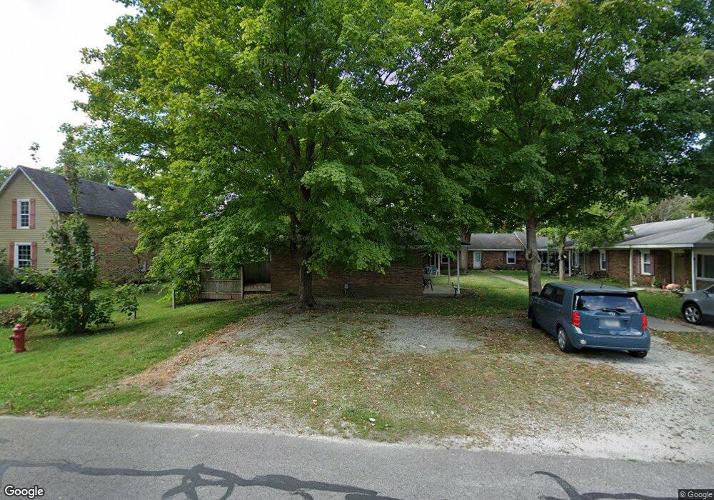
630 S Pearl St Cicero, IN 46034
Estimated Value: $272,000 - $294,000
2
Beds
1
Bath
1,744
Sq Ft
$165/Sq Ft
Est. Value
About This Home
This home is located at 630 S Pearl St, Cicero, IN 46034 and is currently estimated at $287,864, approximately $165 per square foot. 630 S Pearl St is a home with nearby schools including Hamilton Heights Primary School, Hamilton Heights Elementary School, and Hamilton Heights Middle School.
Ownership History
Date
Name
Owned For
Owner Type
Purchase Details
Closed on
Apr 22, 2011
Sold by
Community Bank
Bought by
Blue Water Properties Llc
Current Estimated Value
Purchase Details
Closed on
Feb 9, 2009
Sold by
Wilson Thomas A and Wilson Louise T
Bought by
Davis Perry Joe
Home Financials for this Owner
Home Financials are based on the most recent Mortgage that was taken out on this home.
Original Mortgage
$739,752
Interest Rate
5.22%
Mortgage Type
Future Advance Clause Open End Mortgage
Create a Home Valuation Report for This Property
The Home Valuation Report is an in-depth analysis detailing your home's value as well as a comparison with similar homes in the area
Home Values in the Area
Average Home Value in this Area
Purchase History
| Date | Buyer | Sale Price | Title Company |
|---|---|---|---|
| Blue Water Properties Llc | -- | None Available | |
| Davis Perry Joe | -- | None Available |
Source: Public Records
Mortgage History
| Date | Status | Borrower | Loan Amount |
|---|---|---|---|
| Previous Owner | Davis Perry Joe | $739,752 | |
| Closed | Blue Water Properties Llc | $0 |
Source: Public Records
Tax History Compared to Growth
Tax History
| Year | Tax Paid | Tax Assessment Tax Assessment Total Assessment is a certain percentage of the fair market value that is determined by local assessors to be the total taxable value of land and additions on the property. | Land | Improvement |
|---|---|---|---|---|
| 2024 | $3,621 | $230,100 | $28,600 | $201,500 |
| 2023 | $3,621 | $190,200 | $28,600 | $161,600 |
| 2022 | $3,652 | $188,900 | $27,300 | $161,600 |
| 2021 | $3,410 | $171,000 | $27,300 | $143,700 |
| 2020 | $3,184 | $159,200 | $27,300 | $131,900 |
| 2019 | $3,060 | $153,000 | $15,100 | $137,900 |
| 2018 | $2,124 | $106,200 | $15,100 | $91,100 |
| 2017 | $2,100 | $105,000 | $15,100 | $89,900 |
| 2016 | $2,100 | $105,000 | $15,100 | $89,900 |
| 2014 | $1,894 | $94,700 | $15,100 | $79,600 |
| 2013 | $1,894 | $94,700 | $15,100 | $79,600 |
Source: Public Records
Map
Nearby Homes
- 140 Wiley St
- 70 Armitage St
- 1180 Shoreline Cir
- 100 Confidential Dr
- 149 E Jackson St
- 1055 Spinner Ct
- 18 Point Ln
- 949 Nantucket Dr
- 826 N Lanyard Dr
- 1209 Half Moon Ln
- 31 Bluewater Dr
- 14 Morse Ct
- 15 Morse Ct
- 2029 Seven Peaks Dr
- 22 Point Ln
- 815 Morse Landing Dr
- 130 Overston Ct
- 34 Hovden Dr
- 1940 Stringtown Pike
- 221 Common Loon Blvd