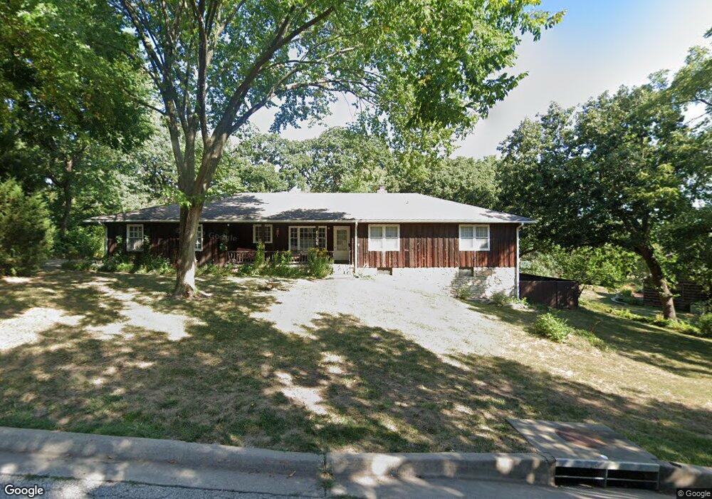
6305 Sherwood Ln Shawnee, KS 66203
Estimated Value: $390,342 - $452,000
4
Beds
4
Baths
1,854
Sq Ft
$222/Sq Ft
Est. Value
About This Home
This home is located at 6305 Sherwood Ln, Shawnee, KS 66203 and is currently estimated at $410,836, approximately $221 per square foot. 6305 Sherwood Ln is a home located in Johnson County with nearby schools including Merriam Park Elementary School, Hocker Grove Middle School, and Shawnee Mission North High School.
Ownership History
Date
Name
Owned For
Owner Type
Purchase Details
Closed on
Mar 5, 2014
Sold by
Adams Elizabeth C
Bought by
Sullivan Pamela K and Sullivan Terrence P
Current Estimated Value
Home Financials for this Owner
Home Financials are based on the most recent Mortgage that was taken out on this home.
Original Mortgage
$171,830
Interest Rate
4.44%
Mortgage Type
FHA
Purchase Details
Closed on
Mar 26, 2007
Sold by
Adams Elizabeth C
Bought by
Adams Elizabeth C and Elizabeth C Adams Trust
Home Financials for this Owner
Home Financials are based on the most recent Mortgage that was taken out on this home.
Original Mortgage
$192,000
Interest Rate
6.24%
Mortgage Type
New Conventional
Create a Home Valuation Report for This Property
The Home Valuation Report is an in-depth analysis detailing your home's value as well as a comparison with similar homes in the area
Home Values in the Area
Average Home Value in this Area
Purchase History
| Date | Buyer | Sale Price | Title Company |
|---|---|---|---|
| Sullivan Pamela K | -- | Continental Title | |
| Adams Elizabeth C | -- | Title Enterprises | |
| Adams Elizabeth C | -- | Title Enterprises |
Source: Public Records
Mortgage History
| Date | Status | Borrower | Loan Amount |
|---|---|---|---|
| Closed | Sullivan Pamela K | $171,830 | |
| Closed | Adams Elizabeth C | $192,000 |
Source: Public Records
Tax History Compared to Growth
Tax History
| Year | Tax Paid | Tax Assessment Tax Assessment Total Assessment is a certain percentage of the fair market value that is determined by local assessors to be the total taxable value of land and additions on the property. | Land | Improvement |
|---|---|---|---|---|
| 2024 | $4,572 | $41,941 | $7,896 | $34,045 |
| 2023 | $4,100 | $38,433 | $7,896 | $30,537 |
| 2022 | $3,966 | $35,800 | $7,183 | $28,617 |
| 2021 | $3,966 | $32,131 | $6,234 | $25,897 |
| 2020 | $3,440 | $29,497 | $6,234 | $23,263 |
| 2019 | $3,247 | $27,853 | $5,423 | $22,430 |
| 2018 | $3,135 | $26,783 | $4,938 | $21,845 |
| 2017 | $2,789 | $23,402 | $4,938 | $18,464 |
| 2016 | $2,664 | $22,206 | $4,938 | $17,268 |
| 2015 | $2,482 | $20,838 | $4,938 | $15,900 |
| 2013 | -- | $19,722 | $4,938 | $14,784 |
Source: Public Records
Map
Nearby Homes
- 10120 W 65th St
- 6420 Ballentine St
- 10924 W 67th St
- 10235 W 70th St
- 10024 W 70th Terrace
- 6901 Grandview St
- 9906 Edelweiss Cir
- 10406 W 71st Place
- 11407 W 68th Terrace
- 6213 Terrydale St
- 11217 W 69th Terrace
- 10914 W 71st St
- 10152 Edelweiss Cir
- 10236 Edelweiss Cir
- 6724 Mackey St
- 8510 W 61st St
- The Fleetwood Plan at Bristol Highlands - The Villas
- The Fleetwood Plan at Bristol Highlands - The Manors
- The Kirkwood Plan at Bristol Highlands - The Villas
- 8013 Payne St
- 6350 Robinhood Ln
- 6310 Robin Hood Dr
- 6310 Robinhood Ln
- 6306 Robinhood Ln
- 6309 Sherwood Ln
- 6302 Robin Hood Dr
- 6302 Robinhood Ln
- 6306 Sherwood Ln
- 6304 Sherwood Ln
- 6302 Sherwood Ln
- 6308 Sherwood Ln
- 6309 Robin Hood Dr
- 6309 Robinhood Dr
- 6310 Sherwood Ln
- 6307 Robin Hood Dr
- 6307 Robinhood Dr
- 6313 Robin Hood Dr
- 6351 Robinhood Ln
- 6313 Robinhood Ln
- 6315 Robin Hood Dr