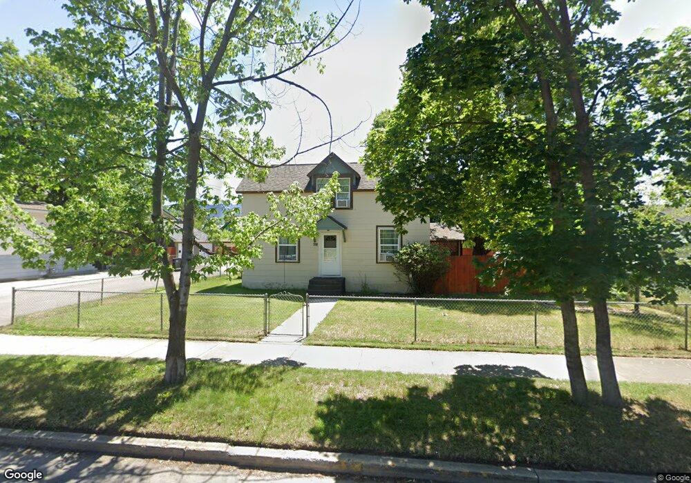
631 S 6th St W Missoula, MT 59801
Rose Park NeighborhoodEstimated Value: $529,727 - $586,000
3
Beds
1
Bath
1,240
Sq Ft
$445/Sq Ft
Est. Value
About This Home
This home is located at 631 S 6th St W, Missoula, MT 59801 and is currently estimated at $552,182, approximately $445 per square foot. 631 S 6th St W is a home located in Missoula County with nearby schools including Paxson School, Washington Middle School, and Hellgate High School.
Ownership History
Date
Name
Owned For
Owner Type
Purchase Details
Closed on
Dec 16, 2024
Sold by
Moran Theresa H
Bought by
Moran Laura E
Current Estimated Value
Purchase Details
Closed on
Sep 25, 2014
Sold by
Holgate Carol Ann
Bought by
Moran Laura E and Moran Theresa H
Purchase Details
Closed on
Aug 24, 2004
Sold by
Holgate Carol Ann and Estate Of Robert A Francis
Bought by
Holgate Carol Ann
Create a Home Valuation Report for This Property
The Home Valuation Report is an in-depth analysis detailing your home's value as well as a comparison with similar homes in the area
Home Values in the Area
Average Home Value in this Area
Purchase History
| Date | Buyer | Sale Price | Title Company |
|---|---|---|---|
| Moran Laura E | -- | None Listed On Document | |
| Moran Laura E | -- | Insured Titles Llc | |
| Holgate Carol Ann | -- | -- |
Source: Public Records
Tax History Compared to Growth
Tax History
| Year | Tax Paid | Tax Assessment Tax Assessment Total Assessment is a certain percentage of the fair market value that is determined by local assessors to be the total taxable value of land and additions on the property. | Land | Improvement |
|---|---|---|---|---|
| 2025 | $5,110 | $548,800 | $319,313 | $229,487 |
| 2024 | $4,905 | $403,100 | $226,103 | $176,997 |
| 2023 | $4,725 | $403,100 | $226,103 | $176,997 |
| 2022 | $4,060 | $300,500 | $0 | $0 |
| 2021 | $3,650 | $300,500 | $0 | $0 |
| 2020 | $3,308 | $252,800 | $0 | $0 |
| 2019 | $3,296 | $252,800 | $0 | $0 |
| 2018 | $3,440 | $256,700 | $0 | $0 |
| 2017 | $3,076 | $256,700 | $0 | $0 |
| 2016 | $2,980 | $236,100 | $0 | $0 |
| 2015 | $2,755 | $236,100 | $0 | $0 |
| 2014 | $2,626 | $126,776 | $0 | $0 |
Source: Public Records
Map
Nearby Homes
- 520 Hickory St
- 808 Ash St
- 722 Oak St
- 512 S 2nd St W
- 125 W Franklin St
- 120 S 4th St W Unit 4 and 6
- 603 Brooks St
- 1216 S 5th St W
- 845 Wyoming St Unit C106
- 835 Wyoming St Unit 104
- 225 Eddy Ave
- 455 Mount Ave
- 300 Connell Ave
- 1419 S 2nd St W Unit A & B
- 320 S 6th St E
- 1325 Gerald Ave
- 210 Old Mill Rd Unit B
- 210 Old Mill Rd Unit A
- TBD Tbd
- 103 S Inez St
- 639 S 6th St W
- 603 S 6th St W
- 811 Cottonwood St
- 401 Rollins St
- 801 Cottonwood St
- 817 Cottonwood St
- 824 Hickory St
- 400 Rollins St
- 634 S 6th St W
- 626 S 6th St W
- 646 S 6th St W
- 620 S 6th St W
- 827 Cottonwood St
- 612 S 6th St W
- 417 Rollins St
- 602 S 6th St W
- 702 S 6th St W
- 701 S 6th St W Unit & 721
- 701 S 6th St W
- 425 Rollins St