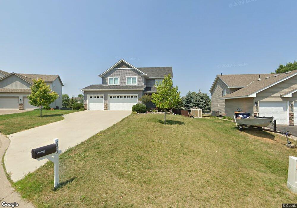
631 Tori Ct Shakopee, MN 55379
Estimated Value: $512,346 - $579,000
4
Beds
3
Baths
2,250
Sq Ft
$243/Sq Ft
Est. Value
About This Home
This home is located at 631 Tori Ct, Shakopee, MN 55379 and is currently estimated at $546,087, approximately $242 per square foot. 631 Tori Ct is a home located in Scott County with nearby schools including Jackson Elementary School, East Middle School, and Shakopee Senior High School.
Ownership History
Date
Name
Owned For
Owner Type
Purchase Details
Closed on
May 18, 2015
Sold by
M H Construction Llc
Bought by
Cary Kenith Y
Current Estimated Value
Home Financials for this Owner
Home Financials are based on the most recent Mortgage that was taken out on this home.
Original Mortgage
$327,635
Outstanding Balance
$253,038
Interest Rate
3.75%
Mortgage Type
FHA
Estimated Equity
$293,049
Purchase Details
Closed on
Sep 2, 2014
Sold by
Henning Michael
Bought by
Mh Custom Construction Llc
Home Financials for this Owner
Home Financials are based on the most recent Mortgage that was taken out on this home.
Original Mortgage
$211,000
Interest Rate
4.15%
Mortgage Type
Commercial
Purchase Details
Closed on
Dec 23, 2011
Sold by
William Huttner Construction Inc
Bought by
Henning Michael
Create a Home Valuation Report for This Property
The Home Valuation Report is an in-depth analysis detailing your home's value as well as a comparison with similar homes in the area
Home Values in the Area
Average Home Value in this Area
Purchase History
| Date | Buyer | Sale Price | Title Company |
|---|---|---|---|
| Cary Kenith Y | $347,778 | Titlesmart Inc | |
| Mh Custom Construction Llc | -- | Fsa Title Services Llc | |
| Henning Michael | $37,500 | -- |
Source: Public Records
Mortgage History
| Date | Status | Borrower | Loan Amount |
|---|---|---|---|
| Open | Cary Kenith Y | $327,635 | |
| Previous Owner | Mh Custom Construction Llc | $211,000 |
Source: Public Records
Tax History Compared to Growth
Tax History
| Year | Tax Paid | Tax Assessment Tax Assessment Total Assessment is a certain percentage of the fair market value that is determined by local assessors to be the total taxable value of land and additions on the property. | Land | Improvement |
|---|---|---|---|---|
| 2025 | $5,142 | $475,700 | $141,400 | $334,300 |
| 2024 | $4,960 | $489,700 | $153,700 | $336,000 |
| 2023 | $5,118 | $463,000 | $144,600 | $318,400 |
| 2022 | $5,092 | $469,200 | $144,600 | $324,600 |
| 2021 | $4,502 | $400,500 | $116,300 | $284,200 |
| 2020 | $4,918 | $387,000 | $105,200 | $281,800 |
| 2019 | $4,876 | $371,800 | $94,900 | $276,900 |
| 2018 | $5,040 | $0 | $0 | $0 |
| 2016 | $2,742 | $0 | $0 | $0 |
| 2014 | -- | $0 | $0 | $0 |
Source: Public Records
Map
Nearby Homes
- 674 Jutland Ave
- 696 Jutland Ave
- 1949 Lusitano St
- 2009 Lusitano St
- 1969 Lusitano St
- 2065 Lusitano St
- 508 Hackney Ave
- 2015 Lusitano St
- 1179 Cubasue Ct
- 1573 Creekside Ln
- 1690 Windigo Ln
- 348 Columbine Ln
- 291 Appleblossom Ln
- 1562 Liberty Cir Unit 2403
- 764 Monnens Ave
- 1730 Athens Terrace
- 668 Cobblestone Way
- 335 Bluestem Ave
- 621 Menke Ave
- The Ferguson Plan at Bluff View - Cottage Series