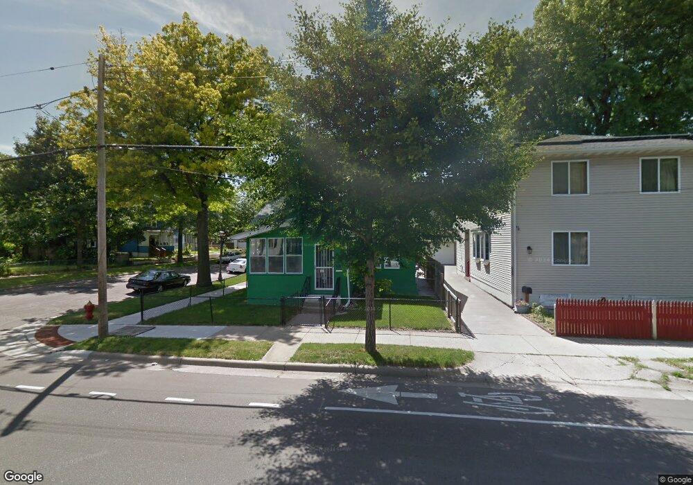
631 Western Ave N Saint Paul, MN 55103
Frogtown NeighborhoodEstimated Value: $285,000 - $357,000
3
Beds
2
Baths
2,227
Sq Ft
$138/Sq Ft
Est. Value
About This Home
This home is located at 631 Western Ave N, Saint Paul, MN 55103 and is currently estimated at $306,410, approximately $137 per square foot. 631 Western Ave N is a home located in Ramsey County with nearby schools including Jackson Elementary, Hidden River Middle School, and Central Senior High School.
Ownership History
Date
Name
Owned For
Owner Type
Purchase Details
Closed on
May 1, 2021
Sold by
Hpa Us1 Llc
Bought by
Hpa Ii Borrower 2021 1 Llc
Current Estimated Value
Purchase Details
Closed on
Feb 18, 2021
Sold by
M And M D Management Llc
Bought by
Hpa Usi Llc
Purchase Details
Closed on
May 22, 2017
Sold by
Krein Christian Thomas
Bought by
Mortgage Electronic Registration System
Create a Home Valuation Report for This Property
The Home Valuation Report is an in-depth analysis detailing your home's value as well as a comparison with similar homes in the area
Home Values in the Area
Average Home Value in this Area
Purchase History
| Date | Buyer | Sale Price | Title Company |
|---|---|---|---|
| Hpa Ii Borrower 2021 1 Llc | -- | Realtech Title Llc | |
| Hpa Usi Llc | $260,000 | Titlesmart Inc | |
| Mortgage Electronic Registration System | -- | None Available |
Source: Public Records
Tax History Compared to Growth
Tax History
| Year | Tax Paid | Tax Assessment Tax Assessment Total Assessment is a certain percentage of the fair market value that is determined by local assessors to be the total taxable value of land and additions on the property. | Land | Improvement |
|---|---|---|---|---|
| 2025 | $4,282 | $324,700 | $25,000 | $299,700 |
| 2023 | $4,282 | $273,300 | $20,000 | $253,300 |
| 2022 | $2,580 | $250,200 | $20,000 | $230,200 |
| 2021 | $4,430 | $150,200 | $20,000 | $130,200 |
| 2020 | $2,682 | $109,500 | $9,900 | $99,600 |
| 2019 | $5,004 | $156,600 | $9,900 | $146,700 |
| 2018 | $1,460 | $125,700 | $9,900 | $115,800 |
| 2017 | $1,100 | $109,500 | $9,900 | $99,600 |
| 2016 | $972 | $0 | $0 | $0 |
| 2015 | $876 | $83,000 | $9,900 | $73,100 |
| 2014 | $844 | $0 | $0 | $0 |
Source: Public Records
Map
Nearby Homes
- 601 Western Ave N
- 395 Thomas Ave
- 597 Virginia St
- 627 Virginia St
- 313 Edmund Ave
- 465 Edmund Ave
- 371 Sherburne Ave
- 481 Edmund Ave
- 429 Sherburne Ave
- 697 Virginia St
- 315 Blair Ave
- 324 Van Buren Ave
- 694 Virginia St
- 482 Edmund Ave
- 727 Virginia St
- 534 Thomas Ave
- 511 Van Buren Ave
- 514 Sherburne Ave
- 538 Charles Ave
- 547 Blair Ave
- 635 Western Ave N
- 641 Western Ave N
- 393 Lafond Ave
- 395 Lafond Ave
- 382 Lafond Ave
- 649 Western Ave N
- 390 Lafond Ave
- 401 Lafond Ave
- 394 Lafond Ave
- 653 Western Ave N
- 396 Lafond Ave
- 619 Western Ave N
- 398 Blair Ave
- 372 Lafond Ave
- 407 Lafond Ave
- 396 Blair Ave
- 400 Blair Ave
- 628 Western Ave N
- 402 Lafond Ave
- 659 Western Ave N