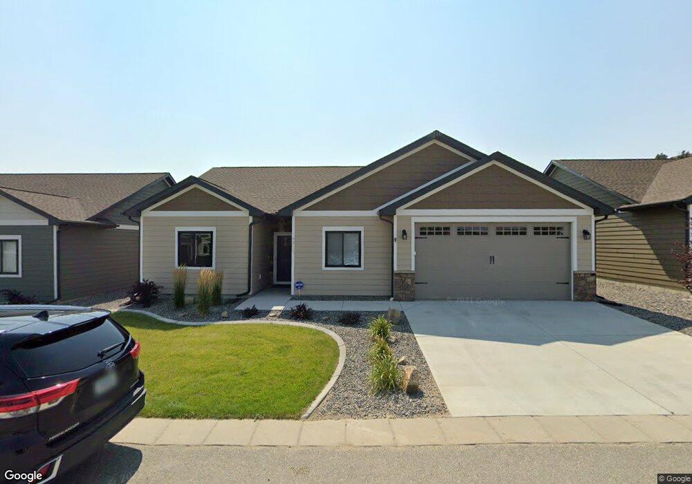
6310 Ridge Stone Dr S Billings, MT 59106
West Shiloh NeighborhoodEstimated Value: $378,000 - $485,000
3
Beds
2
Baths
1,515
Sq Ft
$272/Sq Ft
Est. Value
About This Home
This home is located at 6310 Ridge Stone Dr S, Billings, MT 59106 and is currently estimated at $411,492, approximately $271 per square foot. 6310 Ridge Stone Dr S is a home located in Yellowstone County with nearby schools including Boulder School, Ben Steele Middle School, and Billings West High School.
Ownership History
Date
Name
Owned For
Owner Type
Purchase Details
Closed on
Sep 12, 2019
Sold by
Mtp 2 Llc
Bought by
Duane A & J A Tuhy Ret
Current Estimated Value
Home Financials for this Owner
Home Financials are based on the most recent Mortgage that was taken out on this home.
Original Mortgage
$200,000
Outstanding Balance
$175,184
Interest Rate
3.6%
Mortgage Type
New Conventional
Estimated Equity
$236,308
Create a Home Valuation Report for This Property
The Home Valuation Report is an in-depth analysis detailing your home's value as well as a comparison with similar homes in the area
Home Values in the Area
Average Home Value in this Area
Purchase History
| Date | Buyer | Sale Price | Title Company |
|---|---|---|---|
| Duane A & J A Tuhy Ret | -- | First Montana Title Co |
Source: Public Records
Mortgage History
| Date | Status | Borrower | Loan Amount |
|---|---|---|---|
| Open | Duane A & J A Tuhy Ret | $200,000 |
Source: Public Records
Tax History Compared to Growth
Tax History
| Year | Tax Paid | Tax Assessment Tax Assessment Total Assessment is a certain percentage of the fair market value that is determined by local assessors to be the total taxable value of land and additions on the property. | Land | Improvement |
|---|---|---|---|---|
| 2025 | $3,490 | $374,300 | $59,208 | $315,092 |
| 2024 | $3,490 | $345,600 | $54,294 | $291,306 |
| 2023 | $3,477 | $345,600 | $54,294 | $291,306 |
| 2022 | $2,972 | $256,400 | $43,690 | $212,710 |
| 2021 | $2,827 | $256,400 | $0 | $0 |
| 2020 | $2,941 | $249,500 | $0 | $0 |
| 2019 | $653 | $38,326 | $0 | $0 |
| 2018 | $587 | $31,273 | $0 | $0 |
| 2017 | $289 | $31,273 | $0 | $0 |
| 2016 | $642 | $43,302 | $0 | $0 |
| 2015 | $655 | $42,463 | $0 | $0 |
| 2014 | $496 | $13,633 | $0 | $0 |
Source: Public Records
Map
Nearby Homes
- 3976 Woodcreek Dr
- 3965 Woodcreek Dr
- 3980 Trailwood Dr
- 6253 Ironwood Dr
- 6116 Sam Snead Trail
- 6020 Hazelwood Dr
- 3671 Spalding Ave
- 6061 Canyonwoods Dr
- 4225 Snowywoods Dr
- 4224 Arrowwood Dr
- 4216 Arrowwood Dr
- 4703 Laila
- Lot 34 Aspenridge Dr
- Lot 8 Graphite Dr
- 1226 Buffalo Crossing Dr
- 4232 Rosewood Dr
- 3210 Golden Acres Dr
- 3136 Amelia Cir
- 3127 Falcon Cir
- 3111 Amelia Cir
- 6314 Ridge Stone Dr S
- 6302 Ridge Stone Dr S
- 6316 Ridge Stone Dr S
- 6305 Ridge Stone Dr N
- 6305 Ridge Stone Dr N Unit 42
- 6309 Ridge Stone Dr N
- 6345 Molt Rd
- 6315 Ridge Stone Dr S
- 6315 Ridge Stone Dr N
- 6320 Ridge Stone Dr S
- 6327 Ridge Stone Dr N
- 6302 Ridge Stone Dr N
- 6304 Ridge Stone Dr N
- 6304 Ridge Stone Dr N Unit 40
- 6321 Ridge Stone Dr S
- 6308 Ridge Stone Dr N
- 6322 Ridge Stone Dr S
- 6240 Ridge Stone Dr N
- 6312 Ridge Stone Dr N
- 6318 Ridge Stone Dr N