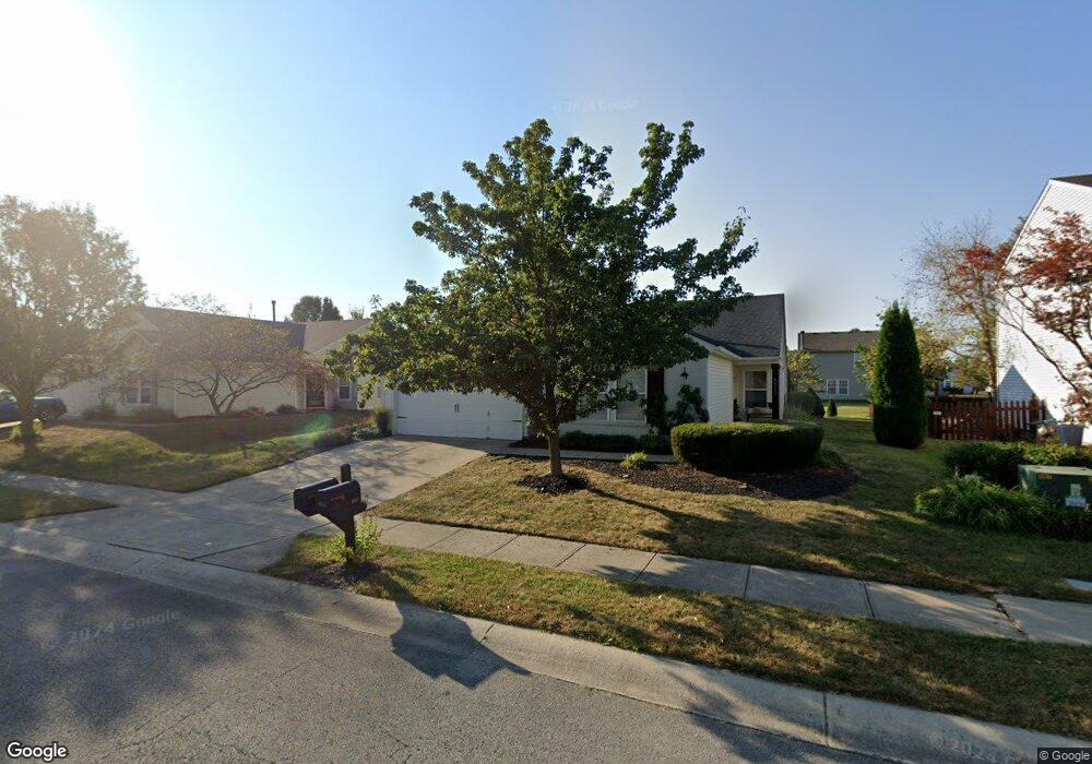
6317 Eastern Range Rd Indianapolis, IN 46234
Estimated Value: $280,000 - $300,000
3
Beds
2
Baths
1,770
Sq Ft
$164/Sq Ft
Est. Value
About This Home
This home is located at 6317 Eastern Range Rd, Indianapolis, IN 46234 and is currently estimated at $289,805, approximately $163 per square foot. 6317 Eastern Range Rd is a home located in Hendricks County with nearby schools including White Lick Elementary School, Brownsburg West Middle School, and Brownsburg High School.
Ownership History
Date
Name
Owned For
Owner Type
Purchase Details
Closed on
Feb 10, 2023
Sold by
Fernandez Sylvia I
Bought by
Lynch Nancy S
Current Estimated Value
Purchase Details
Closed on
May 7, 2008
Sold by
Wang Shyyan
Bought by
Fernandez Sylvia I
Home Financials for this Owner
Home Financials are based on the most recent Mortgage that was taken out on this home.
Original Mortgage
$110,700
Interest Rate
5.87%
Mortgage Type
New Conventional
Create a Home Valuation Report for This Property
The Home Valuation Report is an in-depth analysis detailing your home's value as well as a comparison with similar homes in the area
Home Values in the Area
Average Home Value in this Area
Purchase History
| Date | Buyer | Sale Price | Title Company |
|---|---|---|---|
| Lynch Nancy S | -- | None Listed On Document | |
| Fernandez Sylvia I | -- | None Available |
Source: Public Records
Mortgage History
| Date | Status | Borrower | Loan Amount |
|---|---|---|---|
| Previous Owner | Fernandez Sylvia I | $110,700 |
Source: Public Records
Tax History Compared to Growth
Tax History
| Year | Tax Paid | Tax Assessment Tax Assessment Total Assessment is a certain percentage of the fair market value that is determined by local assessors to be the total taxable value of land and additions on the property. | Land | Improvement |
|---|---|---|---|---|
| 2024 | $2,574 | $257,400 | $42,900 | $214,500 |
| 2023 | $2,389 | $241,600 | $38,600 | $203,000 |
| 2022 | $2,247 | $228,200 | $35,800 | $192,400 |
| 2021 | $1,731 | $184,300 | $33,700 | $150,600 |
| 2020 | $1,516 | $166,400 | $33,700 | $132,700 |
| 2019 | $1,433 | $160,800 | $32,100 | $128,700 |
| 2018 | $1,339 | $152,200 | $32,100 | $120,100 |
| 2017 | $1,246 | $143,600 | $30,300 | $113,300 |
| 2016 | $1,193 | $139,900 | $30,300 | $109,600 |
| 2014 | $1,001 | $122,800 | $28,900 | $93,900 |
Source: Public Records
Map
Nearby Homes
- 10112 Split Rock Way
- 10105 Yosemite Ln
- 10155 Clear Creek Cir
- 9873 Blue Ridge Way
- 10303 Memorial Knoll Dr
- 10298 Yosemite Ln
- Wembley Plan at Eagle Lakes - Paired Patio Homes Collection
- 10327 Gateway Dr
- 10358 River Park Way
- 6035 Bluecrest Dr
- 5834 Skyward Ln
- 10535 Pine Valley Path
- 10706 Broadlands Dr
- 10398 Splendor Way
- 5813 Grandvista Dr
- 10469 Ballard Dr
- 10765 Broadlands Dr
- 10577 E County Road 600 N
- 5886 Brookstone Dr
- 10145 Eagle Eye Way
- 6307 Eastern Range Rd
- 6325 Eastern Range Rd
- 6301 Eastern Range Rd
- 10076 Split Rock Way
- 10064 Split Rock Way
- 6331 Eastern Range Rd
- 10088 Split Rock Way
- 10052 Split Rock Way
- 6320 Eastern Range Rd
- 6291 Eastern Range Rd
- 6310 Eastern Range Rd
- 6339 Eastern Range Rd
- 10100 Split Rock Way
- 6330 Eastern Range Rd
- 6300 Eastern Range Rd
- 6340 Eastern Range Rd
- 6347 Eastern Range Rd
- 6290 Eastern Range Rd
- 10067 Split Rock Way
- 10079 Split Rock Way