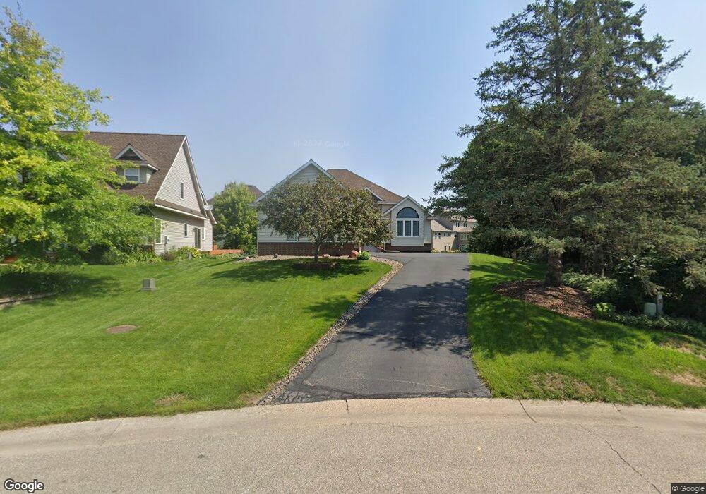
632 Welland Ct Saint Paul, MN 55123
Estimated Value: $568,000 - $594,000
4
Beds
4
Baths
1,507
Sq Ft
$385/Sq Ft
Est. Value
About This Home
This home is located at 632 Welland Ct, Saint Paul, MN 55123 and is currently estimated at $580,318, approximately $385 per square foot. 632 Welland Ct is a home located in Dakota County with nearby schools including Pinewood Elementary School, Dakota Hills Middle School, and Eagan Senior High School.
Ownership History
Date
Name
Owned For
Owner Type
Purchase Details
Closed on
Sep 30, 2019
Sold by
Smirnov Yuri and Smirnov Nadine
Bought by
Fenton Robert T and Fenton Laurie J
Current Estimated Value
Home Financials for this Owner
Home Financials are based on the most recent Mortgage that was taken out on this home.
Original Mortgage
$195,000
Outstanding Balance
$170,830
Interest Rate
3.5%
Mortgage Type
New Conventional
Estimated Equity
$409,488
Purchase Details
Closed on
Sep 6, 2002
Sold by
Manley Land Development Inc
Bought by
Smirnov Yuri and Smirnov Nadine
Create a Home Valuation Report for This Property
The Home Valuation Report is an in-depth analysis detailing your home's value as well as a comparison with similar homes in the area
Home Values in the Area
Average Home Value in this Area
Purchase History
| Date | Buyer | Sale Price | Title Company |
|---|---|---|---|
| Fenton Robert T | $445,000 | Land Title Inc | |
| Smirnov Yuri | $348,335 | -- |
Source: Public Records
Mortgage History
| Date | Status | Borrower | Loan Amount |
|---|---|---|---|
| Open | Fenton Robert T | $195,000 |
Source: Public Records
Tax History Compared to Growth
Tax History
| Year | Tax Paid | Tax Assessment Tax Assessment Total Assessment is a certain percentage of the fair market value that is determined by local assessors to be the total taxable value of land and additions on the property. | Land | Improvement |
|---|---|---|---|---|
| 2024 | $5,764 | $537,500 | $119,200 | $418,300 |
| 2023 | $5,764 | $526,000 | $119,600 | $406,400 |
| 2022 | $5,028 | $518,700 | $119,300 | $399,400 |
| 2021 | $4,932 | $447,100 | $103,700 | $343,400 |
| 2020 | $4,902 | $427,900 | $98,800 | $329,100 |
| 2019 | $4,448 | $414,000 | $94,300 | $319,700 |
| 2018 | $4,440 | $396,700 | $89,800 | $306,900 |
| 2017 | $4,574 | $383,900 | $85,500 | $298,400 |
| 2016 | $4,579 | $377,400 | $81,400 | $296,000 |
| 2015 | $4,443 | $371,183 | $80,636 | $290,547 |
| 2014 | -- | $366,169 | $78,359 | $287,810 |
| 2013 | -- | $322,242 | $70,252 | $251,990 |
Source: Public Records
Map
Nearby Homes
- 4072 Prairie Ridge Rd
- 4001 Haven Woods Ct
- 3998 Haven Woods Ct
- 711 Stonebridge Cir
- 591 Autumn Oaks Ct
- 680 Brockton Curve
- 4080 Camberwell Dr N
- 593 Coventry Pkwy
- 4027 Camberwell Dr N
- 785 Canter Glen Cir
- 4358 Yorktown Dr
- 782 Summerbrooke Ct
- 9451 Esk Ln
- 790 Summerbrooke Ct
- 4231 Yorktown Dr
- 699 Calvin Ct
- 4125 Pennsylvania Ave
- 9151 Tyne Ln
- 4124 New York Ave
- 9258 Tyne Ln
- 636 Welland Ct
- 628 Welland Ct
- 680 Leonard Ln
- 684 Leonard Ln
- 676 Leonard Ln
- 640 Welland Ct
- 672 Leonard Ln
- 644 Welland Ct
- 648 Welland Ct
- 4080 Prairie Ridge Rd
- 4076 Prairie Ridge Rd
- 681 Leonard Ln
- 4084 Prairie Ridge Rd
- 3967 Arlene Ct
- 668 Leonard Ln
- 4068 Prairie Ridge Rd
- 4015 Dodd Rd
- 641 Witham Ln
- 645 Witham Ln
- 4088 Prairie Ridge Rd