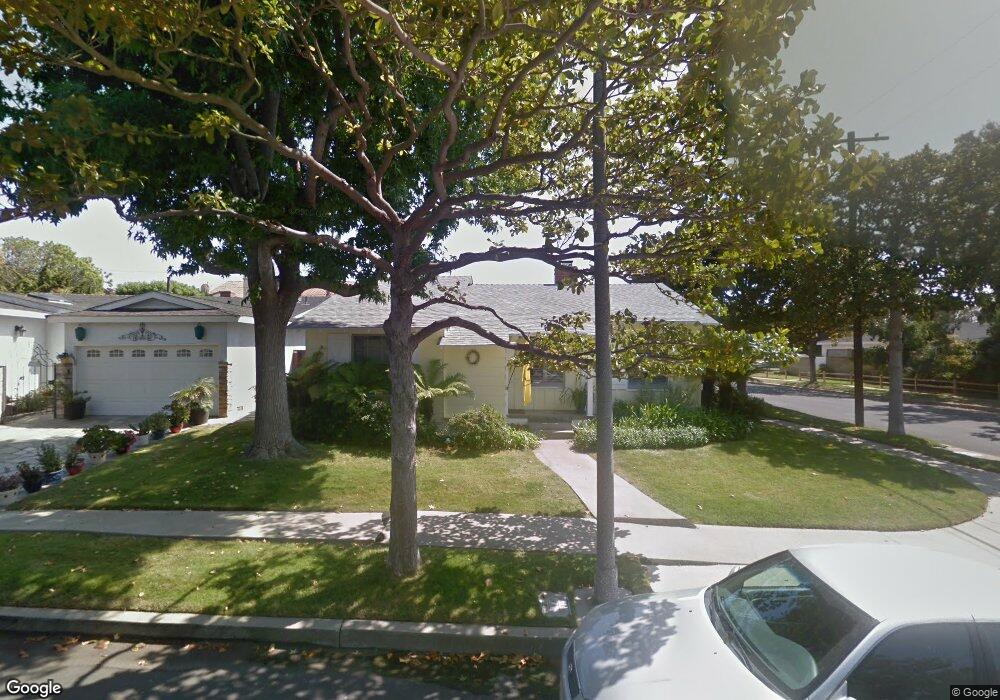
6320 W 77th Place Los Angeles, CA 90045
Westchester NeighborhoodEstimated Value: $1,403,966 - $1,784,000
3
Beds
2
Baths
1,334
Sq Ft
$1,164/Sq Ft
Est. Value
About This Home
This home is located at 6320 W 77th Place, Los Angeles, CA 90045 and is currently estimated at $1,553,242, approximately $1,164 per square foot. 6320 W 77th Place is a home located in Los Angeles County with nearby schools including Cowan Avenue Elementary School, Wright Middle School STEAM Magnet, and Westchester Enriched Sciences Magnets.
Ownership History
Date
Name
Owned For
Owner Type
Purchase Details
Closed on
Jul 16, 2021
Sold by
Heiser Richard S and Heiser Loretta I
Bought by
Heiser Family Trust and Heiser
Current Estimated Value
Purchase Details
Closed on
Jun 15, 1993
Sold by
Schnitzer Mark S and Schnitzer Wendy L
Bought by
Heiser Richard S and Heiser Loretta I
Purchase Details
Closed on
Jun 1, 1992
Sold by
Siegal Mark I
Bought by
Siegal Wendy L
Create a Home Valuation Report for This Property
The Home Valuation Report is an in-depth analysis detailing your home's value as well as a comparison with similar homes in the area
Home Values in the Area
Average Home Value in this Area
Purchase History
| Date | Buyer | Sale Price | Title Company |
|---|---|---|---|
| Heiser Family Trust | -- | Rheingold Bennett | |
| Heiser Richard S | $285,000 | Southland Title | |
| Siegal Wendy L | -- | Southland Title |
Source: Public Records
Tax History Compared to Growth
Tax History
| Year | Tax Paid | Tax Assessment Tax Assessment Total Assessment is a certain percentage of the fair market value that is determined by local assessors to be the total taxable value of land and additions on the property. | Land | Improvement |
|---|---|---|---|---|
| 2025 | $5,881 | $484,376 | $358,279 | $126,097 |
| 2024 | $5,881 | $474,879 | $351,254 | $123,625 |
| 2023 | $5,772 | $465,568 | $344,367 | $121,201 |
| 2022 | $5,509 | $456,440 | $337,615 | $118,825 |
| 2021 | $5,435 | $447,492 | $330,996 | $116,496 |
| 2019 | $5,273 | $434,222 | $321,180 | $113,042 |
| 2018 | $5,219 | $425,709 | $314,883 | $110,826 |
| 2016 | $4,985 | $409,179 | $302,656 | $106,523 |
| 2015 | $4,912 | $403,033 | $298,110 | $104,923 |
| 2014 | $4,935 | $395,139 | $292,271 | $102,868 |
Source: Public Records
Map
Nearby Homes
- 6322 W 78th Place
- 6154 W 75th Place
- 7221 Arizona Ave
- 8004 El Manor Ave
- 7403 S Sepulveda Blvd Unit 108
- 8008 El Manor Ave
- 8001 Alverstone Ave
- 7817 Truxton Ave
- 7449 Kentwood Ave
- 7733 Henefer Ave
- 8056 Kentwood Ave
- 8044 Cowan Ave
- 7842 Croydon Ave
- 6040 W 76th St
- 7404 Kentwood Ave
- 6027 W 76th St
- 7831 Beland Ave
- 6427 Hedding St
- 7920 Anise Ave Unit 1
- 6017 W 75th St
- 6316 W 77th Place
- 6321 W 78th St
- 6310 W 77th Place
- 6315 W 78th St
- 6331 W 78th St
- 6317 W 77th Place
- 6309 W 78th St
- 6309 W 77th Place
- 7725 Alverstone Ave
- 6337 W 78th St
- 6306 W 77th Place
- 7719 Alverstone Ave
- 6305 W 78th St
- 7711 Alverstone Ave
- 6330 W 78th St
- 6305 W 77th Place
- 6341 W 78th St
- 6318 W 77th St
- 6300 W 77th Place
- 6318 W 78th St