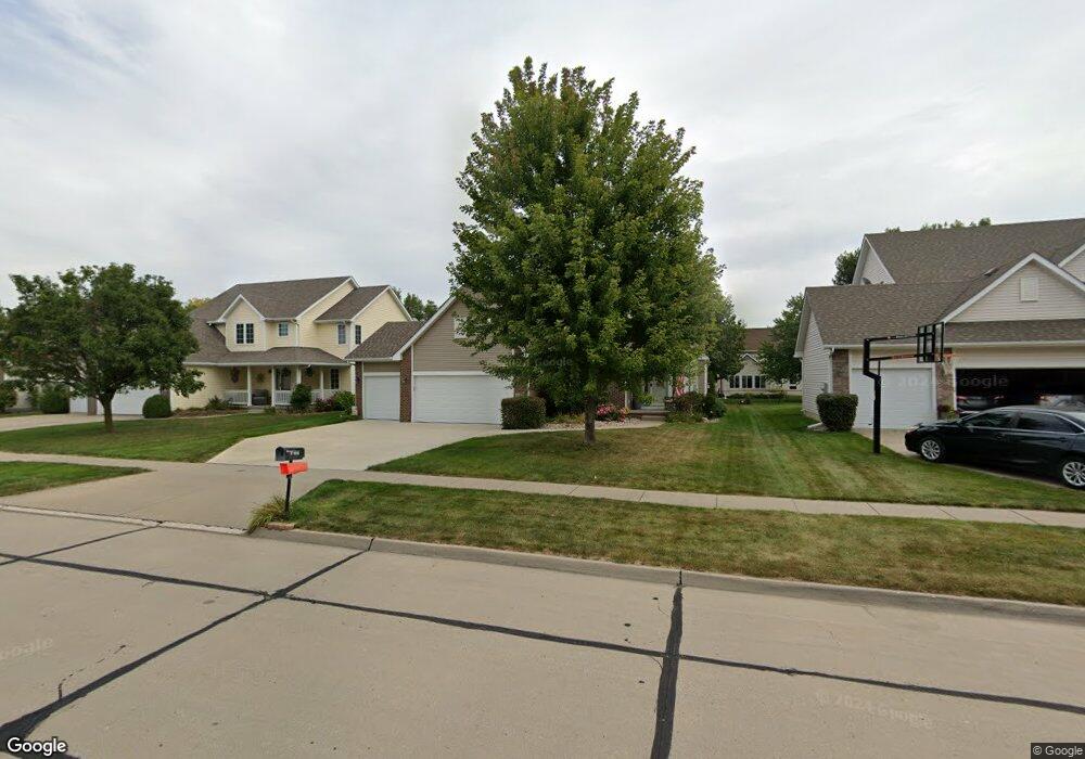
6321 NW 97th St Johnston, IA 50131
Northwest Johnston NeighborhoodEstimated Value: $401,606 - $456,000
4
Beds
3
Baths
1,941
Sq Ft
$216/Sq Ft
Est. Value
About This Home
This home is located at 6321 NW 97th St, Johnston, IA 50131 and is currently estimated at $419,902, approximately $216 per square foot. 6321 NW 97th St is a home located in Polk County with nearby schools including Beaver Creek Elementary School, Garrard Middle School, and Summit Middle School.
Ownership History
Date
Name
Owned For
Owner Type
Purchase Details
Closed on
Dec 23, 2000
Sold by
Home Builders Group Lc
Bought by
Premier Builders Inc
Current Estimated Value
Purchase Details
Closed on
Nov 5, 1999
Sold by
Premier Builders Inc
Bought by
Home Builders Group Lc
Purchase Details
Closed on
Nov 3, 1999
Sold by
Johnston Land Co Lc
Bought by
Premier Builders Inc
Create a Home Valuation Report for This Property
The Home Valuation Report is an in-depth analysis detailing your home's value as well as a comparison with similar homes in the area
Home Values in the Area
Average Home Value in this Area
Purchase History
| Date | Buyer | Sale Price | Title Company |
|---|---|---|---|
| Premier Builders Inc | -- | -- | |
| Home Builders Group Lc | -- | -- | |
| Premier Builders Inc | $36,000 | -- |
Source: Public Records
Tax History Compared to Growth
Tax History
| Year | Tax Paid | Tax Assessment Tax Assessment Total Assessment is a certain percentage of the fair market value that is determined by local assessors to be the total taxable value of land and additions on the property. | Land | Improvement |
|---|---|---|---|---|
| 2025 | $5,970 | $422,500 | $92,600 | $329,900 |
| 2024 | $5,970 | $375,100 | $80,400 | $294,700 |
| 2023 | $5,452 | $375,100 | $80,400 | $294,700 |
| 2022 | $6,090 | $294,800 | $65,300 | $229,500 |
| 2021 | $6,028 | $294,800 | $65,300 | $229,500 |
| 2020 | $5,924 | $278,100 | $61,800 | $216,300 |
| 2019 | $6,162 | $278,100 | $61,800 | $216,300 |
| 2018 | $6,000 | $268,200 | $57,500 | $210,700 |
| 2017 | $5,342 | $268,200 | $57,500 | $210,700 |
| 2016 | $5,226 | $235,100 | $49,900 | $185,200 |
| 2015 | $5,226 | $235,100 | $49,900 | $185,200 |
| 2014 | $5,070 | $225,400 | $47,200 | $178,200 |
Source: Public Records
Map
Nearby Homes
- 6419 NW 97th St
- 6511 NW 93rd St
- 9115 Cowden Dr
- 9425 Woodland Dr
- 6151 Bristol Ln
- 10037 Bayern Ln
- 9524 Wickham Dr
- 5920 NW 97th St
- 6034 Sheffield Cir
- 10325 Providence Dr Unit 104
- 10325 Providence Dr Unit 102
- 5917 NW 90th St
- 9001 Windsor Pkwy Unit 317
- 9001 Windsor Pkwy Unit 302
- 5867 Marble Cir
- 6724 Bright St
- 6720 Bright St
- 5895 Marble Cir
- 5814 NW 90th St
- 5839 NW 90th St
- 6317 NW 97th St
- 6325 NW 97th St
- 6313 NW 97th St
- 6312 NW 96th St
- 6329 NW 97th St
- 6316 NW 96th St
- 6308 NW 96th St
- 6320 NW 96th St
- 6309 NW 97th St
- 6320 NW 97th St
- 6316 NW 97th St
- 6405 NW 97th St
- 6324 NW 97th St
- 6324 NW 96th St
- 6304 NW 96th St
- 6305 NW 97th St
- 6409 NW 97th St
- 6308 NW 97th St
- 9818 NW 96 St
- 9705 Mcwilliams Dr