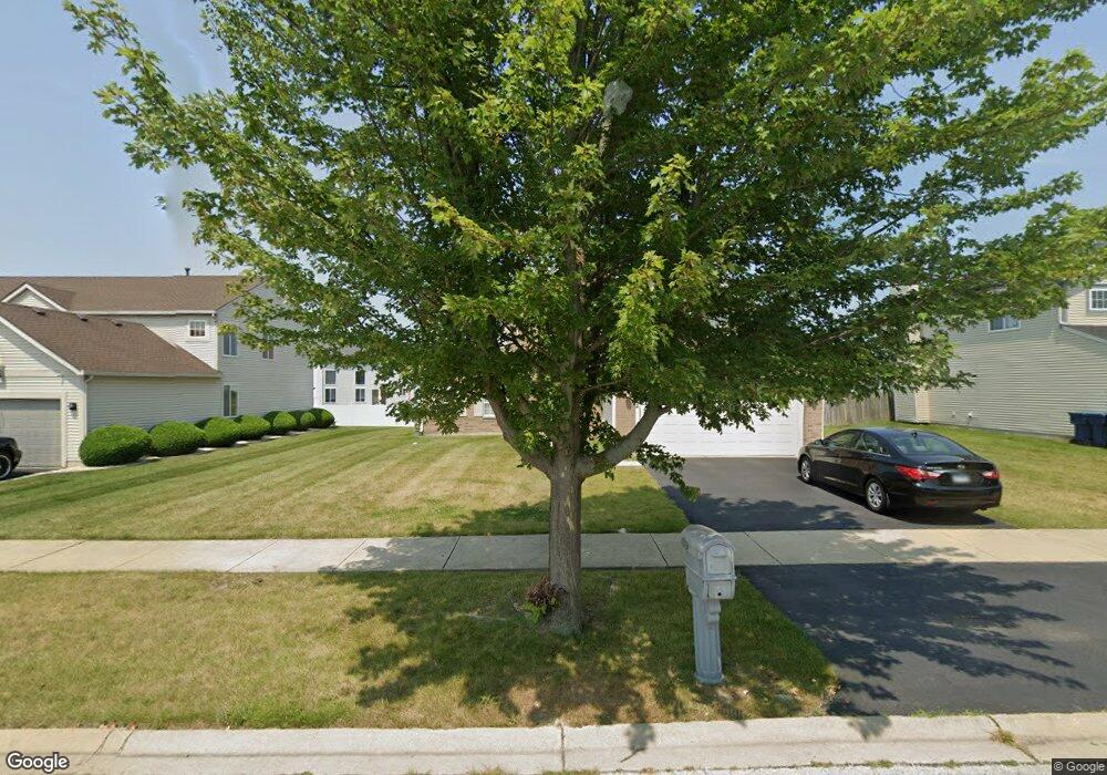
6322 Cornfield Rd Matteson, IL 60443
West Matteson NeighborhoodEstimated Value: $386,000 - $461,000
5
Beds
3
Baths
3,140
Sq Ft
$136/Sq Ft
Est. Value
About This Home
This home is located at 6322 Cornfield Rd, Matteson, IL 60443 and is currently estimated at $427,880, approximately $136 per square foot. 6322 Cornfield Rd is a home located in Cook County with nearby schools including Colin Powell Middle School.
Ownership History
Date
Name
Owned For
Owner Type
Purchase Details
Closed on
Feb 22, 2005
Sold by
Montalbano Builders Inc
Bought by
Walters Lavettta C
Current Estimated Value
Home Financials for this Owner
Home Financials are based on the most recent Mortgage that was taken out on this home.
Original Mortgage
$222,425
Outstanding Balance
$115,648
Interest Rate
6.1%
Mortgage Type
Unknown
Estimated Equity
$312,232
Create a Home Valuation Report for This Property
The Home Valuation Report is an in-depth analysis detailing your home's value as well as a comparison with similar homes in the area
Home Values in the Area
Average Home Value in this Area
Purchase History
| Date | Buyer | Sale Price | Title Company |
|---|---|---|---|
| Walters Lavettta C | $278,500 | Ctic |
Source: Public Records
Mortgage History
| Date | Status | Borrower | Loan Amount |
|---|---|---|---|
| Open | Walters Lavettta C | $222,425 | |
| Closed | Walters Lavettta C | $55,606 |
Source: Public Records
Tax History Compared to Growth
Tax History
| Year | Tax Paid | Tax Assessment Tax Assessment Total Assessment is a certain percentage of the fair market value that is determined by local assessors to be the total taxable value of land and additions on the property. | Land | Improvement |
|---|---|---|---|---|
| 2024 | $13,963 | $37,000 | $7,044 | $29,956 |
| 2023 | $9,231 | $37,000 | $7,044 | $29,956 |
| 2022 | $9,231 | $20,662 | $6,083 | $14,579 |
| 2021 | $9,366 | $20,661 | $6,083 | $14,578 |
| 2020 | $9,170 | $20,661 | $6,083 | $14,578 |
| 2019 | $11,026 | $23,609 | $5,442 | $18,167 |
| 2018 | $10,862 | $23,609 | $5,442 | $18,167 |
| 2017 | $10,593 | $23,609 | $5,442 | $18,167 |
| 2016 | $10,757 | $23,283 | $4,802 | $18,481 |
| 2015 | $10,498 | $23,283 | $4,802 | $18,481 |
| 2014 | $10,240 | $23,283 | $4,802 | $18,481 |
| 2013 | $10,983 | $26,504 | $4,802 | $21,702 |
Source: Public Records
Map
Nearby Homes
- 6216 Pond View Dr
- 6200 Marsh Ln
- 6260 Sunflower Dr
- 6125 Sunflower Dr
- 6103 Sunflower Dr
- 749 Old Farm Rd
- 1008 Willow Rd
- 6306 Beaver Dam Rd
- 1000 Warwick Dr
- 6230 Streamwood Ln
- 6037 Spring Ln
- 6021 Spring Ln
- 931 Destiny Dr
- 6226 Beechwood Rd
- 433 Wheatfield Rd
- 21143 Gray Hawk Dr Unit 2554
- 6423 Gray Hawk Dr Unit 2716
- 6529 Blue Sky Ln
- 21218 Shannon Ave
- 6520 Bridle Path Dr
- 6318 Cornfield Rd
- 6326 Cornfield Rd Unit 11
- 819 Tall Grass Trail
- 815 Tall Grass Trail
- 6314 Cornfield Rd
- 6332 Cornfield Rd
- 811 Tall Grass Trail
- 6321 Cornfield Rd
- 6325 Cornfield Rd
- 6306 Cornfield Rd
- 6317 Cornfield Rd
- 6329 Cornfield Rd
- 6309 Garden View Ln
- 6313 Garden View Ln
- 6313 Cornfield Rd
- 6305 Garden View Ln
- 6317 Garden View Ln
- 6333 Cornfield Rd
- 822 Tall Grass Trail
- 6337 Cornfield Rd