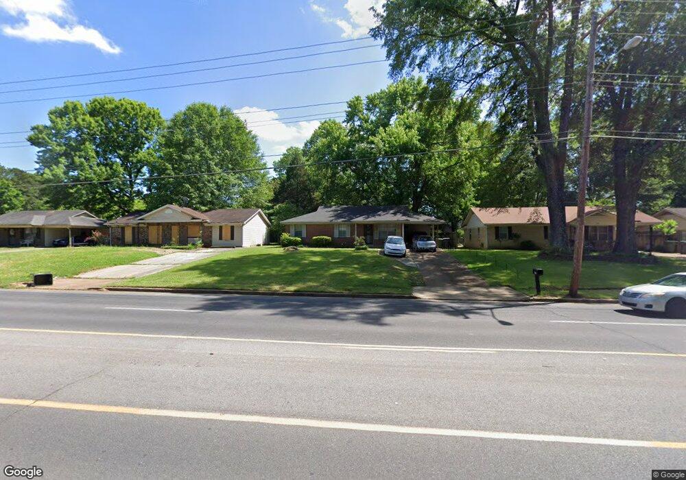
6323 Macon Rd Memphis, TN 38134
Cordova NeighborhoodEstimated Value: $157,893 - $190,000
3
Beds
2
Baths
1,310
Sq Ft
$135/Sq Ft
Est. Value
About This Home
This home is located at 6323 Macon Rd, Memphis, TN 38134 and is currently estimated at $176,973, approximately $135 per square foot. 6323 Macon Rd is a home located in Shelby County with nearby schools including White Station Elementary School, White Station Middle, and White Station High.
Ownership History
Date
Name
Owned For
Owner Type
Purchase Details
Closed on
Jun 28, 2011
Sold by
Fannie Mae
Bought by
Le John
Current Estimated Value
Purchase Details
Closed on
May 6, 2011
Sold by
Cunningham Ashlee L
Bought by
Federal National Mortgage Association
Purchase Details
Closed on
Oct 14, 2004
Sold by
Webb Rebecca L and Hughes Rebecca L
Bought by
Hughes William G and Hughes Rebecca L
Home Financials for this Owner
Home Financials are based on the most recent Mortgage that was taken out on this home.
Original Mortgage
$10,500
Interest Rate
5.73%
Mortgage Type
New Conventional
Purchase Details
Closed on
Nov 27, 2001
Sold by
Webb Mark R
Bought by
Webb Rebecca
Create a Home Valuation Report for This Property
The Home Valuation Report is an in-depth analysis detailing your home's value as well as a comparison with similar homes in the area
Home Values in the Area
Average Home Value in this Area
Purchase History
| Date | Buyer | Sale Price | Title Company |
|---|---|---|---|
| Le John | $46,000 | None Available | |
| Federal National Mortgage Association | $67,598 | None Available | |
| Hughes William G | -- | -- | |
| Webb Rebecca | -- | Memphis Title |
Source: Public Records
Mortgage History
| Date | Status | Borrower | Loan Amount |
|---|---|---|---|
| Previous Owner | Hughes William G | $10,500 |
Source: Public Records
Tax History
| Year | Tax Paid | Tax Assessment Tax Assessment Total Assessment is a certain percentage of the fair market value that is determined by local assessors to be the total taxable value of land and additions on the property. | Land | Improvement |
|---|---|---|---|---|
| 2025 | $890 | $35,150 | $5,750 | $29,400 |
| 2024 | $890 | $26,250 | $4,250 | $22,000 |
| 2023 | $1,599 | $26,250 | $4,250 | $22,000 |
| 2022 | $1,599 | $26,250 | $4,250 | $22,000 |
| 2021 | $1,618 | $26,250 | $4,250 | $22,000 |
| 2020 | $1,264 | $17,450 | $4,250 | $13,200 |
| 2019 | $1,264 | $17,450 | $4,250 | $13,200 |
| 2018 | $1,264 | $17,450 | $4,250 | $13,200 |
| 2017 | $717 | $17,450 | $4,250 | $13,200 |
| 2016 | $727 | $16,625 | $0 | $0 |
| 2014 | $727 | $16,625 | $0 | $0 |
Source: Public Records
Map
Nearby Homes
- 6307 Cheekwood Ave
- 6290 Macon Rd
- 1456 Kinilwood St
- 6342 Thornfield Dr
- 1281 Heathcliff Dr
- 6452 Macon Rd
- 1257 Heathcliff Dr
- 6254 Brightwood Dr
- 1188 Garden Rd
- 0 Mullins Station Rd
- 0 Harpeth Dr
- 1239 Whitten Rd
- 1772 6th Crompton Square Unit B
- 1770 6th Crompton Square Unit 29
- 6864 Lagrange Hill Rd
- 1066 Whitten Rd
- 6900 Lagrange Hill Rd
- 6916 Lagrange Pines Rd
- 6880 Wrigley Dr
- 6884 Wrigley Dr
Your Personal Tour Guide
Ask me questions while you tour the home.