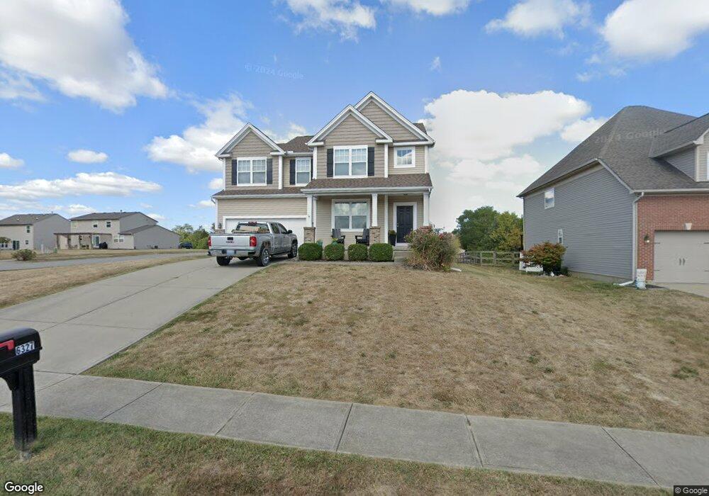
6327 Fieldsteade Dr Unit 87 Independence, KY 41051
Estimated Value: $350,513 - $367,000
4
Beds
3
Baths
2,286
Sq Ft
$157/Sq Ft
Est. Value
About This Home
This home is located at 6327 Fieldsteade Dr Unit 87, Independence, KY 41051 and is currently estimated at $359,128, approximately $157 per square foot. 6327 Fieldsteade Dr Unit 87 is a home located in Kenton County with nearby schools including Ryland Heights Elementary School, Woodland Middle School, and Scott High School.
Ownership History
Date
Name
Owned For
Owner Type
Purchase Details
Closed on
Oct 30, 2020
Sold by
Evans Rebecca M and Evans Stephen S
Bought by
Ashworth Kyle S
Current Estimated Value
Home Financials for this Owner
Home Financials are based on the most recent Mortgage that was taken out on this home.
Original Mortgage
$239,580
Outstanding Balance
$213,575
Interest Rate
2.9%
Mortgage Type
FHA
Estimated Equity
$145,553
Purchase Details
Closed on
Dec 17, 2009
Sold by
M/I Homes Of Cincinnati Llc
Bought by
Imhoff Rebecca M and Evans Stephen S
Home Financials for this Owner
Home Financials are based on the most recent Mortgage that was taken out on this home.
Original Mortgage
$166,920
Interest Rate
4.82%
Mortgage Type
FHA
Purchase Details
Closed on
Jul 23, 2009
Sold by
Wwb Development Group Llc
Bought by
M/I Homes Of Cincinnati Llc
Create a Home Valuation Report for This Property
The Home Valuation Report is an in-depth analysis detailing your home's value as well as a comparison with similar homes in the area
Home Values in the Area
Average Home Value in this Area
Purchase History
| Date | Buyer | Sale Price | Title Company |
|---|---|---|---|
| Ashworth Kyle S | $244,000 | 360 American Title Svcs Llc | |
| Imhoff Rebecca M | $170,000 | Lawyers Title Cincinnati Inc | |
| M/I Homes Of Cincinnati Llc | $30,500 | Lawyers Title Cincinnati Inc |
Source: Public Records
Mortgage History
| Date | Status | Borrower | Loan Amount |
|---|---|---|---|
| Open | Ashworth Kyle S | $239,580 | |
| Previous Owner | Imhoff Rebecca M | $166,920 |
Source: Public Records
Tax History Compared to Growth
Tax History
| Year | Tax Paid | Tax Assessment Tax Assessment Total Assessment is a certain percentage of the fair market value that is determined by local assessors to be the total taxable value of land and additions on the property. | Land | Improvement |
|---|---|---|---|---|
| 2024 | $2,989 | $244,000 | $40,000 | $204,000 |
| 2023 | $3,079 | $244,000 | $40,000 | $204,000 |
| 2022 | $3,136 | $244,000 | $40,000 | $204,000 |
| 2021 | $3,182 | $244,000 | $40,000 | $204,000 |
| 2020 | $2,287 | $170,000 | $40,000 | $130,000 |
| 2019 | $2,293 | $170,000 | $40,000 | $130,000 |
| 2018 | $2,305 | $170,000 | $40,000 | $130,000 |
| 2017 | $2,242 | $170,000 | $40,000 | $130,000 |
| 2015 | $2,177 | $170,000 | $30,500 | $139,500 |
| 2014 | $2,146 | $170,000 | $30,500 | $139,500 |
Source: Public Records
Map
Nearby Homes
- 6314 Filly Ct
- 964 Stablewatch Dr
- 748 Stablewatch Dr
- 6339 Arabian Dr
- 6256 Woodsgrove Ct
- BRADSHAW Plan at Woods at Lakefield
- TRENT Plan at Woods at Lakefield
- CLARKSON Plan at Woods at Lakefield
- GARRETT Plan at Woods at Lakefield
- EATON Plan at Woods at Lakefield
- THORPE Plan at Woods at Lakefield
- FINNEGAN Plan at Woods at Lakefield
- 18 Greenmere Cir
- 907 Stablewatch Dr
- 6388 Alexandra Ct
- Greenbriar Plan at Willow Green - Maple Street Collection
- Jensen Plan at Willow Green - Maple Street Collection
- Yosemite Plan at Willow Green - Maple Street Collection
- Beacon Plan at Willow Green - Maple Street Collection
- Wesley Plan at Willow Green - Maple Street Collection
- 6327 Fieldsteade Dr
- 6323 Fieldsteade Dr
- 790 Stablewatch Dr
- 6319 Fieldsteade Dr
- 787 Stablewatch Dr
- 787 Stablewatch Dr Unit 63
- 6334 Markham Ct
- 6326 Fieldsteade Dr
- 794 Stablewatch Dr
- 6322 Fieldsteade Dr
- 6315 Fieldsteade Dr
- 781 Stablewatch Dr
- 6338 Markham Ct
- 6318 Fieldsteade Dr
- 6339 Fieldsteade Dr
- 798 Stablewatch Dr
- 0 Markham Ct
- 777 Stablewatch Dr
- 797 Stablewatch Dr
- 797 Stablewatch Dr Unit 107