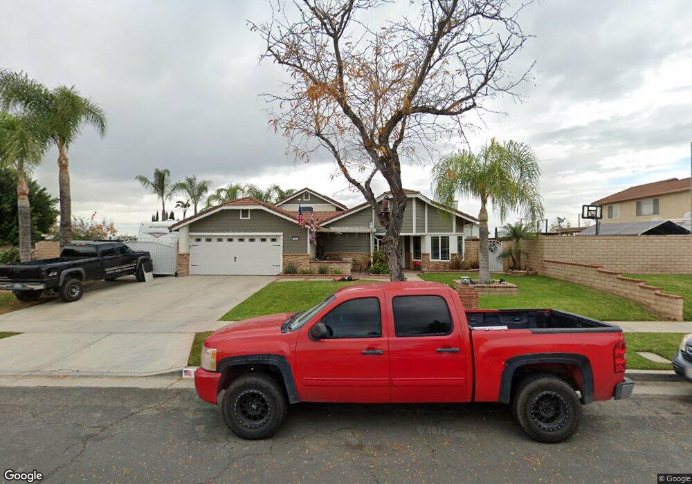
633 Santa Paula St Corona, CA 92882
Central Corona NeighborhoodEstimated Value: $755,000 - $827,000
3
Beds
2
Baths
2,156
Sq Ft
$365/Sq Ft
Est. Value
About This Home
This home is located at 633 Santa Paula St, Corona, CA 92882 and is currently estimated at $787,050, approximately $365 per square foot. 633 Santa Paula St is a home located in Riverside County with nearby schools including Vicentia Elementary School, Letha Raney Intermediate School, and Corona High School.
Ownership History
Date
Name
Owned For
Owner Type
Purchase Details
Closed on
Apr 17, 1998
Sold by
Frizzeli William and Frizzeli Tamara
Bought by
Havens Art and Havens Michele
Current Estimated Value
Home Financials for this Owner
Home Financials are based on the most recent Mortgage that was taken out on this home.
Original Mortgage
$153,103
Interest Rate
7.1%
Mortgage Type
FHA
Create a Home Valuation Report for This Property
The Home Valuation Report is an in-depth analysis detailing your home's value as well as a comparison with similar homes in the area
Home Values in the Area
Average Home Value in this Area
Purchase History
| Date | Buyer | Sale Price | Title Company |
|---|---|---|---|
| Havens Art | $156,000 | Northern Counties Title |
Source: Public Records
Mortgage History
| Date | Status | Borrower | Loan Amount |
|---|---|---|---|
| Previous Owner | Havens Art | $153,103 |
Source: Public Records
Tax History Compared to Growth
Tax History
| Year | Tax Paid | Tax Assessment Tax Assessment Total Assessment is a certain percentage of the fair market value that is determined by local assessors to be the total taxable value of land and additions on the property. | Land | Improvement |
|---|---|---|---|---|
| 2025 | $2,724 | $249,055 | $71,829 | $177,226 |
| 2023 | $2,724 | $239,386 | $69,041 | $170,345 |
| 2022 | $2,636 | $234,693 | $67,688 | $167,005 |
| 2021 | $2,583 | $230,092 | $66,361 | $163,731 |
| 2020 | $2,555 | $227,734 | $65,681 | $162,053 |
| 2019 | $2,496 | $223,270 | $64,394 | $158,876 |
| 2018 | $2,439 | $218,893 | $63,133 | $155,760 |
| 2017 | $2,380 | $214,602 | $61,896 | $152,706 |
| 2016 | $2,356 | $210,395 | $60,683 | $149,712 |
| 2015 | $2,304 | $207,236 | $59,772 | $147,464 |
| 2014 | $2,222 | $203,178 | $58,602 | $144,576 |
Source: Public Records
Map
Nearby Homes
- 510 W Hacienda Dr
- 2476 Grove Ave
- 2495 Hannum Cir
- 975 Horatio Ave
- 1650 S Belle Ave
- 256 E Mission Rd
- 2519 Sena St
- 431 Redwing Dr
- 2621 Grove Ave
- 853 W Crestview St
- 920 Burr St
- 825 Derby St
- 397 Raymor Ave
- 1508 S Main St
- 395 E Monterey Rd
- 224 W Kendall St
- 2350 Claudia St
- 2775 Canyon View Cir
- 1140 Tabitha Way
- 675 Avenida Terrazo
- 613 Santa Paula St
- 653 Santa Paula St
- 673 Santa Paula St
- 638 Santa Paula St
- 658 Santa Paula St
- 618 Santa Paula St
- 2119 Taylor Ave
- 2133 Taylor Ave
- 678 Santa Paula St
- 707 Santa Paula St
- 2105 Taylor Ave
- 2155 Taylor Ave
- 706 Santa Paula St
- 635 W Ontario Ave
- 2171 Taylor Ave
- 615 W Ontario Ave
- 655 W Ontario Ave Unit 101
- 655 W Ontario Ave
- 727 Santa Paula St
- 2112 Skylark Cir