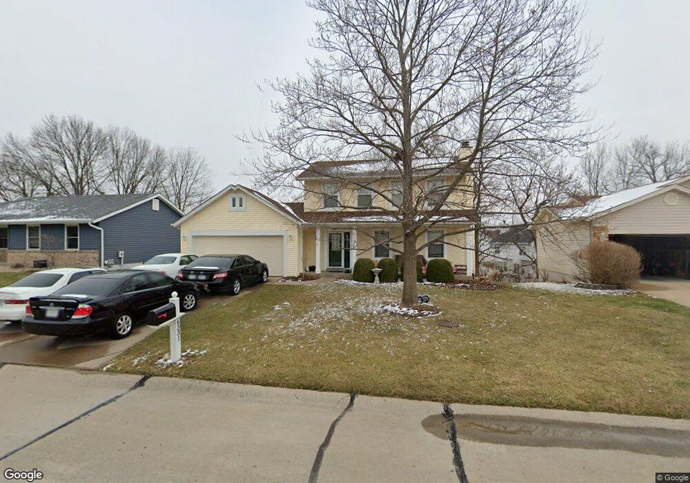
6331 Sprucefield Dr O Fallon, MO 63368
Estimated Value: $289,000 - $337,000
3
Beds
3
Baths
1,470
Sq Ft
$211/Sq Ft
Est. Value
About This Home
This home is located at 6331 Sprucefield Dr, O Fallon, MO 63368 and is currently estimated at $309,623, approximately $210 per square foot. 6331 Sprucefield Dr is a home located in St. Charles County with nearby schools including Pheasant Point Elementary School, Fort Zumwalt South Middle School, and Fort Zumwalt South High School.
Ownership History
Date
Name
Owned For
Owner Type
Purchase Details
Closed on
Mar 28, 2005
Sold by
Drew Curt D and Drew Lori J
Bought by
Khuhro Rafiq A and Khuhro Amy D
Current Estimated Value
Home Financials for this Owner
Home Financials are based on the most recent Mortgage that was taken out on this home.
Original Mortgage
$127,900
Outstanding Balance
$70,606
Interest Rate
6.87%
Mortgage Type
Fannie Mae Freddie Mac
Estimated Equity
$239,017
Create a Home Valuation Report for This Property
The Home Valuation Report is an in-depth analysis detailing your home's value as well as a comparison with similar homes in the area
Home Values in the Area
Average Home Value in this Area
Purchase History
| Date | Buyer | Sale Price | Title Company |
|---|---|---|---|
| Khuhro Rafiq A | $159,900 | Ust |
Source: Public Records
Mortgage History
| Date | Status | Borrower | Loan Amount |
|---|---|---|---|
| Open | Khuhro Rafiq A | $127,900 |
Source: Public Records
Tax History
| Year | Tax Paid | Tax Assessment Tax Assessment Total Assessment is a certain percentage of the fair market value that is determined by local assessors to be the total taxable value of land and additions on the property. | Land | Improvement |
|---|---|---|---|---|
| 2025 | $3,246 | $47,132 | -- | -- |
| 2023 | $3,248 | $49,188 | -- | -- |
| 2022 | $2,770 | $39,045 | $0 | $0 |
| 2021 | $2,777 | $39,045 | $0 | $0 |
| 2020 | $2,271 | $30,675 | $0 | $0 |
| 2019 | $2,276 | $30,675 | $0 | $0 |
| 2018 | $2,719 | $35,140 | $0 | $0 |
| 2017 | $2,674 | $35,140 | $0 | $0 |
| 2016 | $2,499 | $31,532 | $0 | $0 |
| 2015 | $2,329 | $31,532 | $0 | $0 |
| 2014 | $2,249 | $30,031 | $0 | $0 |
Source: Public Records
Map
Nearby Homes
- 26 Dalton Valley Dr
- 249 Dardenne Farms Dr
- 178 Christina Marie Dr
- 661 Clifton Hill Dr
- 1319 Commons Cir
- 1313 Commons Cir
- 10 Muir Trail Ct
- 6025 Mo-N Unit # 1
- 9007 Camino Trail
- 6024 Mo-N Unit #2
- 67 Simeon Ct
- 8019 Cotswald Trail
- 8032 Cotswald Trail
- 1003 Santiago Trail
- 611 Bennington Dr
- 1004 Santiago Trail
- 1000 Santiago Trail
- 2017 Butte Trail Ct
- 2009 Butte Trail Ct
- 2018 Butte Trail Ct
- 6327 Sprucefield Dr
- 6335 Sprucefield Dr
- 318 Meadowlake Dr
- 6323 Sprucefield Dr
- 6339 Sprucefield Dr
- 6337 Star Buck Dr
- 6332 Star Buck Dr
- 6319 Sprucefield Dr
- 6343 Sprucefield Dr
- 6344 Sprucefield Dr
- 322 Meadowlake Dr
- 6345 Star Buck Dr
- 6316 Sprucefield Dr
- 6336 Star Buck Dr
- 6350 Sprucefield Dr
- 6315 Sprucefield Dr
- 6340 Star Buck Dr
- 6347 Sprucefield Dr
- 6349 Star Buck Dr
- 321 Meadowlake Dr
Your Personal Tour Guide
Ask me questions while you tour the home.