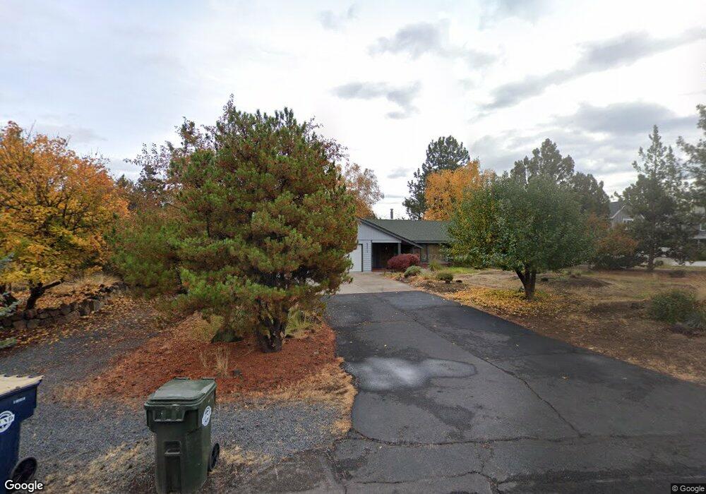
63312 Eastview Dr Bend, OR 97701
Boyd Acres NeighborhoodEstimated Value: $638,000 - $695,000
3
Beds
3
Baths
1,872
Sq Ft
$357/Sq Ft
Est. Value
About This Home
This home is located at 63312 Eastview Dr, Bend, OR 97701 and is currently estimated at $667,783, approximately $356 per square foot. 63312 Eastview Dr is a home located in Deschutes County with nearby schools including Lava Ridge Elementary School, Sky View Middle School, and Mountain View Senior High School.
Ownership History
Date
Name
Owned For
Owner Type
Purchase Details
Closed on
Apr 6, 2011
Sold by
Szabo John P and Szabo Sue E
Bought by
Szabo John P and Szabo Sue E
Current Estimated Value
Purchase Details
Closed on
Sep 15, 2008
Sold by
Lascurain Arthur
Bought by
Szabo John P and Szabo Sue E
Home Financials for this Owner
Home Financials are based on the most recent Mortgage that was taken out on this home.
Original Mortgage
$231,920
Outstanding Balance
$153,554
Interest Rate
6.51%
Mortgage Type
Purchase Money Mortgage
Estimated Equity
$514,229
Create a Home Valuation Report for This Property
The Home Valuation Report is an in-depth analysis detailing your home's value as well as a comparison with similar homes in the area
Home Values in the Area
Average Home Value in this Area
Purchase History
| Date | Buyer | Sale Price | Title Company |
|---|---|---|---|
| Szabo John P | -- | Deschutes County Title Co | |
| Szabo John P | $289,900 | Deschutes County Title Co |
Source: Public Records
Mortgage History
| Date | Status | Borrower | Loan Amount |
|---|---|---|---|
| Open | Szabo John P | $231,920 |
Source: Public Records
Tax History Compared to Growth
Tax History
| Year | Tax Paid | Tax Assessment Tax Assessment Total Assessment is a certain percentage of the fair market value that is determined by local assessors to be the total taxable value of land and additions on the property. | Land | Improvement |
|---|---|---|---|---|
| 2025 | $4,573 | $270,670 | -- | -- |
| 2024 | $4,400 | $262,790 | -- | -- |
| 2023 | $4,079 | $255,140 | $0 | $0 |
| 2022 | $3,805 | $240,500 | $0 | $0 |
| 2021 | $3,811 | $233,500 | $0 | $0 |
| 2020 | $3,616 | $233,500 | $0 | $0 |
| 2019 | $3,515 | $226,700 | $0 | $0 |
| 2018 | $3,416 | $220,100 | $0 | $0 |
| 2017 | $3,316 | $213,690 | $0 | $0 |
| 2016 | $3,162 | $207,470 | $0 | $0 |
| 2015 | $3,074 | $201,430 | $0 | $0 |
| 2014 | $2,984 | $195,570 | $0 | $0 |
Source: Public Records
Map
Nearby Homes
- 63326 NE Brightwater Dr
- 21072 NE High Desert Ln
- 63157 Watercress Way
- Avery Plan at Acadia Pointe
- Jade Plan at Acadia Pointe
- Hickory Plan at Acadia Pointe
- Larwood Plan at Acadia Pointe
- Magnolia Plan at Acadia Pointe
- Leverich Plan at Acadia Pointe
- Ashland Plan at Acadia Pointe
- Cypress Plan at Acadia Pointe
- 20676 Morningstar Dr
- 63254 Carly Ln
- 63250 NE Carly Ln
- 63246 NE Carly Ln
- 63238 Carly Ln
- 63230 Carly Ln
- 63226 Carly Ln
- 63222 Carly Ln
- 63218 Carly Ln
- 63313 Stonewood Dr
- 63322 Eastview Dr
- 63317 Stonewood Dr
- 63309 Stonewood Dr
- 63305 Eastview Dr
- 63313 Eastview Dr
- 63295 Eastview Dr
- 63286 Eastview Dr
- 63287 Eastview Dr
- 63305 Stonewood Dr
- 59 Stonewood Dr
- 38 Stonewood Dr
- 37 Stonewood Dr
- 21 Stonewood Dr
- 18 Stonewood Dr
- 15 Stonewood Dr
- 16 Stonewood Dr
- 0 Stonewood Dr