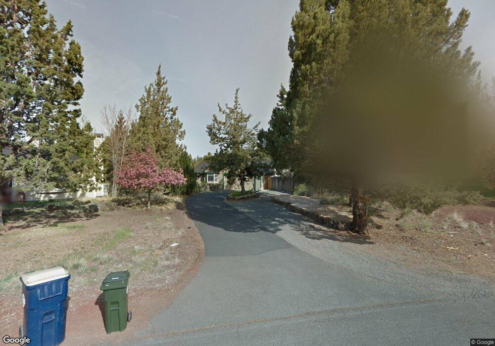
63345 Eastview Dr Bend, OR 97701
Boyd Acres NeighborhoodEstimated Value: $582,504 - $657,000
3
Beds
2
Baths
1,654
Sq Ft
$375/Sq Ft
Est. Value
About This Home
This home is located at 63345 Eastview Dr, Bend, OR 97701 and is currently estimated at $620,626, approximately $375 per square foot. 63345 Eastview Dr is a home located in Deschutes County with nearby schools including Lava Ridge Elementary School, Sky View Middle School, and Mountain View Senior High School.
Ownership History
Date
Name
Owned For
Owner Type
Purchase Details
Closed on
Feb 12, 2025
Sold by
Willey Family Trust and Willey Chester Earl
Bought by
Earl And Janene Willey Irrevocable Trust and Willey-Ewart
Current Estimated Value
Purchase Details
Closed on
Apr 28, 2005
Sold by
Willey Chester Earl and Willey Dorothy Janene
Bought by
Willey Chester Earl and Willey Dorothy Janene
Home Financials for this Owner
Home Financials are based on the most recent Mortgage that was taken out on this home.
Original Mortgage
$169,400
Interest Rate
4.74%
Mortgage Type
Negative Amortization
Create a Home Valuation Report for This Property
The Home Valuation Report is an in-depth analysis detailing your home's value as well as a comparison with similar homes in the area
Home Values in the Area
Average Home Value in this Area
Purchase History
| Date | Buyer | Sale Price | Title Company |
|---|---|---|---|
| Earl And Janene Willey Irrevocable Trust | -- | None Listed On Document | |
| Willey Chester Earl | -- | Western Title & Escrow Co | |
| Willey Chester Earl | -- | Western Title & Escrow Co |
Source: Public Records
Mortgage History
| Date | Status | Borrower | Loan Amount |
|---|---|---|---|
| Previous Owner | Willey Chester Earl | $169,400 |
Source: Public Records
Tax History Compared to Growth
Tax History
| Year | Tax Paid | Tax Assessment Tax Assessment Total Assessment is a certain percentage of the fair market value that is determined by local assessors to be the total taxable value of land and additions on the property. | Land | Improvement |
|---|---|---|---|---|
| 2025 | $4,180 | $247,410 | -- | -- |
| 2024 | $4,022 | $240,210 | -- | -- |
| 2023 | $3,728 | $233,220 | $0 | $0 |
| 2022 | $3,479 | $219,840 | $0 | $0 |
| 2021 | $3,484 | $213,440 | $0 | $0 |
| 2020 | $3,305 | $213,440 | $0 | $0 |
| 2019 | $3,213 | $207,230 | $0 | $0 |
| 2018 | $3,123 | $201,200 | $0 | $0 |
| 2017 | $3,031 | $195,340 | $0 | $0 |
| 2016 | $2,891 | $189,660 | $0 | $0 |
| 2015 | $2,811 | $184,140 | $0 | $0 |
| 2014 | $2,728 | $178,780 | $0 | $0 |
Source: Public Records
Map
Nearby Homes
- 63326 NE Brightwater Dr
- 21072 NE High Desert Ln
- Avery Plan at Acadia Pointe
- Jade Plan at Acadia Pointe
- Hickory Plan at Acadia Pointe
- Larwood Plan at Acadia Pointe
- Magnolia Plan at Acadia Pointe
- Leverich Plan at Acadia Pointe
- Ashland Plan at Acadia Pointe
- Cypress Plan at Acadia Pointe
- 20676 Morningstar Dr
- 63254 Carly Ln
- 63250 NE Carly Ln
- 63246 NE Carly Ln
- 63238 Carly Ln
- 63230 Carly Ln
- 63226 Carly Ln
- 63222 Carly Ln
- 63218 Carly Ln
- 63249 Carly Ln
- 63337 Eastview Dr
- 63349 Eastview Dr
- 20837 Liberty Ln
- 20835 Rorick Dr
- 20831 Liberty Ln
- 20825 Rorick Dr
- 20825 Liberty Ln
- 63357 Eastview Dr
- 63336 Eastview Dr
- 63323 Eastview Dr
- 63342 Eastview Dr
- 20836 Liberty Ln
- 20830 Liberty Ln
- 20842 Liberty Ln
- 20807 Liberty Ln
- 20832 Rorick Dr
- 20826 Rorick Dr
- 20854 Liberty Ln
- 20824 Liberty Ln
- 20838 Rorick Dr