6337 Oak St Harris, MN 55032
Estimated Value: $324,500
Studio
--
Bath
--
Sq Ft
10,454
Sq Ft Lot
About This Home
This home is located at 6337 Oak St, Harris, MN 55032 and is currently priced at $324,500. 6337 Oak St is a home with nearby schools including North Branch Middle School, Sunrise River Elementary School, and North Branch Senior High School.
Ownership History
Date
Name
Owned For
Owner Type
Purchase Details
Closed on
Aug 4, 2017
Sold by
Callahan Deanna J
Bought by
Mccloskey Kathleen and Mccloskey Nicholas
Current Estimated Value
Purchase Details
Closed on
Jun 27, 2013
Sold by
Boeck Charles and Henry Boeck Deanna
Bought by
Callahan Deanna J
Home Financials for this Owner
Home Financials are based on the most recent Mortgage that was taken out on this home.
Original Mortgage
$58,913
Interest Rate
3.87%
Mortgage Type
FHA
Purchase Details
Closed on
Nov 8, 2004
Sold by
Vellieux Gregory P
Bought by
Boeck Charles H
Create a Home Valuation Report for This Property
The Home Valuation Report is an in-depth analysis detailing your home's value as well as a comparison with similar homes in the area
Purchase History
| Date | Buyer | Sale Price | Title Company |
|---|---|---|---|
| Mccloskey Kathleen | $154,630 | -- | |
| Callahan Deanna J | $62,000 | -- | |
| Boeck Charles H | $182,500 | -- |
Source: Public Records
Mortgage History
| Date | Status | Borrower | Loan Amount |
|---|---|---|---|
| Previous Owner | Callahan Deanna J | $58,913 |
Source: Public Records
Tax History
| Year | Tax Paid | Tax Assessment Tax Assessment Total Assessment is a certain percentage of the fair market value that is determined by local assessors to be the total taxable value of land and additions on the property. | Land | Improvement |
|---|---|---|---|---|
| 2024 | $12 | $900 | $0 | $0 |
| 2023 | $10 | $900 | $900 | $0 |
| 2022 | $8 | $800 | $800 | $0 |
| 2021 | $8 | $600 | $0 | $0 |
| 2020 | $10 | $600 | $600 | $0 |
| 2019 | $10 | $0 | $0 | $0 |
| 2018 | $10 | $0 | $0 | $0 |
| 2017 | $10 | $0 | $0 | $0 |
| 2016 | $10 | $0 | $0 | $0 |
| 2015 | $8 | $0 | $0 | $0 |
| 2014 | -- | $500 | $0 | $0 |
Source: Public Records
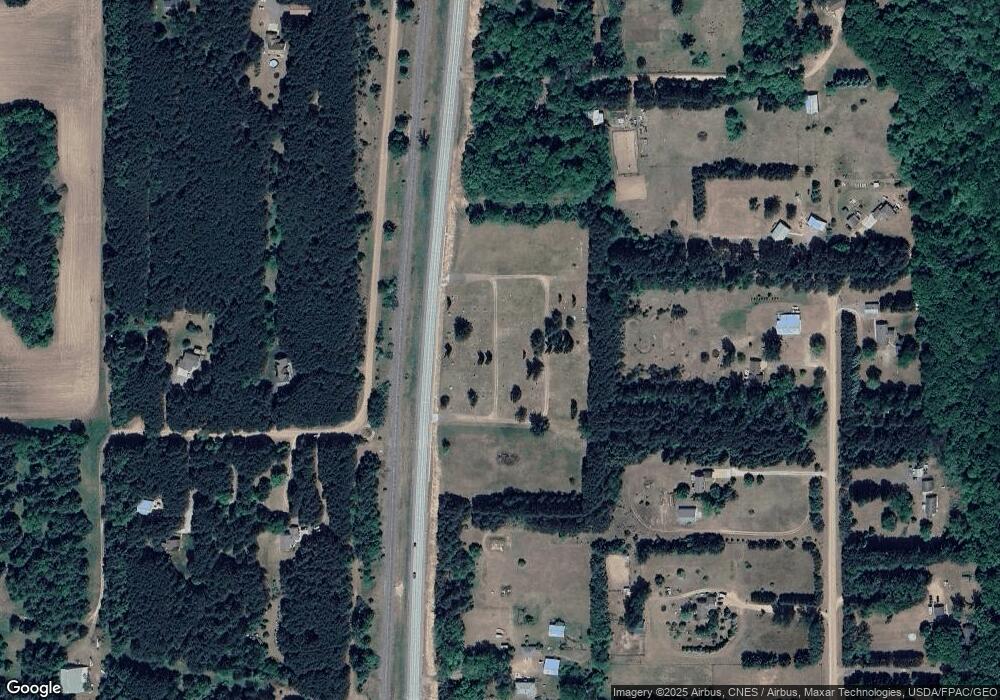
Map
Nearby Homes
- TBD Stark Road Ln
- 43890 Ginger Ave
- 67xx Old Sawmill Rd
- 1xx Stark Rd
- 43xx2 Falcon Ave
- 7418 450th St
- XXX 424th St
- 41921 Goodview Ave
- 5048 450th St
- TBD 412th St
- 40867 Forest Blvd
- 40830 Fenian Way
- 5222 406th St
- 9484 Sunrise Rd
- TBD Spring Lake Rd NE
- 44080 Maple Ln
- TBD Joywood Ave
- 400 400th St
- 5475 Fall Meadow Trail
- 5477 Fall Meadow Trail
Your Personal Tour Guide
Ask me questions while you tour the home.