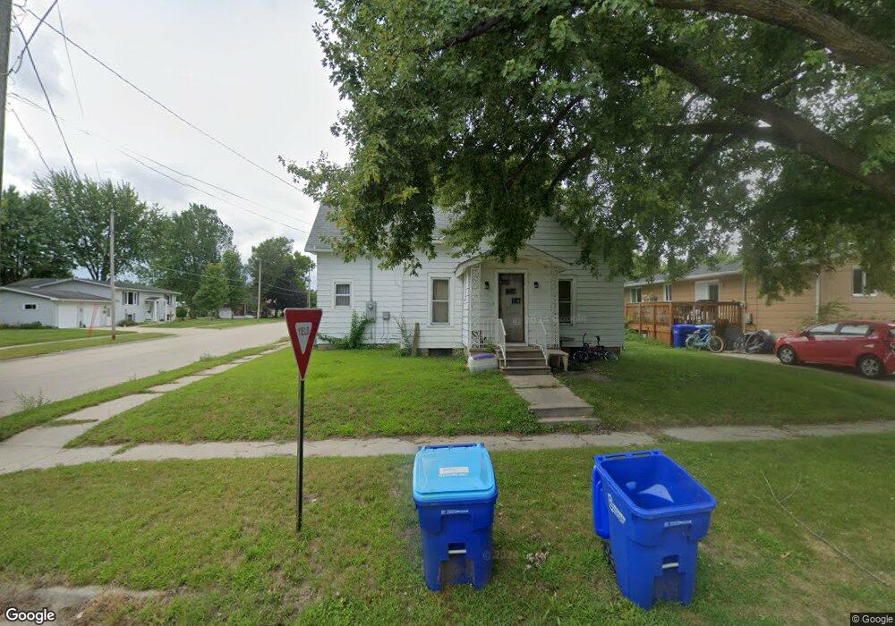
634 4th Ave SW Oelwein, IA 50662
Estimated Value: $58,112 - $78,000
3
Beds
1
Bath
1,071
Sq Ft
$63/Sq Ft
Est. Value
About This Home
This home is located at 634 4th Ave SW, Oelwein, IA 50662 and is currently estimated at $67,778, approximately $63 per square foot. 634 4th Ave SW is a home located in Fayette County with nearby schools including Little Husky Learning Center, Parkside Elementary School, and Wings Park Elementary School.
Ownership History
Date
Name
Owned For
Owner Type
Purchase Details
Closed on
Jun 18, 2025
Sold by
Bolton Lucian N and Bolton Ashley M
Bought by
Wendel Elwood D
Current Estimated Value
Purchase Details
Closed on
Apr 16, 2025
Sold by
Bolt Properties Llc
Bought by
Bolton Lucian N and Bolton Ashley M
Create a Home Valuation Report for This Property
The Home Valuation Report is an in-depth analysis detailing your home's value as well as a comparison with similar homes in the area
Home Values in the Area
Average Home Value in this Area
Purchase History
| Date | Buyer | Sale Price | Title Company |
|---|---|---|---|
| Wendel Elwood D | $22,500 | None Listed On Document | |
| Wendel Elwood D | $22,500 | None Listed On Document | |
| Bolton Lucian N | $38,500 | None Listed On Document | |
| Bolton Lucian N | $38,500 | None Listed On Document |
Source: Public Records
Tax History Compared to Growth
Tax History
| Year | Tax Paid | Tax Assessment Tax Assessment Total Assessment is a certain percentage of the fair market value that is determined by local assessors to be the total taxable value of land and additions on the property. | Land | Improvement |
|---|---|---|---|---|
| 2025 | $712 | $50,780 | $7,800 | $42,980 |
| 2024 | $712 | $47,030 | $7,800 | $39,230 |
| 2023 | $694 | $47,030 | $7,800 | $39,230 |
| 2022 | $636 | $38,940 | $6,500 | $32,440 |
| 2021 | $636 | $38,940 | $6,500 | $32,440 |
| 2020 | $606 | $36,040 | $4,680 | $31,360 |
| 2019 | $470 | $29,820 | $0 | $0 |
| 2018 | $456 | $29,820 | $0 | $0 |
| 2017 | $386 | $25,580 | $0 | $0 |
| 2016 | $372 | $25,580 | $0 | $0 |
| 2015 | $372 | $0 | $0 | $0 |
| 2014 | $556 | $0 | $0 | $0 |
Source: Public Records
Map
Nearby Homes
- 719 S Frederick Ave
- Lots 111 & 112 SW 2nd Ave
- 0 Parcel: 1822126038 Unit NBR20254735
- 0 Parcel: 1822126035 Unit NBR20254717
- 0 Unit NBR20253628
- 108 8th St SE
- 140 4th Ave SW
- 973 S Frederick Ave
- 919 1st Ave SE
- 305 8th Ave SW
- 534 4th Ave SE
- 205 8th Ave SW
- 412 W Charles St
- 12 5th Ave NW
- 115 10th Ave SW
- 111 1st St NW
- 300 6th Ave SE
- 418 7th Ave SE
- 40 5th Ave SE
- 107 5th Ave SE