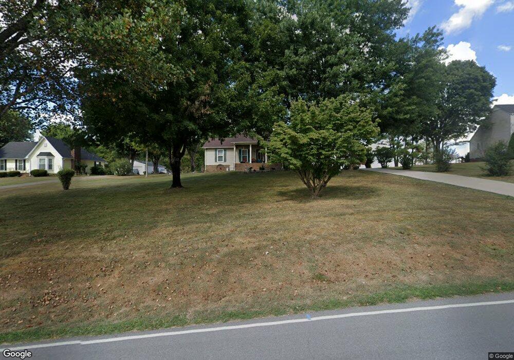
6342 Gum Station Rd Springfield, TN 37172
Estimated Value: $258,432 - $381,000
Studio
2
Baths
1,300
Sq Ft
$256/Sq Ft
Est. Value
About This Home
This home is located at 6342 Gum Station Rd, Springfield, TN 37172 and is currently estimated at $332,358, approximately $255 per square foot. 6342 Gum Station Rd is a home located in Robertson County with nearby schools including Robert F. Woodall Elementary School, White House Heritage Elementary School, and White House Heritage High School.
Ownership History
Date
Name
Owned For
Owner Type
Purchase Details
Closed on
Jan 5, 1999
Sold by
Henley Joe R
Bought by
Seabolt Ricky W
Current Estimated Value
Home Financials for this Owner
Home Financials are based on the most recent Mortgage that was taken out on this home.
Original Mortgage
$106,603
Outstanding Balance
$28,701
Interest Rate
6.72%
Estimated Equity
$303,657
Purchase Details
Closed on
Jun 27, 1995
Bought by
Henley Joe R
Purchase Details
Closed on
Sep 25, 1987
Bought by
Stinson James T
Create a Home Valuation Report for This Property
The Home Valuation Report is an in-depth analysis detailing your home's value as well as a comparison with similar homes in the area
Home Values in the Area
Average Home Value in this Area
Purchase History
| Date | Buyer | Sale Price | Title Company |
|---|---|---|---|
| Seabolt Ricky W | $109,900 | -- | |
| Henley Joe R | $86,900 | -- | |
| Stinson James T | -- | -- |
Source: Public Records
Mortgage History
| Date | Status | Borrower | Loan Amount |
|---|---|---|---|
| Open | Stinson James T | $106,603 |
Source: Public Records
Tax History
| Year | Tax Paid | Tax Assessment Tax Assessment Total Assessment is a certain percentage of the fair market value that is determined by local assessors to be the total taxable value of land and additions on the property. | Land | Improvement |
|---|---|---|---|---|
| 2025 | $1,017 | $56,500 | $16,250 | $40,250 |
| 2024 | $1,017 | $56,500 | $16,250 | $40,250 |
| 2023 | $1,017 | $56,500 | $16,250 | $40,250 |
| 2022 | $979 | $38,025 | $6,875 | $31,150 |
| 2021 | $979 | $38,025 | $6,875 | $31,150 |
| 2020 | $979 | $38,025 | $6,875 | $31,150 |
| 2019 | $979 | $38,025 | $6,875 | $31,150 |
| 2018 | $979 | $38,025 | $6,875 | $31,150 |
| 2017 | $833 | $27,000 | $3,675 | $23,325 |
| 2016 | $833 | $27,000 | $3,675 | $23,325 |
| 2015 | $799 | $27,000 | $3,675 | $23,325 |
| 2014 | $799 | $27,000 | $3,675 | $23,325 |
Source: Public Records
Map
Nearby Homes
- 3538 Armstrong Rd
- 3695 Armstrong Rd
- 1074 Pair Six Dr
- 3972 Baggett Rd
- 5904 Highway 76 E
- 4031 Wells Rd
- 238 Clydesdale Ln
- 6840 Herbert Shannon Rd
- 3941 Baggett Rd
- 312 Brandywine Ln
- 317 Brandywine Ln
- 349 Fieldstone Ln
- 4247 Armstrong Rd
- 5827 Highway 76 E
- 117 Brandywine Ln
- 128 Fieldstone Ln
- 161 Fieldstone Ln
- 4019 Highland Dr
- 141 Foxrun
- 7855 Bethlehem Rd
- 6338 Gum Station Rd
- 6348 Gum Station Rd
- 6350 Gum Station Rd
- 6332 Gum Station Rd
- 6341 Gum Station Rd
- 6331 Gum Station Rd
- 6347 Gum Station Rd
- 6360 Gum Station Rd
- 6328 Gum Station Rd
- 6353 Gum Station Rd
- 6329 Gum Station Rd
- 6339 Gum Station Rd
- 6318 Gum Station Rd
- 6368 Gum Station Rd
- 6317 Gum Station Rd
- 6365 Gum Station Rd
- 6310 Gum Station Rd
- 6372 Gum Station Rd
- 6311 Gum Station Rd
- 1024 Lorilei Ln
Your Personal Tour Guide
Ask me questions while you tour the home.