6350 Colton Blvd Billings, MT 59106
West Shiloh NeighborhoodEstimated Value: $555,000 - $1,888,687
4
Beds
3
Baths
3,163
Sq Ft
$442/Sq Ft
Est. Value
About This Home
This home is located at 6350 Colton Blvd, Billings, MT 59106 and is currently estimated at $1,397,562, approximately $441 per square foot. 6350 Colton Blvd is a home located in Yellowstone County with nearby schools including Meadowlark School, Ben Steele Middle School, and Billings West High School.
Ownership History
Date
Name
Owned For
Owner Type
Purchase Details
Closed on
Aug 21, 2024
Sold by
Erlenbush Blaine and Duncan Corine
Bought by
Watson Family Trust and Watson
Current Estimated Value
Home Financials for this Owner
Home Financials are based on the most recent Mortgage that was taken out on this home.
Original Mortgage
$1,540,000
Outstanding Balance
$1,522,640
Interest Rate
6.89%
Mortgage Type
New Conventional
Estimated Equity
-$125,078
Purchase Details
Closed on
Mar 27, 2023
Sold by
Erlenbush Linda G
Bought by
Erlenbush Linda G and Erlenbush Blaine
Purchase Details
Closed on
Dec 21, 2012
Sold by
Connaghan Robert L and Connaghan Elizabeth E
Bought by
Erlenbush Gene C and Erlenbush Linda G
Create a Home Valuation Report for This Property
The Home Valuation Report is an in-depth analysis detailing your home's value as well as a comparison with similar homes in the area
Home Values in the Area
Average Home Value in this Area
Purchase History
| Date | Buyer | Sale Price | Title Company |
|---|---|---|---|
| Watson Family Trust | -- | First Montana Title | |
| Erlenbush Linda G | -- | None Listed On Document | |
| Duncan Corine | -- | None Listed On Document | |
| Erlenbush Gene C | -- | None Available |
Source: Public Records
Mortgage History
| Date | Status | Borrower | Loan Amount |
|---|---|---|---|
| Open | Watson Family Trust | $1,540,000 |
Source: Public Records
Tax History Compared to Growth
Tax History
| Year | Tax Paid | Tax Assessment Tax Assessment Total Assessment is a certain percentage of the fair market value that is determined by local assessors to be the total taxable value of land and additions on the property. | Land | Improvement |
|---|---|---|---|---|
| 2025 | $5,212 | $796,935 | $7,945 | $788,990 |
| 2024 | $5,212 | $632,430 | $6,700 | $625,730 |
| 2023 | $5,116 | $632,430 | $6,700 | $625,730 |
| 2022 | $4,036 | $522,133 | $0 | $0 |
| 2021 | $4,674 | $522,133 | $0 | $0 |
| 2020 | $4,760 | $518,078 | $0 | $0 |
| 2019 | $4,670 | $518,078 | $0 | $0 |
| 2018 | $4,386 | $473,546 | $0 | $0 |
| 2017 | $3,664 | $473,546 | $0 | $0 |
| 2016 | $4,243 | $481,893 | $0 | $0 |
| 2015 | $4,145 | $481,893 | $0 | $0 |
| 2014 | $3,732 | $231,122 | $0 | $0 |
Source: Public Records
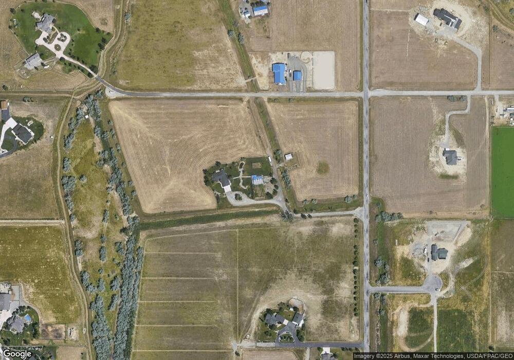
Map
Nearby Homes
- 5222 Camp Ln
- 5209 Camp Ln
- 0000 Creek Crossing Rd
- 613 Candle Light Ln
- xxxx 60th St W
- 1220 Buffalo Crossing Dr
- 1222 Buffalo Crossing Dr
- 6312 Absaloka Ln
- 1220-1222 Buffalo Crossing Dr
- 1517 Kit Ln W
- 1208 Buffalo Crossing Dr
- 6307 Absaloka Ln
- 5906 Foxtail Loop W
- 1210 Buffalo Crossing Dr
- 1616 58th St W
- 6325 Beckville Ln
- 6312 Decker Ln
- 6309 Decker Ln
- 6386 Signal Peak Ave
- 6424 Southern Bluffs Ln
- 1800 62nd St W
- 2280 62nd St W
- 6500 Hardy Place
- 6126 Colton Blvd
- TBD Creekside Crossing Lot 2
- TBD Creekside Crossing Lot 1
- 1700 62nd St W
- 5215 Camp Ln
- 5228 Camp Ln
- 2242 River Agate Ln
- 2336 River Agate Ln
- 1005 Creek Crossing Rd
- 1004 Creek Crossing Rd
- 0 Creek Crossing Rd
- 6405 Colton Blvd
- 62nd 74th St W
- 6505 Cold Stone Ln
- 6530 Hardy Place
- 6525 Hardy Place
- 6500 Cold Stone Ln