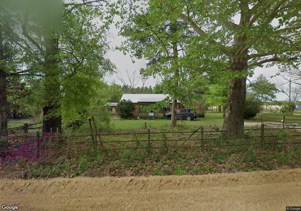
6353 Tower Rd Bascom, FL 32423
Estimated Value: $117,105 - $166,000
3
Beds
1
Bath
1,054
Sq Ft
$130/Sq Ft
Est. Value
About This Home
This home is located at 6353 Tower Rd, Bascom, FL 32423 and is currently estimated at $137,276, approximately $130 per square foot. 6353 Tower Rd is a home located in Jackson County with nearby schools including Malone School.
Ownership History
Date
Name
Owned For
Owner Type
Purchase Details
Closed on
Jul 28, 2021
Sold by
North American Farms Inc
Bought by
Nieto Miguel and Nieto Amador
Current Estimated Value
Purchase Details
Closed on
Oct 28, 2014
Sold by
Hall David S
Bought by
North American Farms Inc
Purchase Details
Closed on
Jul 10, 2006
Sold by
Hall David S and Hall Amanda Adams
Bought by
Forrester Holdings Llc
Purchase Details
Closed on
Aug 24, 2000
Sold by
Johnson Ida L
Bought by
Hall David S
Home Financials for this Owner
Home Financials are based on the most recent Mortgage that was taken out on this home.
Original Mortgage
$455,000
Interest Rate
8.07%
Create a Home Valuation Report for This Property
The Home Valuation Report is an in-depth analysis detailing your home's value as well as a comparison with similar homes in the area
Purchase History
| Date | Buyer | Sale Price | Title Company |
|---|---|---|---|
| Nieto Miguel | $100 | Johnston Hinesley Pc | |
| North American Farms Inc | $55,000 | Attorney | |
| Forrester Holdings Llc | $2,821,300 | None Available | |
| Hall David S | $52,900 | Florida Land Title & Trust C |
Source: Public Records
Mortgage History
| Date | Status | Borrower | Loan Amount |
|---|---|---|---|
| Previous Owner | Hall David S | $455,000 |
Source: Public Records
Tax History
| Year | Tax Paid | Tax Assessment Tax Assessment Total Assessment is a certain percentage of the fair market value that is determined by local assessors to be the total taxable value of land and additions on the property. | Land | Improvement |
|---|---|---|---|---|
| 2025 | $1,163 | $87,199 | $32,600 | $54,599 |
| 2024 | $1,178 | $88,131 | $32,600 | $55,531 |
| 2023 | $1,096 | $86,690 | $32,600 | $54,090 |
| 2022 | $914 | $73,843 | $29,340 | $44,503 |
| 2021 | $748 | $58,316 | $22,820 | $35,496 |
| 2020 | $709 | $53,928 | $22,820 | $31,108 |
| 2019 | $747 | $53,949 | $22,820 | $31,129 |
| 2018 | $754 | $54,491 | $22,820 | $31,671 |
| 2017 | $759 | $54,729 | $22,820 | $31,909 |
| 2016 | $711 | $55,081 | $22,820 | $32,261 |
| 2015 | $638 | $45,647 | $13,040 | $32,607 |
| 2014 | $573 | $40,672 | $10,640 | $30,032 |
Source: Public Records
Map
Nearby Homes
- 6345 Bull Frog Dr
- 0 Speights Way
- 4686 Dunaway Rd
- 4584 Dunaway Rd
- TBD Wolf Pond Rd
- 00 Lovedale Rd
- Lot 2 Oscar Rd
- Lot 1 Oscar Rd
- 4170 Wintergreen Rd
- 0 Tower Rd
- 5894 Jasper Rd
- 4583 Dickson Rd
- 5678 Hummingbird Rd
- 4727 Georgia Rd
- 00 Green Rd
- 5917 Fort Rd Unit 69RD
- 4023 Sylvania Plantation Rd
- 5744 Fort Rd
- 5837 Catalina Ln
- 5947 Highway 2
- 0000 Tower Rd
- 6354 Tower Rd
- Lot 2 Tower Rd
- Lot 1 Tower Rd
- 00 Tower Rd
- 6255 Tower Rd
- 6359 Bullfrog Dr
- 6463 Tower Rd
- 6471 Tower Rd
- 4762 Wintergreen Rd
- 4829 Ditty Rd
- 4740 Wintergreen Rd
- 6375 Bullfrog Dr
- 4694 Dunaway Rd
- 4759 Wintergreen Rd
- 4645 Dunaway Rd
- 4727 Wintergreen Rd
- 4900 Ditty Rd
- 4601 Dunaway Rd
Your Personal Tour Guide
Ask me questions while you tour the home.