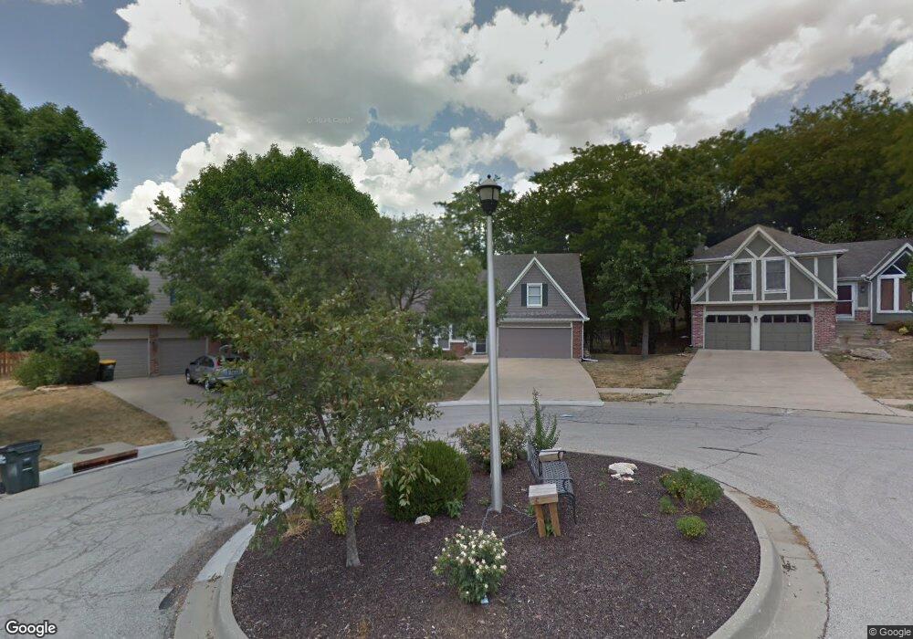
6357 Brockway St Shawnee, KS 66226
Estimated Value: $381,374 - $400,000
3
Beds
2
Baths
1,494
Sq Ft
$262/Sq Ft
Est. Value
About This Home
This home is located at 6357 Brockway St, Shawnee, KS 66226 and is currently estimated at $391,094, approximately $261 per square foot. 6357 Brockway St is a home located in Johnson County with nearby schools including Horizon Elementary School, Monticello Trails Middle School, and Mill Valley High School.
Ownership History
Date
Name
Owned For
Owner Type
Purchase Details
Closed on
Jul 10, 2023
Sold by
Rostohar Raymond and Rostohar Jennifer W
Bought by
Rostohar Raymond and Rostohar Jennifer W
Current Estimated Value
Purchase Details
Closed on
Jul 5, 2007
Sold by
Wakeman Craig E and Wakeman Elizabeth A
Bought by
Rostohar Raymond and Rostohar Jennifer W
Create a Home Valuation Report for This Property
The Home Valuation Report is an in-depth analysis detailing your home's value as well as a comparison with similar homes in the area
Home Values in the Area
Average Home Value in this Area
Purchase History
| Date | Buyer | Sale Price | Title Company |
|---|---|---|---|
| Rostohar Raymond | -- | None Listed On Document | |
| Rostohar Raymond | -- | Chicago Title Ins Co |
Source: Public Records
Tax History Compared to Growth
Tax History
| Year | Tax Paid | Tax Assessment Tax Assessment Total Assessment is a certain percentage of the fair market value that is determined by local assessors to be the total taxable value of land and additions on the property. | Land | Improvement |
|---|---|---|---|---|
| 2024 | $4,804 | $41,435 | $8,439 | $32,996 |
| 2023 | $4,520 | $38,479 | $8,439 | $30,040 |
| 2022 | $4,407 | $36,743 | $7,035 | $29,708 |
| 2021 | $3,828 | $30,613 | $6,699 | $23,914 |
| 2020 | $3,620 | $28,681 | $6,093 | $22,588 |
| 2019 | $3,483 | $27,186 | $5,024 | $22,162 |
| 2018 | $3,221 | $24,909 | $5,024 | $19,885 |
| 2017 | $3,286 | $24,794 | $4,584 | $20,210 |
| 2016 | $3,181 | $23,702 | $4,584 | $19,118 |
| 2015 | $2,989 | $21,954 | $4,584 | $17,370 |
| 2013 | -- | $20,850 | $4,584 | $16,266 |
Source: Public Records
Map
Nearby Homes
- 22213 W 64th Terrace
- 7943 Noble St
- 7939 Noble St
- 6031 Lakecrest Dr
- 24621 W 60th St
- 6001 Hedge Lane Terrace
- 6000 Hedge Lane Terrace
- 22209 W 57th St
- 6246 Woodland Dr
- 6820 Marion St
- 6764 Longview Rd
- 6753 Longview Rd
- 5725 Marion St
- 21315 W 56th St
- 21309 W 56th St
- 5531 Hilltop Dr
- 15517 W 168th Terrace
- 5817 Millbrook St
- 20805 W 68th Terrace
- 21217 W 55th Terrace
- 6361 Brockway St
- 6356 Brockway St
- 6358 Payne St
- 6360 Brockway St
- 6362 Payne St
- 6365 Brockway St
- 6354 Payne St
- 6364 Brockway St
- 6368 Brockway St
- 6366 Payne St
- 6350 Payne St
- 6401 Brockway St
- 6400 Brockway St
- 6363 Payne St
- 6359 Payne St
- 6351 Payne St
- 6355 Payne St
- 6367 Payne St
- 6405 Brockway St
- 6404 Brockway St