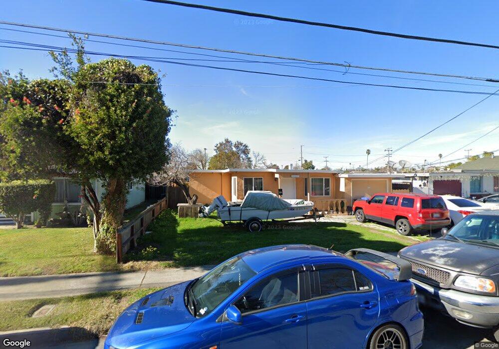
6367 Dairy Ave Newark, CA 94560
Estimated Value: $846,000 - $880,000
3
Beds
1
Bath
942
Sq Ft
$915/Sq Ft
Est. Value
About This Home
This home is located at 6367 Dairy Ave, Newark, CA 94560 and is currently estimated at $862,247, approximately $915 per square foot. 6367 Dairy Ave is a home located in Alameda County with nearby schools including Coyote Hills Elementary School, Newark Junior High School, and Newark Memorial High School.
Ownership History
Date
Name
Owned For
Owner Type
Purchase Details
Closed on
Nov 13, 2009
Sold by
Wong Mendy and Lam Isabel
Bought by
Wong Mendy Lam and Lam Isabel
Current Estimated Value
Purchase Details
Closed on
Sep 25, 2009
Sold by
Wong Mendy and Wong Oliver
Bought by
Wong Mendy and Lam Isabel
Purchase Details
Closed on
Oct 20, 2000
Sold by
Wong Mendy
Bought by
Wong Mendy and Wong Oliver
Create a Home Valuation Report for This Property
The Home Valuation Report is an in-depth analysis detailing your home's value as well as a comparison with similar homes in the area
Home Values in the Area
Average Home Value in this Area
Purchase History
| Date | Buyer | Sale Price | Title Company |
|---|---|---|---|
| Wong Mendy Lam | -- | None Available | |
| Wong Mendy | -- | None Available | |
| Wong Mendy | -- | -- |
Source: Public Records
Tax History
| Year | Tax Paid | Tax Assessment Tax Assessment Total Assessment is a certain percentage of the fair market value that is determined by local assessors to be the total taxable value of land and additions on the property. | Land | Improvement |
|---|---|---|---|---|
| 2025 | $3,429 | $236,389 | $71,176 | $165,213 |
| 2024 | $3,429 | $231,755 | $69,781 | $161,974 |
| 2023 | $3,321 | $227,211 | $68,413 | $158,798 |
| 2022 | $3,258 | $222,757 | $67,072 | $155,685 |
| 2021 | $3,182 | $218,390 | $65,757 | $152,633 |
| 2020 | $3,077 | $216,151 | $65,083 | $151,068 |
| 2019 | $3,038 | $211,913 | $63,807 | $148,106 |
| 2018 | $2,989 | $207,758 | $62,556 | $145,202 |
| 2017 | $2,913 | $203,685 | $61,329 | $142,356 |
| 2016 | $2,870 | $199,692 | $60,127 | $139,565 |
| 2015 | $2,860 | $196,693 | $59,224 | $137,469 |
| 2014 | $2,778 | $192,841 | $58,064 | $134,777 |
Source: Public Records
Map
Nearby Homes
- 6364 Noel Ave
- 6328 Zulmida Ave
- 6245 Thornton Ave
- 37029 Olive St
- 5912 Mayhews Landing Rd
- 36563 Beutke Dr
- 6048 Bellhaven Ave
- 36465 Hafner St
- 6417/6433 Thornton Ave
- 5874 Caleb Ct
- 36184 Toulouse St
- 36057 Dalewood Dr
- 7728 Hazelnut Dr
- 7843 Railroad Ave
- 5585 Fernwood Dr
- 37640 Hyacinth St
- 36255 Casey Ct
- 35952 Rosewood Dr
- 5859 Central Ave
- 8106 Pebble Beach Ave
Your Personal Tour Guide
Ask me questions while you tour the home.