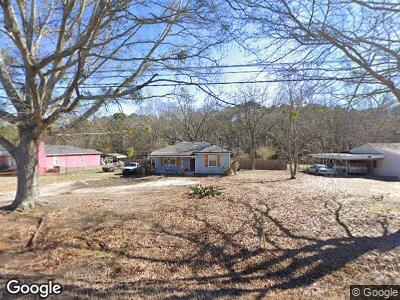
637 Highway 11 SW Monroe, GA 30655
Estimated Value: $194,000 - $253,000
--
Bed
--
Bath
1,044
Sq Ft
$205/Sq Ft
Est. Value
About This Home
This home is located at 637 Highway 11 SW, Monroe, GA 30655 and is currently estimated at $213,570, approximately $204 per square foot. 637 Highway 11 SW is a home located in Walton County with nearby schools including Harmony Elementary School, Carver Middle School, and Monroe Area High School.
Ownership History
Date
Name
Owned For
Owner Type
Purchase Details
Closed on
Apr 3, 2020
Sold by
Pacific Northwest Investments Llc
Bought by
Fortner Jessie and Knowles Shane
Current Estimated Value
Home Financials for this Owner
Home Financials are based on the most recent Mortgage that was taken out on this home.
Original Mortgage
$106,875
Outstanding Balance
$95,776
Interest Rate
3.2%
Mortgage Type
New Conventional
Estimated Equity
$118,973
Purchase Details
Closed on
Oct 1, 2013
Sold by
Boyd Derry M Sheriff
Bought by
Skelton Jonathan L
Create a Home Valuation Report for This Property
The Home Valuation Report is an in-depth analysis detailing your home's value as well as a comparison with similar homes in the area
Home Values in the Area
Average Home Value in this Area
Purchase History
| Date | Buyer | Sale Price | Title Company |
|---|---|---|---|
| Fortner Jessie | $112,500 | -- | |
| Skelton Jonathan L | $9,500 | -- |
Source: Public Records
Mortgage History
| Date | Status | Borrower | Loan Amount |
|---|---|---|---|
| Open | Fortner Jessie | $106,875 | |
| Previous Owner | Brooks David C | $15,324 | |
| Previous Owner | Brooks David C | $77,995 |
Source: Public Records
Tax History Compared to Growth
Tax History
| Year | Tax Paid | Tax Assessment Tax Assessment Total Assessment is a certain percentage of the fair market value that is determined by local assessors to be the total taxable value of land and additions on the property. | Land | Improvement |
|---|---|---|---|---|
| 2024 | $1,369 | $58,240 | $14,000 | $44,240 |
| 2023 | $1,301 | $51,400 | $10,800 | $40,600 |
| 2022 | $1,260 | $45,680 | $9,800 | $35,880 |
| 2021 | $1,207 | $37,040 | $6,000 | $31,040 |
| 2020 | $1,197 | $35,840 | $5,560 | $30,280 |
| 2019 | $589 | $18,080 | $4,960 | $13,120 |
| 2018 | $605 | $18,080 | $4,960 | $13,120 |
| 2017 | $577 | $16,760 | $4,000 | $12,760 |
| 2016 | $511 | $15,040 | $4,000 | $11,040 |
| 2015 | $501 | $14,520 | $4,000 | $10,520 |
| 2014 | $539 | $15,240 | $0 | $0 |
Source: Public Records
Map
Nearby Homes
- 1283 Mount Paran Church Rd
- 1334 Criswell Rd SE
- LOT 4 Mount Paran Church Rd
- LOT 5 Mount Paran Church Rd
- 1149 Criswell Rd SE
- 0 Criswell Rd Unit 7417062
- 0 Highway 11 Unit 10342939
- 0 Dial Rd Pannell Rd Unit 10467503
- 2441 Waterside Dr
- 569 White Oak Way
- 2429 Waterside Dr
- 0 Dial Rd Unit 7506285
- 0 Dial Rd Unit 10443881
- 0 Dial Rd Unit 10298330
- 329 Magnolia Ln
- 15 Dial Rd
- 703 White Oak Trail
- 709 White Oak Trail
- 1531 Overlook Pass Rd
- 637 Highway 11 SW
- 637 State Highway 11
- 641 Highway 11 SW
- 633 Highway 11 SW
- 629 State Highway 11
- 629 Highway 11 SW
- 647 Highway 11
- 625 Highway 11 SW
- 1387 Criswell Rd SE
- 1387 Criswell Rd SE
- 621 Highway 11 SW
- 1388 Criswell Rd SE
- 617 Highway 11 SW
- 1383 Criswell Rd SE
- 613 Highway 11 SW
- 1385 Criswell Rd SE
- 607 Highway 11
- 607 Highway 11
- 1298 Criswell Rd SE
- 659 Highway 11 SW