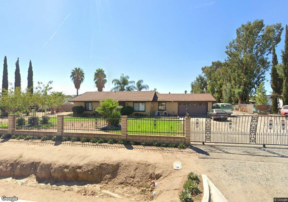
637 W Markham St Perris, CA 92571
Estimated Value: $532,625 - $581,000
3
Beds
2
Baths
1,449
Sq Ft
$388/Sq Ft
Est. Value
About This Home
This home is located at 637 W Markham St, Perris, CA 92571 and is currently estimated at $562,156, approximately $387 per square foot. 637 W Markham St is a home located in Riverside County with nearby schools including May Ranch Elementary School, March Middle School, and Citrus Hill High School.
Ownership History
Date
Name
Owned For
Owner Type
Purchase Details
Closed on
Jun 16, 2025
Sold by
Veik Rodney
Bought by
Veik Family Trust and Veik
Current Estimated Value
Purchase Details
Closed on
Jun 26, 2017
Sold by
Veik Rodney and Veik Diane
Bought by
Veik Rodney
Purchase Details
Closed on
Dec 20, 1993
Sold by
Veik Rodney D
Bought by
Veik Rodney D and Veik Diane L
Home Financials for this Owner
Home Financials are based on the most recent Mortgage that was taken out on this home.
Original Mortgage
$70,000
Interest Rate
3.75%
Mortgage Type
Purchase Money Mortgage
Create a Home Valuation Report for This Property
The Home Valuation Report is an in-depth analysis detailing your home's value as well as a comparison with similar homes in the area
Purchase History
| Date | Buyer | Sale Price | Title Company |
|---|---|---|---|
| Veik Family Trust | -- | None Listed On Document | |
| Veik Rodney | -- | None Available | |
| Veik Rodney | -- | None Available | |
| Veik Rodney D | -- | First American Title Ins Co |
Source: Public Records
Mortgage History
| Date | Status | Borrower | Loan Amount |
|---|---|---|---|
| Previous Owner | Veik Rodney D | $70,000 |
Source: Public Records
Tax History
| Year | Tax Paid | Tax Assessment Tax Assessment Total Assessment is a certain percentage of the fair market value that is determined by local assessors to be the total taxable value of land and additions on the property. | Land | Improvement |
|---|---|---|---|---|
| 2025 | $1,859 | $174,478 | $36,231 | $138,247 |
| 2023 | $1,859 | $167,705 | $34,825 | $132,880 |
| 2022 | $1,802 | $164,418 | $34,143 | $130,275 |
| 2021 | $1,765 | $161,195 | $33,474 | $127,721 |
| 2020 | $1,747 | $159,543 | $33,131 | $126,412 |
| 2019 | $1,639 | $156,416 | $32,482 | $123,934 |
| 2018 | $1,615 | $153,350 | $31,846 | $121,504 |
| 2017 | $1,575 | $150,344 | $31,222 | $119,122 |
| 2016 | $1,556 | $147,397 | $30,610 | $116,787 |
| 2015 | $1,532 | $145,185 | $30,151 | $115,034 |
| 2014 | $1,512 | $142,343 | $29,561 | $112,782 |
Source: Public Records
Map
Nearby Homes
- 22950 W Markham St
- 4153 N Webster Ave
- 4439 Wade Ave Unit 1-5
- 80 E Dawes St Unit 52
- 80 E Dawes St
- 80 E Dawes St Unit 97
- 80 E Dawes St Unit 115
- 80 E Dawes St Unit 85
- 80 E Dawes St Unit 10
- 18583 Seaton Ave
- 0 Ramona Expy
- 19111 Seaton Ave
- 22738 Redwood Dr
- 16958 Indian St
- 763 Augusta Dr
- 22540 Markham St
- 18420 Decker Rd
- 745 Spyglass Ct
- 16825 Baltic Ct
- 24780 Suburban Ln
- 617 W Markham St
- 657 W Markham St
- 0 W Markham Unit CV15032620
- 0 W Markham Unit PW15089619
- 0 W Markham Unit PW15238561
- 0 W Markham Unit PW16151727
- 4342 Brennan Ave
- 677 W Markham St
- 4232 Brennan Ave
- 4312 Brennan Ave
- 4322 Brennan Ave
- 717 W Markham St
- 730 W Markham St
- 4302 Brennan Ave
- 4292 Brennan Ave
- 737 W Markham St
- 4333 N Webster Ave
- 4272 Brennan Ave
- 4293 N Webster Ave
- 4262 Brennan Ave
Your Personal Tour Guide
Ask me questions while you tour the home.