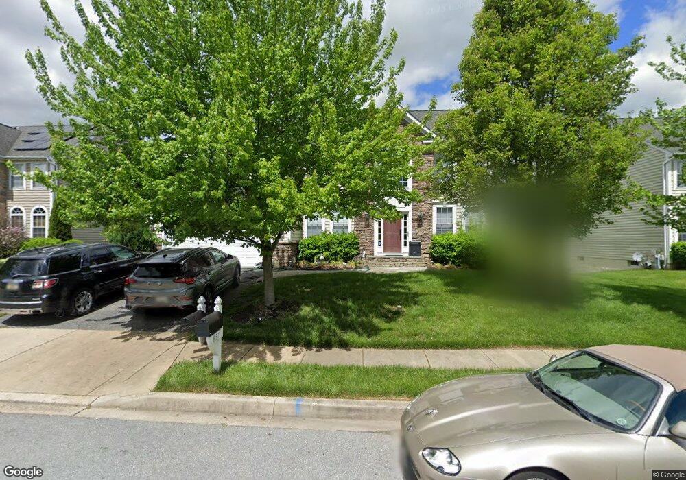
637 Wyndstar Cir Westminster, MD 21158
Estimated Value: $671,661 - $753,000
--
Bed
4
Baths
3,724
Sq Ft
$192/Sq Ft
Est. Value
About This Home
This home is located at 637 Wyndstar Cir, Westminster, MD 21158 and is currently estimated at $715,915, approximately $192 per square foot. 637 Wyndstar Cir is a home located in Carroll County with nearby schools including William Winchester Elementary School, Westminster East Middle School, and Winters Mill High School.
Ownership History
Date
Name
Owned For
Owner Type
Purchase Details
Closed on
Apr 17, 2007
Sold by
Wyndtryst Development Corp Inc
Bought by
Jackson Samuel E and Jackson Monica R
Current Estimated Value
Home Financials for this Owner
Home Financials are based on the most recent Mortgage that was taken out on this home.
Original Mortgage
$100,000
Outstanding Balance
$80,254
Interest Rate
6.24%
Mortgage Type
Purchase Money Mortgage
Estimated Equity
$635,661
Purchase Details
Closed on
Feb 1, 2007
Sold by
Wyndtryst Development Corp Inc
Bought by
Jackson Samuel E and Jackson Monica R
Home Financials for this Owner
Home Financials are based on the most recent Mortgage that was taken out on this home.
Original Mortgage
$465,450
Interest Rate
6.25%
Mortgage Type
Purchase Money Mortgage
Create a Home Valuation Report for This Property
The Home Valuation Report is an in-depth analysis detailing your home's value as well as a comparison with similar homes in the area
Home Values in the Area
Average Home Value in this Area
Purchase History
| Date | Buyer | Sale Price | Title Company |
|---|---|---|---|
| Jackson Samuel E | $628,987 | -- | |
| Jackson Samuel E | $628,987 | -- |
Source: Public Records
Mortgage History
| Date | Status | Borrower | Loan Amount |
|---|---|---|---|
| Open | Jackson Samuel E | $100,000 | |
| Open | Jackson Samuel E | $465,450 | |
| Closed | Jackson Samuel E | $100,000 | |
| Previous Owner | Jackson Samuel E | $465,450 |
Source: Public Records
Tax History Compared to Growth
Tax History
| Year | Tax Paid | Tax Assessment Tax Assessment Total Assessment is a certain percentage of the fair market value that is determined by local assessors to be the total taxable value of land and additions on the property. | Land | Improvement |
|---|---|---|---|---|
| 2025 | $8,681 | $576,200 | $0 | $0 |
| 2024 | $8,681 | $513,200 | $0 | $0 |
| 2023 | $7,563 | $450,200 | $155,300 | $294,900 |
| 2022 | $7,467 | $444,533 | $0 | $0 |
| 2021 | $7,372 | $438,867 | $0 | $0 |
| 2020 | $7,277 | $433,200 | $155,300 | $277,900 |
| 2019 | $7,206 | $426,400 | $0 | $0 |
| 2018 | $7,049 | $419,600 | $0 | $0 |
| 2017 | $6,934 | $412,800 | $0 | $0 |
| 2016 | -- | $401,767 | $0 | $0 |
| 2015 | -- | $390,733 | $0 | $0 |
| 2014 | -- | $379,700 | $0 | $0 |
Source: Public Records
Map
Nearby Homes
- 634 Spring Meadow Dr
- 670 Spring Meadow Dr
- 315 Meadow Creek Dr
- 717 Meadow Branch Rd
- lot 8 Uniontown Rd
- 214 Pennsylvania Ave
- 465 Pleasanton Rd Unit C14
- 865 Elmwood Ct
- Lot 2 Sullivan Ave
- Lot 1 Sullivan Ave
- 26 Bella Vita Ct
- 393 Juliet Ln
- 577 Rich Mar St
- 686 Windsor Dr
- 7 New Windsor Rd
- 11 Monroe St
- 703 Uniontown Rd
- 761 Johahn Dr
- 88 W Green St
- 416 Hobbitts Ln
- 635 Wyndstar Cir
- 639 Wyndstar Cir
- 648 Spring Meadow Dr
- 646 Spring Meadow Dr
- 650 Spring Meadow Dr
- 633 Wyndstar Cir
- 641 Wyndstar Cir
- 644 Spring Meadow Dr
- 652 Spring Meadow Dr
- 631 Wyndstar Cir
- 643 Wyndstar Cir
- 642 Spring Meadow Dr
- 654 Spring Meadow Dr
- 0 Amherst Ln Unit CR8428866
- 0 Amherst Ln Unit CR8428799
- 0 Amherst Ln Unit CR8520708
- 0 Amherst Ln Unit CR8520696
- 34 Amherst Ln
- LOT 34 Amherst Ln
- LOT 36 Meadow Creek Dr