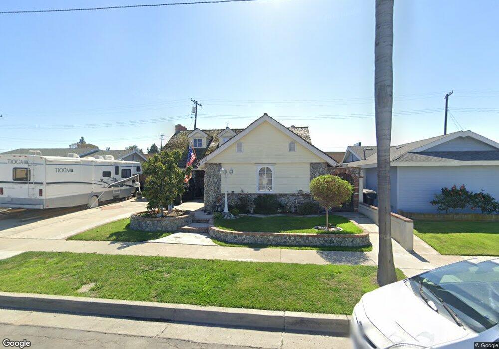
6372 Anthony Ave Garden Grove, CA 92845
West Garden Grove NeighborhoodEstimated Value: $1,035,000 - $1,276,000
5
Beds
3
Baths
1,931
Sq Ft
$610/Sq Ft
Est. Value
About This Home
This home is located at 6372 Anthony Ave, Garden Grove, CA 92845 and is currently estimated at $1,177,435, approximately $609 per square foot. 6372 Anthony Ave is a home located in Orange County with nearby schools including Loyal Barker Elementary School, Hilton D. Bell Intermediate School, and Pacifica High School.
Ownership History
Date
Name
Owned For
Owner Type
Purchase Details
Closed on
Dec 5, 1996
Sold by
Bragg Robert D and Bragg Mary J
Bought by
Jeffrey Gary Gene and Jeffrey Kendra Lynn
Current Estimated Value
Home Financials for this Owner
Home Financials are based on the most recent Mortgage that was taken out on this home.
Original Mortgage
$152,800
Interest Rate
7.81%
Create a Home Valuation Report for This Property
The Home Valuation Report is an in-depth analysis detailing your home's value as well as a comparison with similar homes in the area
Home Values in the Area
Average Home Value in this Area
Purchase History
| Date | Buyer | Sale Price | Title Company |
|---|---|---|---|
| Jeffrey Gary Gene | $170,000 | Commonwealth Land Title Co |
Source: Public Records
Mortgage History
| Date | Status | Borrower | Loan Amount |
|---|---|---|---|
| Closed | Jeffrey Gary Gene | $152,800 |
Source: Public Records
Tax History Compared to Growth
Tax History
| Year | Tax Paid | Tax Assessment Tax Assessment Total Assessment is a certain percentage of the fair market value that is determined by local assessors to be the total taxable value of land and additions on the property. | Land | Improvement |
|---|---|---|---|---|
| 2025 | $4,093 | $294,596 | $133,161 | $161,435 |
| 2024 | $4,093 | $288,820 | $130,550 | $158,270 |
| 2023 | $4,005 | $283,157 | $127,990 | $155,167 |
| 2022 | $3,907 | $277,605 | $125,480 | $152,125 |
| 2021 | $3,861 | $272,162 | $123,019 | $149,143 |
| 2020 | $3,811 | $269,372 | $121,758 | $147,614 |
| 2019 | $3,704 | $264,091 | $119,371 | $144,720 |
| 2018 | $3,627 | $258,913 | $117,030 | $141,883 |
| 2017 | $3,571 | $253,837 | $114,736 | $139,101 |
| 2016 | $3,406 | $248,860 | $112,486 | $136,374 |
| 2015 | $3,354 | $245,122 | $110,796 | $134,326 |
| 2014 | $3,244 | $237,428 | $108,626 | $128,802 |
Source: Public Records
Map
Nearby Homes
- 12871 Taylor St
- 13036 Springarden Ln
- 13040 Springarden Ln
- 13100 Melanie Ln Unit 99
- 13371 Springdale St
- 6891 Stanford Ave
- 6532 Bestel Ave
- 6949 Danvers Dr
- 13562 Springdale St
- 6925 Brightwood Ln Unit 108
- 6971 Knollcrest Ln Unit 47
- 12581 George Reyburn Rd
- 12586 George Reyburn Rd
- 13472 Willamette Dr
- 12202 Wutzke St
- 13688 Eastbridge St
- 5832 Ludlow Ave
- 13731 Springdale St
- 12671 Saint Mark St
- 6751 Klondike Ave
- 6362 Anthony Ave
- 6382 Anthony Ave
- 6392 Anthony Ave
- 6361 Anthony Ave
- 6381 Anthony Ave
- 6402 Anthony Ave
- 6342 Anthony Ave
- 6351 Anthony Ave
- 6391 Anthony Ave
- 6322 Anthony Ave
- 6412 Anthony Ave
- 12872 Taylor St
- 12891 Sylvan St
- 6382 Acacia Ave
- 12861 Poplar St
- 12891 Taylor St
- 6312 Anthony Ave
- 6392 Acacia Ave
- 12881 Sylvan St
- 12862 Taylor St