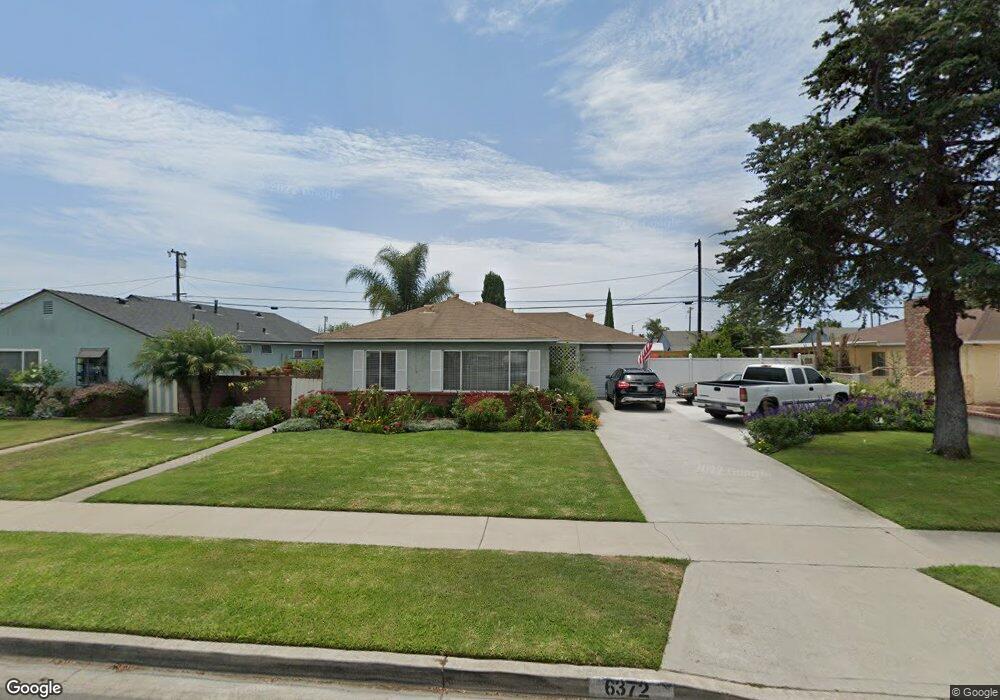
6372 Apache Rd Westminster, CA 92683
Estimated Value: $886,774 - $1,020,000
4
Beds
2
Baths
1,237
Sq Ft
$788/Sq Ft
Est. Value
About This Home
This home is located at 6372 Apache Rd, Westminster, CA 92683 and is currently estimated at $974,194, approximately $787 per square foot. 6372 Apache Rd is a home located in Orange County with nearby schools including Finley Elementary, Johnson Middle, and Westminster High School.
Ownership History
Date
Name
Owned For
Owner Type
Purchase Details
Closed on
Jan 24, 2023
Sold by
Kale Robert E
Bought by
Robert E Kale Family Trust
Current Estimated Value
Purchase Details
Closed on
Feb 24, 2021
Sold by
Kale Delores Joann and Clay D And Joann Kale Family T
Bought by
Kale Delores Joann and Kale Robert E
Purchase Details
Closed on
Jan 11, 1995
Sold by
Kale Claywood D and Kale Jo Ann D
Bought by
Kale Claywood Dempsey and Kale Delores Joann
Create a Home Valuation Report for This Property
The Home Valuation Report is an in-depth analysis detailing your home's value as well as a comparison with similar homes in the area
Home Values in the Area
Average Home Value in this Area
Purchase History
| Date | Buyer | Sale Price | Title Company |
|---|---|---|---|
| Robert E Kale Family Trust | -- | None Listed On Document | |
| Kale Delores Joann | -- | None Available | |
| Kale Claywood Dempsey | -- | -- |
Source: Public Records
Tax History
| Year | Tax Paid | Tax Assessment Tax Assessment Total Assessment is a certain percentage of the fair market value that is determined by local assessors to be the total taxable value of land and additions on the property. | Land | Improvement |
|---|---|---|---|---|
| 2025 | $3,055 | $223,529 | $158,754 | $64,775 |
| 2024 | $3,055 | $219,147 | $155,642 | $63,505 |
| 2023 | $2,951 | $214,850 | $152,590 | $62,260 |
| 2022 | $2,898 | $210,638 | $149,598 | $61,040 |
| 2021 | $2,819 | $206,508 | $146,664 | $59,844 |
| 2020 | $2,788 | $204,391 | $145,160 | $59,231 |
| 2019 | $2,760 | $200,384 | $142,314 | $58,070 |
| 2018 | $2,756 | $196,455 | $139,523 | $56,932 |
| 2017 | $2,662 | $192,603 | $136,787 | $55,816 |
| 2016 | $2,588 | $188,827 | $134,105 | $54,722 |
| 2015 | $2,546 | $185,991 | $132,090 | $53,901 |
| 2014 | $2,492 | $182,348 | $129,502 | $52,846 |
Source: Public Records
Map
Nearby Homes
- 13036 Springarden Ln
- 12872 Sylvan St
- 6282 Cheyenne Dr
- 12632 Sylvan St
- 6122 Anthony Ave
- 6691 Killarney Ave
- 6848 Citriadora Ct
- 6949 Danvers Dr
- 6071 Modoc Rd
- 6751 Klondike Ave
- 6141 Trinette Ave
- 6952 Brightwood Ln Unit 3
- 5701 Norma Dr
- 6231 Pickett Ave
- 13581 Yosemite Dr
- 13722 Hammon Place
- 12272 Chase St
- 12586 George Reyburn Rd
- 5602 Placer Ave
- 5352 Duncannon Ave
- 6382 Apache Rd
- 6362 Apache Rd
- 6371 Bannock Rd
- 6381 Bannock Rd
- 6361 Bannock Rd
- 6392 Apache Rd
- 6352 Apache Rd
- 6371 Apache Rd
- 6381 Apache Rd
- 6391 Bannock Rd
- 6351 Bannock Rd
- 6412 Apache Rd
- 6342 Apache Rd
- 13032 Taos Place
- 6351 Apache Rd
- 6411 Bannock Rd
- 6341 Bannock Rd
- 13031 Yuma Place
- 6372 Bannock Rd
- 6362 Bannock Rd
Your Personal Tour Guide
Ask me questions while you tour the home.