63737 Redbud Rd Cambridge, OH 43725
Estimated Value: $224,282 - $326,000
--
Bed
1
Bath
2,088
Sq Ft
$129/Sq Ft
Est. Value
About This Home
This home is located at 63737 Redbud Rd, Cambridge, OH 43725 and is currently estimated at $268,321, approximately $128 per square foot. 63737 Redbud Rd is a home with nearby schools including Pike Elementary School, Larry Miller Intermediate Elementary School, and East Muskingum Middle School.
Ownership History
Date
Name
Owned For
Owner Type
Purchase Details
Closed on
Nov 8, 2012
Sold by
Tiree Land Limited
Bought by
Wilson Thomas and Wilson Courtney
Current Estimated Value
Home Financials for this Owner
Home Financials are based on the most recent Mortgage that was taken out on this home.
Original Mortgage
$54,400
Interest Rate
3.35%
Mortgage Type
New Conventional
Create a Home Valuation Report for This Property
The Home Valuation Report is an in-depth analysis detailing your home's value as well as a comparison with similar homes in the area
Home Values in the Area
Average Home Value in this Area
Purchase History
| Date | Buyer | Sale Price | Title Company |
|---|---|---|---|
| Wilson Thomas | $32,750 | Alban Title |
Source: Public Records
Mortgage History
| Date | Status | Borrower | Loan Amount |
|---|---|---|---|
| Closed | Wilson Thomas | $54,400 |
Source: Public Records
Tax History Compared to Growth
Tax History
| Year | Tax Paid | Tax Assessment Tax Assessment Total Assessment is a certain percentage of the fair market value that is determined by local assessors to be the total taxable value of land and additions on the property. | Land | Improvement |
|---|---|---|---|---|
| 2024 | $2,070 | $52,206 | $7,350 | $44,856 |
| 2023 | $2,072 | $41,766 | $5,880 | $35,886 |
| 2022 | $1,805 | $41,770 | $5,880 | $35,890 |
| 2021 | $1,748 | $41,770 | $5,880 | $35,890 |
| 2020 | $1,954 | $46,210 | $9,250 | $36,960 |
| 2019 | $1,814 | $46,210 | $9,250 | $36,960 |
| 2018 | $1,774 | $46,210 | $9,250 | $36,960 |
| 2017 | $1,685 | $40,050 | $8,040 | $32,010 |
| 2016 | $1,687 | $40,050 | $8,040 | $32,010 |
| 2015 | $1,691 | $40,050 | $8,040 | $32,010 |
| 2014 | -- | $36,160 | $7,060 | $29,100 |
| 2013 | $1,548 | $36,160 | $7,060 | $29,100 |
Source: Public Records
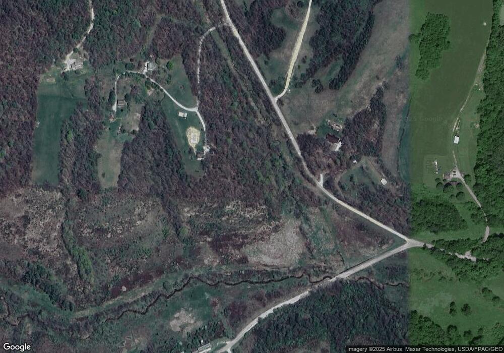
Map
Nearby Homes
- 64895 Lovers Lane Rd
- 0 Haught Rd Unit LOTWP001 24504411
- 0 Haught Rd
- 3859 Mayfair Ln
- 4480 Peters Creek Rd
- 53 Paden Rd
- 1420 Glenn Hwy
- Lot 18 & 19 Greenbriar Dr
- 61220 Kadon Dr
- 12985 John Glenn School Rd
- 60936 Patch Rd
- 5580 Friendship Dr
- 1165 Friendship Dr
- 67 E Main St
- 930 Friendship Dr
- 8 E Main St
- 154 Montgomery Blvd
- 760 Friendship Dr
- 112 Thompson Ave
- 62063 Savage Rd
- 63755 Redbud Rd
- 63702 Redbud Rd
- 63821 Redbud Rd
- 63883 Redbud Rd
- 63650 Redbud Rd
- 63875 Redbud Rd
- 0 Peters Creek Rd
- 2383 Peters Creek Rd
- 63886 Redbud Rd
- 1979 Peters Creek Rd
- 1633 Peters Creek Rd
- 2815 Peters Creek Rd
- 64200 Campfire Rd
- 63528 Cabin Hill Rd
- 63888 Cabin Hill Rd
- 64566 Campfire Rd
- 63644 Campfire Rd
- 63652 Campfire Rd
- 63374 Cabin Hill Rd
- 63674 Campfire Rd