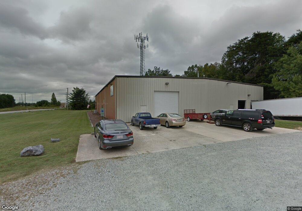
6386 Burnt Poplar Rd Greensboro, NC 27409
Estimated Value: $1,197,706
--
Bed
2
Baths
14,250
Sq Ft
$84/Sq Ft
Est. Value
About This Home
This home is located at 6386 Burnt Poplar Rd, Greensboro, NC 27409 and is currently estimated at $1,197,706, approximately $84 per square foot. 6386 Burnt Poplar Rd is a home located in Guilford County with nearby schools including Guilford Elementary School, Western Guilford Middle School, and Western Guilford High School.
Ownership History
Date
Name
Owned For
Owner Type
Purchase Details
Closed on
Jan 11, 2001
Sold by
Biggerstaff Properties Llc
Bought by
Lobo Llc
Current Estimated Value
Home Financials for this Owner
Home Financials are based on the most recent Mortgage that was taken out on this home.
Original Mortgage
$460,000
Outstanding Balance
$169,600
Interest Rate
7.53%
Mortgage Type
Commercial
Estimated Equity
$1,028,106
Create a Home Valuation Report for This Property
The Home Valuation Report is an in-depth analysis detailing your home's value as well as a comparison with similar homes in the area
Home Values in the Area
Average Home Value in this Area
Purchase History
| Date | Buyer | Sale Price | Title Company |
|---|---|---|---|
| Lobo Llc | $500,000 | -- |
Source: Public Records
Mortgage History
| Date | Status | Borrower | Loan Amount |
|---|---|---|---|
| Open | Lobo Llc | $460,000 |
Source: Public Records
Tax History Compared to Growth
Tax History
| Year | Tax Paid | Tax Assessment Tax Assessment Total Assessment is a certain percentage of the fair market value that is determined by local assessors to be the total taxable value of land and additions on the property. | Land | Improvement |
|---|---|---|---|---|
| 2025 | $8,793 | $626,700 | $281,600 | $345,100 |
| 2024 | $8,793 | $626,700 | $281,600 | $345,100 |
| 2023 | $8,793 | $626,700 | $281,600 | $345,100 |
| 2022 | $8,542 | $626,700 | $281,600 | $345,100 |
| 2021 | $7,455 | $535,200 | $256,000 | $279,200 |
| 2020 | $7,455 | $535,200 | $256,000 | $279,200 |
| 2019 | $7,455 | $535,200 | $0 | $0 |
| 2018 | $7,241 | $535,200 | $0 | $0 |
| 2017 | $7,241 | $535,200 | $0 | $0 |
| 2016 | $7,945 | $573,900 | $0 | $0 |
| 2015 | $6,634 | $476,400 | $0 | $0 |
| 2014 | $6,682 | $476,400 | $0 | $0 |
Source: Public Records
Map
Nearby Homes
- 7151 W Friendly Ave Unit F
- 7153 W Friendly Ave Unit D
- 7133 W Friendly Ave Unit D
- 7104 W Friendly Ave Unit 310
- 412 Stage Coach Ct
- 509 Greentree Dr
- 5507 Hornaday Rd
- 12 Prairie Trail Unit C
- 6700 W Friendly Ave Unit 2F
- 805 Carriage Crossing Ln Unit E
- 6704 W Friendly Ave Unit 4F
- 5701 Battery Dr Unit H
- 11 Culpepper Cir
- 36 Josephine Cir
- 7 Patrick Henry Way
- 5809 Carriage Ln
- 4452 River Forest Ln
- 4322 Grassy Moss Dr
- 6117 Westwind Dr
- 6112 Lea Ray Dr
- 301 Citation Ct
- 6382 Burnt Poplar Rd
- 207 Citation Ct
- 6373 Burnt Poplar Rd
- 317 Gallimore Dairy Rd
- 313 Gallimore Dairy Rd
- 303 Gallimore Dairy Rd
- 200 Citation Ct
- 305 Friendship Dr
- 7004 Cessna Dr
- 6907 W Market St
- 303 Friendship Dr
- 7009 Cessna Dr
- 7008 Cessna Dr
- 308 Friendship Dr
- 6344 Burnt Poplar Rd
- 304 Friendship Dr
- 7101 Cessna Dr
- 6343 Burnt Poplar Rd
- 7105 Cessna Dr