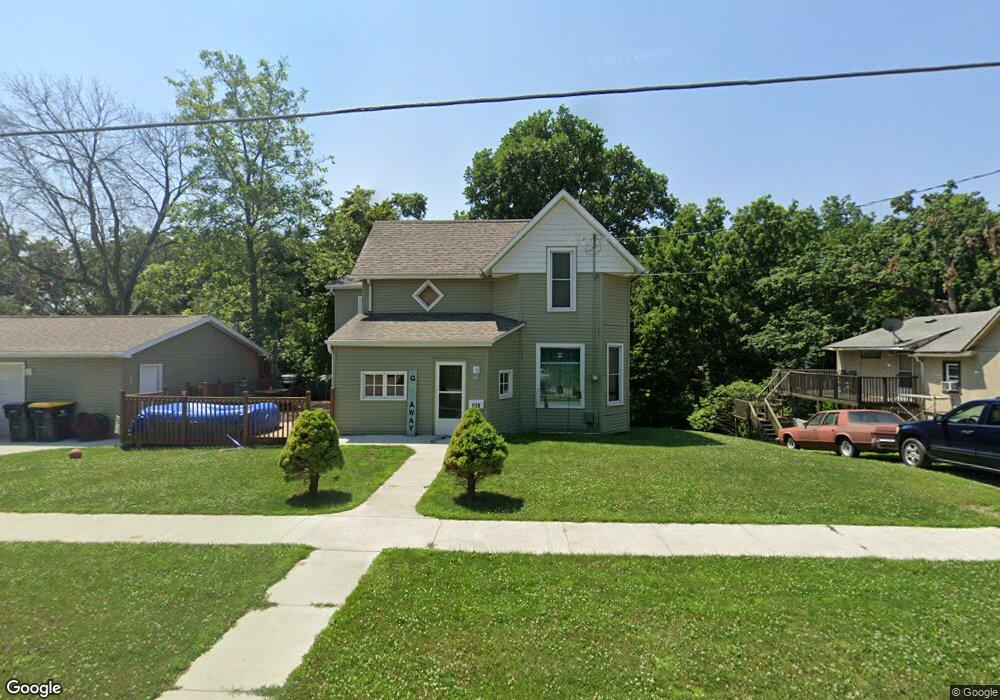
639 E Division St Colfax, IA 50054
Estimated Value: $208,000 - $256,000
4
Beds
2
Baths
1,736
Sq Ft
$135/Sq Ft
Est. Value
About This Home
This home is located at 639 E Division St, Colfax, IA 50054 and is currently estimated at $234,988, approximately $135 per square foot. 639 E Division St is a home located in Jasper County with nearby schools including Colfax-Mingo Elementary School and Colfax-Mingo High School.
Ownership History
Date
Name
Owned For
Owner Type
Purchase Details
Closed on
Jan 15, 2016
Sold by
Webb Philip F
Bought by
Lewis James L N
Current Estimated Value
Home Financials for this Owner
Home Financials are based on the most recent Mortgage that was taken out on this home.
Original Mortgage
$128,634
Outstanding Balance
$102,205
Interest Rate
3.93%
Mortgage Type
New Conventional
Estimated Equity
$132,783
Purchase Details
Closed on
Nov 9, 2009
Sold by
Fagg Arvin Dale
Bought by
Federal Home Loan Mortgage Corporation
Create a Home Valuation Report for This Property
The Home Valuation Report is an in-depth analysis detailing your home's value as well as a comparison with similar homes in the area
Purchase History
| Date | Buyer | Sale Price | Title Company |
|---|---|---|---|
| Lewis James L N | $125,000 | None Available | |
| Federal Home Loan Mortgage Corporation | $96,772 | None Available |
Source: Public Records
Mortgage History
| Date | Status | Borrower | Loan Amount |
|---|---|---|---|
| Open | Lewis James L N | $128,634 |
Source: Public Records
Tax History
| Year | Tax Paid | Tax Assessment Tax Assessment Total Assessment is a certain percentage of the fair market value that is determined by local assessors to be the total taxable value of land and additions on the property. | Land | Improvement |
|---|---|---|---|---|
| 2025 | $3,452 | $212,970 | $23,630 | $189,340 |
| 2024 | $3,452 | $191,590 | $23,630 | $167,960 |
| 2023 | $3,472 | $191,590 | $23,630 | $167,960 |
| 2022 | $2,978 | $155,260 | $23,630 | $131,630 |
| 2021 | $2,584 | $141,620 | $23,630 | $117,990 |
| 2020 | $2,584 | $116,930 | $16,530 | $100,400 |
| 2019 | $2,450 | $105,740 | $0 | $0 |
| 2018 | $2,450 | $101,940 | $0 | $0 |
| 2017 | $1,240 | $58,340 | $0 | $0 |
| 2016 | $1,240 | $58,340 | $0 | $0 |
| 2015 | $1,442 | $58,340 | $0 | $0 |
| 2014 | $1,374 | $58,340 | $0 | $0 |
Source: Public Records
Map
Nearby Homes
- 655 E Division St
- 000 College Ave
- 214 S Lincoln St
- 400 S Goodrich St
- 226 S Iowa St
- 200 Jefferson St
- 205 E Division St
- 300 E Front St
- 221 Cherry St
- 108 S Walnut St
- 238 S Walnut St
- 30 W Pleasant St
- 10114 S 34th Ave W
- 215 W Spring St
- 1132 S Goodrich St
- 501 W Broadway St
- 516 W Spring St
- 521 W Washington St
- 10790 S 36th Ave W
- 11213 Orchard Ave
- 635 E Division St
- 631 E Division St
- 646 E Division St
- 636 E Division St
- 666 E Division St
- 630 E Division St
- 615 E Division St
- 617 E Washington St
- 15 College Ave
- 622 E Division St
- 702 E Division St
- 16 College Ave
- 613 E Division St
- 705 E Division St
- 19 College Ave
- 20 S Goodrich St
- 30 S Goodrich St
- 708 E Division St
- 610 E Division St
- 602 E Division St
Your Personal Tour Guide
Ask me questions while you tour the home.