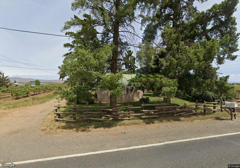
6391 Branch Rd Wapato, WA 98951
Estimated Value: $234,000 - $352,000
3
Beds
1
Bath
1,200
Sq Ft
$247/Sq Ft
Est. Value
About This Home
This home is located at 6391 Branch Rd, Wapato, WA 98951 and is currently estimated at $295,865, approximately $246 per square foot. 6391 Branch Rd is a home located in Yakima County with nearby schools including Harrah Elementary School, Mount Adams Middle School, and White Swan High School.
Ownership History
Date
Name
Owned For
Owner Type
Purchase Details
Closed on
Oct 22, 1998
Sold by
Williams Hugh J and Williams Elizabeth H
Bought by
Hanson Chris K and Hanson Diana C
Current Estimated Value
Home Financials for this Owner
Home Financials are based on the most recent Mortgage that was taken out on this home.
Original Mortgage
$67,500
Outstanding Balance
$14,536
Interest Rate
6.71%
Estimated Equity
$281,329
Create a Home Valuation Report for This Property
The Home Valuation Report is an in-depth analysis detailing your home's value as well as a comparison with similar homes in the area
Home Values in the Area
Average Home Value in this Area
Purchase History
| Date | Buyer | Sale Price | Title Company |
|---|---|---|---|
| Hanson Chris K | $75,000 | First American Title Ins Co |
Source: Public Records
Mortgage History
| Date | Status | Borrower | Loan Amount |
|---|---|---|---|
| Open | Hanson Chris K | $67,500 |
Source: Public Records
Tax History Compared to Growth
Tax History
| Year | Tax Paid | Tax Assessment Tax Assessment Total Assessment is a certain percentage of the fair market value that is determined by local assessors to be the total taxable value of land and additions on the property. | Land | Improvement |
|---|---|---|---|---|
| 2025 | $2,236 | $227,700 | $123,100 | $104,600 |
| 2023 | $957 | $109,900 | $72,900 | $37,000 |
| 2022 | $929 | $103,500 | $69,900 | $33,600 |
| 2021 | $899 | $99,100 | $67,600 | $31,500 |
| 2019 | $867 | $90,500 | $59,400 | $31,100 |
| 2018 | $800 | $80,900 | $49,900 | $31,000 |
| 2017 | $741 | $82,000 | $49,900 | $32,100 |
| 2016 | $752 | $82,800 | $49,900 | $32,900 |
| 2015 | $752 | $82,000 | $49,900 | $32,100 |
| 2014 | $752 | $82,800 | $49,900 | $32,900 |
| 2013 | $752 | $82,800 | $49,900 | $32,900 |
Source: Public Records
Map
Nearby Homes
- 41 Washington St
- 91 Batali St
- 91 W Pioneer St
- NKA McDonald Rd
- NKA Fort Rd
- NKA Progressive Rd
- nka Lateral A Prgrssve Rd Rd
- NNA Fort Rd Unit Fort Rd/Lateral B Rd
- NKA Knights Lane Campbell Rd
- nka W Rd
- NKA Campbell Rd
- 1423 Progressive Rd
- NKA Jones Riggs Rd
- 1601 Lateral B Rd
- 2284 Ashue Rd
- 281 Lateral C Rd
- 754 Kings Ln
- 703 S Naches Ave
- 604 W 4th St
- 0 McDonald Rd
- 6430 Branch Rd
- 5930 Lateral B Rd
- 5961 Branch Rd
- 6190 Lateral B Rd
- 6250 Lateral B Rd
- 5780 Lateral B Rd
- 6161 Lateral B Rd
- 6251 Lateral B Rd
- 6501 Lateral B Rd
- 5371 Lateral B Rd
- 6507 Lateral B Rd
- 5360 Lateral C Rd
- 5300 Lateral B Rd
- 5361 Lateral B Rd
- 5491 Branch Rd
- 5443 Branch Rd
- 5441 Branch Rd
- nna Lateral B Rd
- 4301 Lateral B/Progressi Rd
- 5145 Lateral B Rd