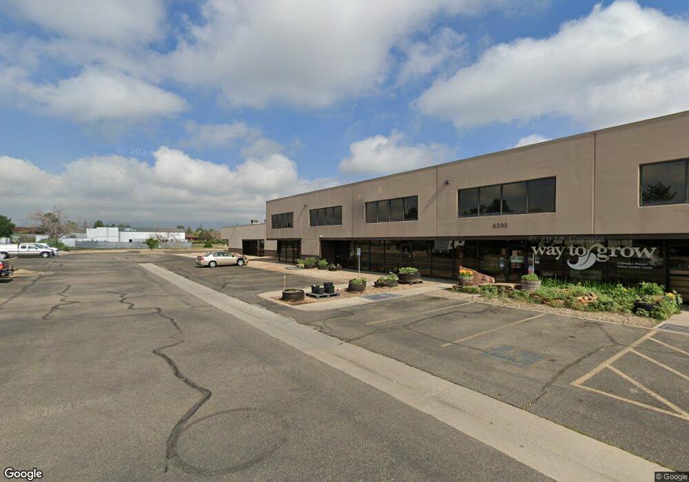
6395 Gunpark Dr Unit M Boulder, CO 80301
Gunbarrel NeighborhoodEstimated Value: $711,955
--
Bed
--
Bath
2,257
Sq Ft
$315/Sq Ft
Est. Value
About This Home
This home is located at 6395 Gunpark Dr Unit M, Boulder, CO 80301 and is currently estimated at $711,955, approximately $315 per square foot. 6395 Gunpark Dr Unit M is a home located in Boulder County with nearby schools including Heatherwood Elementary School, Nevin Platt Middle School, and Boulder High School.
Ownership History
Date
Name
Owned For
Owner Type
Purchase Details
Closed on
Oct 13, 2006
Sold by
One Gunbarrel Ltd
Bought by
Scultura Studios Llc
Current Estimated Value
Home Financials for this Owner
Home Financials are based on the most recent Mortgage that was taken out on this home.
Original Mortgage
$129,950
Interest Rate
8%
Mortgage Type
Seller Take Back
Create a Home Valuation Report for This Property
The Home Valuation Report is an in-depth analysis detailing your home's value as well as a comparison with similar homes in the area
Home Values in the Area
Average Home Value in this Area
Purchase History
| Date | Buyer | Sale Price | Title Company |
|---|---|---|---|
| Scultura Studios Llc | $289,950 | Atgf |
Source: Public Records
Mortgage History
| Date | Status | Borrower | Loan Amount |
|---|---|---|---|
| Closed | Scultura Studios Llc | $129,950 |
Source: Public Records
Tax History Compared to Growth
Tax History
| Year | Tax Paid | Tax Assessment Tax Assessment Total Assessment is a certain percentage of the fair market value that is determined by local assessors to be the total taxable value of land and additions on the property. | Land | Improvement |
|---|---|---|---|---|
| 2025 | $10,676 | $127,143 | -- | $127,143 |
| 2024 | $10,676 | $127,143 | -- | $127,143 |
| 2023 | $10,491 | $121,477 | -- | $121,477 |
| 2022 | $10,934 | $117,740 | $0 | $117,740 |
| 2021 | $10,134 | $117,740 | $0 | $117,740 |
| 2020 | $10,249 | $117,740 | $0 | $117,740 |
| 2019 | $10,092 | $117,740 | $0 | $117,740 |
| 2018 | $7,241 | $83,520 | $0 | $83,520 |
| 2017 | $7,015 | $83,520 | $0 | $83,520 |
| 2016 | $7,122 | $82,273 | $20,822 | $61,451 |
| 2015 | $6,744 | $78,360 | $19,836 | $58,524 |
| 2014 | $6,737 | $78,360 | $19,836 | $58,524 |
Source: Public Records
Map
Nearby Homes
- 5122 Williams Fork Trail Unit 108
- 5120 Williams Fork Trail Unit 213
- 5120 Williams Fork Trail Unit 210
- 5110 Williams Fork Trail Unit 102
- 5102 Williams Fork Trail Unit 205
- 6809 Harvest Rd
- 4985 Twin Lakes Rd Unit 94
- 6850 Frying Pan Rd
- 4945 Twin Lakes Rd Unit 39
- 6919 Hunter Place
- 6972 Roaring Fork Trail
- 6110 Habitat Dr Unit 2
- 6239 Willow Ln Unit 6239
- 6233 Willow Ln Unit 6233
- 4651 Dapple Ln Unit 2
- 5292 Sun Dial Place
- 5904 Gunbarrel Ave Unit B
- 4872 Country Club Way
- 4636 Chestnut Ln Unit 1
- 4839 White Rock Cir Unit D
- 6395 Gunpark Dr
- 6395 Gunpark Dr Unit H
- 6395 Gunpark Dr Unit G
- 6395 Gunpark Dr Unit R & S
- 5303 Spine Rd Unit E
- 6420 Gunpark Dr Unit C
- 6400 Lookout Rd
- 6400 Lookout Rd Unit 130
- 5305 Spine Rd Unit C
- 5305 Spine Rd Unit E
- 5305 Spine Rd Unit F
- 6325 Lookout Rd
- 6500 Lookout Rd
- 7415 Lookout Rd
- 6333 Lookout Rd Unit 6333
- 6455 Spine Rd
- 6440 O'Dell Place
- 5405 Spine Rd
- 6230 Lookout Rd
- 6545 Gunpark Dr Unit 200