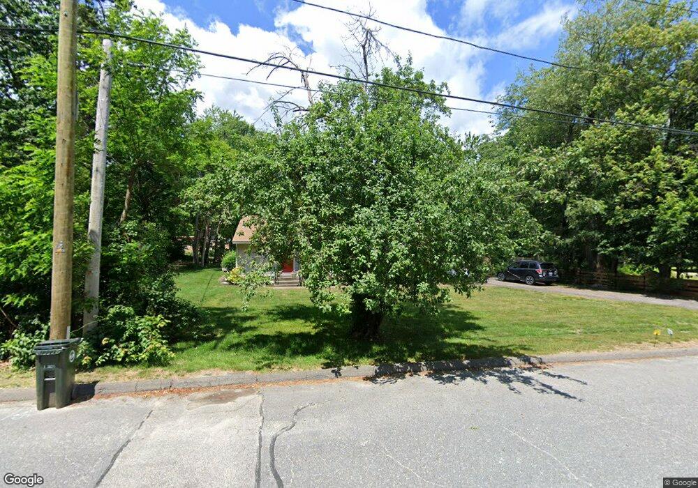
64 Barrows Rd Worcester, MA 01609
West Tatnuck NeighborhoodEstimated Value: $362,000 - $413,000
2
Beds
2
Baths
1,330
Sq Ft
$292/Sq Ft
Est. Value
About This Home
This home is located at 64 Barrows Rd, Worcester, MA 01609 and is currently estimated at $388,316, approximately $291 per square foot. 64 Barrows Rd is a home located in Worcester County with nearby schools including Chandler Magnet, Jacob Hiatt Magnet School, and Flagg Street School.
Ownership History
Date
Name
Owned For
Owner Type
Purchase Details
Closed on
Jan 14, 2000
Sold by
Miller Janice M and Laraia Carol Ann
Bought by
Panagiotou Paraskevi
Current Estimated Value
Home Financials for this Owner
Home Financials are based on the most recent Mortgage that was taken out on this home.
Original Mortgage
$75,000
Interest Rate
7.79%
Mortgage Type
Purchase Money Mortgage
Create a Home Valuation Report for This Property
The Home Valuation Report is an in-depth analysis detailing your home's value as well as a comparison with similar homes in the area
Home Values in the Area
Average Home Value in this Area
Purchase History
| Date | Buyer | Sale Price | Title Company |
|---|---|---|---|
| Panagiotou Paraskevi | $62,000 | -- |
Source: Public Records
Mortgage History
| Date | Status | Borrower | Loan Amount |
|---|---|---|---|
| Open | Panagiotou Paraskevi | $66,000 | |
| Closed | Panagiotou Paraskevi | $75,000 |
Source: Public Records
Tax History
| Year | Tax Paid | Tax Assessment Tax Assessment Total Assessment is a certain percentage of the fair market value that is determined by local assessors to be the total taxable value of land and additions on the property. | Land | Improvement |
|---|---|---|---|---|
| 2025 | $4,671 | $354,100 | $119,100 | $235,000 |
| 2024 | $4,580 | $333,100 | $119,100 | $214,000 |
| 2023 | $4,420 | $308,200 | $103,500 | $204,700 |
| 2022 | $3,787 | $249,000 | $82,800 | $166,200 |
| 2021 | $3,656 | $224,600 | $66,300 | $158,300 |
| 2020 | $3,517 | $206,900 | $66,200 | $140,700 |
| 2019 | $3,307 | $183,700 | $59,800 | $123,900 |
| 2018 | $3,217 | $170,100 | $59,800 | $110,300 |
| 2017 | $3,269 | $170,100 | $59,800 | $110,300 |
| 2016 | $3,178 | $154,200 | $44,600 | $109,600 |
| 2015 | $3,095 | $154,200 | $44,600 | $109,600 |
| 2014 | $3,013 | $154,200 | $44,600 | $109,600 |
Source: Public Records
Map
Nearby Homes
- 16 Baiting Brook Ln Unit 64
- 14 Baiting Brook Ln Unit 65
- 10 Baiting Brook Ln Unit 67
- 5 Chartwell Ln Unit 87
- 8 Salisbury Hill Blvd Unit 79
- 10 Salisbury Hill Blvd Unit 75
- 7 Primmett Ln
- 770 Salisbury St Unit 517
- 770 Salisbury St Unit 333
- 4004 Brompton Cir
- 70 Moreland Green Dr
- 288 Fisher Rd
- 46 Barry Rd
- 61 Barry Rd
- 28 Lynnwood Ln
- 148A Tory Fort Ln
- 163 Moreland St
- 158 Chester St
- 23 Orrison St
- 84 Chester St
- 62 Barrows Road (Off)
- 56 Barrows Rd
- 70 Barrows Rd
- 71 Barrows Rd
- 61 Barrows Rd
- 76 Barrows Rd
- 68 Barrows Rd
- 52 Barrows Rd
- 62 Barrows Rd
- 73 Barrows Rd
- 59 Barrows Rd
- LOT 33 Corinth Dr
- LOT 1A Orient St
- LOT 12 Eastview Dr
- L0T37 Flint Pond Village
- LOT 1 Edwidge St
- LOT 1B March
- L74R Sarah Dr Worc
- LOT104 Potomska
- LOT 29 Flint Pond Village
Your Personal Tour Guide
Ask me questions while you tour the home.