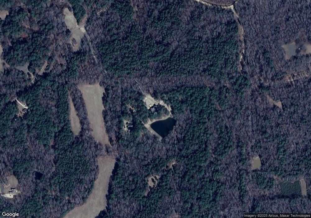
64 County Road 129 Oxford, MS 38655
Estimated Value: $364,000 - $938,563
4
Beds
3
Baths
2,411
Sq Ft
$279/Sq Ft
Est. Value
About This Home
This home is located at 64 County Road 129, Oxford, MS 38655 and is currently estimated at $672,141, approximately $278 per square foot. 64 County Road 129 is a home located in Lafayette County with nearby schools including Lafayette Elementary School, Lafayette Upper Elementary School, and Lafayette Middle School.
Ownership History
Date
Name
Owned For
Owner Type
Purchase Details
Closed on
Jan 31, 2020
Sold by
Huggins John Michael and Huggins Ashley M
Bought by
Huggins John Michael and Huggins Ashley M
Current Estimated Value
Home Financials for this Owner
Home Financials are based on the most recent Mortgage that was taken out on this home.
Original Mortgage
$955,000
Outstanding Balance
$847,824
Interest Rate
3.74%
Mortgage Type
New Conventional
Estimated Equity
-$175,683
Purchase Details
Closed on
Jun 18, 2012
Sold by
Huggins Mike and Huggins John Michael
Bought by
Huggins John Michael and Huggins Ashley M
Create a Home Valuation Report for This Property
The Home Valuation Report is an in-depth analysis detailing your home's value as well as a comparison with similar homes in the area
Home Values in the Area
Average Home Value in this Area
Purchase History
| Date | Buyer | Sale Price | Title Company |
|---|---|---|---|
| Huggins John Michael | -- | None Available | |
| Huggins John Michael | -- | None Available |
Source: Public Records
Mortgage History
| Date | Status | Borrower | Loan Amount |
|---|---|---|---|
| Open | Huggins John Michael | $955,000 |
Source: Public Records
Tax History Compared to Growth
Tax History
| Year | Tax Paid | Tax Assessment Tax Assessment Total Assessment is a certain percentage of the fair market value that is determined by local assessors to be the total taxable value of land and additions on the property. | Land | Improvement |
|---|---|---|---|---|
| 2024 | $10,065 | $95,368 | $0 | $0 |
| 2023 | $10,065 | $95,375 | $0 | $0 |
| 2022 | $9,875 | $95,384 | $0 | $0 |
| 2021 | $10,037 | $95,393 | $0 | $0 |
| 2020 | $9,388 | $91,299 | $0 | $0 |
| 2019 | $9,389 | $91,311 | $0 | $0 |
| 2018 | $9,413 | $91,320 | $0 | $0 |
| 2017 | $2,291 | $21,527 | $0 | $0 |
| 2016 | $2,147 | $20,404 | $0 | $0 |
| 2015 | -- | $20,359 | $0 | $0 |
| 2014 | -- | $10,952 | $0 | $0 |
Source: Public Records
Map
Nearby Homes
- TBD Cr 103
- 25 Cr 126
- 1023 Whitetail Dr
- 1025 Whitetail Dr
- 1027 White Tail Dr
- 492 County Road 101
- 492 Co Rd 101
- 900 Mississippi 7
- 1018 Briarwood Dr
- 611 Cr 102
- 207 Avalon Ln
- 634 Centerpointe Cove
- 511 Canterbury Dr
- 218 Avalon Ln
- 108 Cedar Hill Dr
- 1817 Atlanta Ave
- 1701 Rhett's Dr
- 717 Savannah Dr
- 679 Centerpointe Cove
- 631 Cr 102
- 36 County Road 129
- 32 County Road 129
- 30 County Road 129
- TBD Cr 129
- 105 Leeson Cove
- 0 Cr 129
- 274 County Road 103
- 9 County Road 129
- 245 County Road 103
- 102 Leeson Cove
- 284 County Road 103
- 286 County Road 103
- 300 County Road 103
- 304 County Road 103
- 283 County Road 103
- 198 County Road 103
- 293 County Road 103
- 295 County Road 103
- 15 County Road 114
- 314 County Road 103
