64 Double Hill Rd Bethlehem, CT 06751
Estimated Value: $5,687,766
Studio
5
Baths
--
Sq Ft
2,853,180
Sq Ft Lot
About This Home
This home is located at 64 Double Hill Rd, Bethlehem, CT 06751 and is currently estimated at $5,687,766. 64 Double Hill Rd is a home located in Litchfield County with nearby schools including Bethlehem Elementary School, Mitchell Elementary School, and Woodbury Middle School.
Ownership History
Date
Name
Owned For
Owner Type
Purchase Details
Closed on
Jul 11, 2013
Sold by
Zurko-Smith Michele
Bought by
Health Re Holdings
Current Estimated Value
Purchase Details
Closed on
May 22, 2007
Sold by
Coenen Dale and Coenen Joan
Bought by
Zurko-Smith Michele
Home Financials for this Owner
Home Financials are based on the most recent Mortgage that was taken out on this home.
Original Mortgage
$1,000,000
Interest Rate
9.67%
Mortgage Type
Purchase Money Mortgage
Create a Home Valuation Report for This Property
The Home Valuation Report is an in-depth analysis detailing your home's value as well as a comparison with similar homes in the area
Home Values in the Area
Average Home Value in this Area
Purchase History
| Date | Buyer | Sale Price | Title Company |
|---|---|---|---|
| Health Re Holdings | $3,000,000 | -- | |
| Health Re Holdings | $3,000,000 | -- | |
| Zurko-Smith Michele | $1,250,000 | -- | |
| Zurko-Smith Michele | $1,250,000 | -- |
Source: Public Records
Mortgage History
| Date | Status | Borrower | Loan Amount |
|---|---|---|---|
| Closed | Zurko-Smith Michele | $0 | |
| Previous Owner | Zurko-Smith Michele | $1,000,000 |
Source: Public Records
Tax History
| Year | Tax Paid | Tax Assessment Tax Assessment Total Assessment is a certain percentage of the fair market value that is determined by local assessors to be the total taxable value of land and additions on the property. | Land | Improvement |
|---|---|---|---|---|
| 2025 | $67,030 | $2,968,560 | $144,760 | $2,823,800 |
| 2024 | $64,290 | $2,955,860 | $144,760 | $2,811,100 |
| 2023 | $86,793 | $3,157,250 | $176,550 | $2,980,700 |
| 2022 | $86,593 | $3,148,850 | $176,550 | $2,972,300 |
| 2021 | $85,805 | $3,119,050 | $176,550 | $2,942,500 |
| 2020 | $83,174 | $3,113,950 | $176,550 | $2,937,400 |
| 2019 | $83,423 | $3,113,950 | $176,550 | $2,937,400 |
| 2018 | $76,716 | $3,176,650 | $210,950 | $2,965,700 |
| 2017 | $78,882 | $3,108,050 | $210,950 | $2,897,100 |
| 2016 | $29,767 | $1,271,550 | $210,950 | $1,060,600 |
| 2015 | $27,826 | $1,211,950 | $210,950 | $1,001,000 |
| 2014 | $16,761 | $745,950 | $202,550 | $543,400 |
Source: Public Records
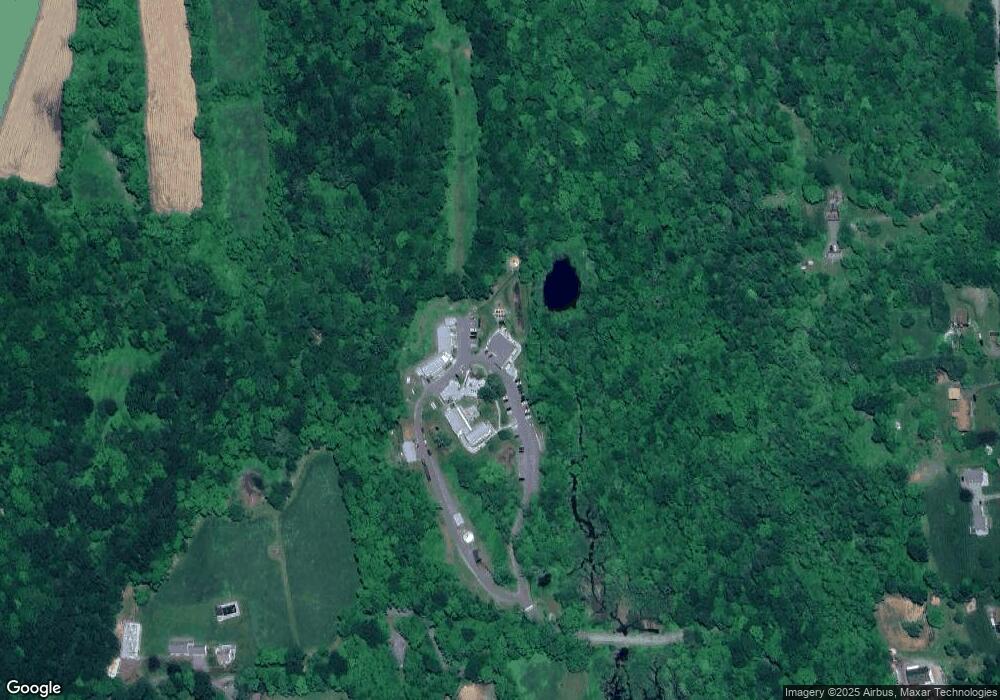
Map
Nearby Homes
- 208 Wood Creek Rd
- 176 Todd Hill Rd
- 184 Todd Hill Rd
- 21 Long Meadow Rd
- 159 Main St N
- 8 Main St N
- 114 Carmel Hill Rd N
- 65 Weekeepeemee Rd
- 298 Kenyon Rd
- 429 Lakeside Rd
- 319 Main St S
- 4 Hard Hill Rd S
- 202 Crane Hollow Rd
- 182 Magnolia Hill Rd
- 28 Sunny Ridge Rd
- 45 Sunny Ridge Rd
- 181 Stoddard Rd
- 44 Bantam Lake Heights
- 20 Cowles Rd
- 7 Hill Top Rd
Your Personal Tour Guide
Ask me questions while you tour the home.