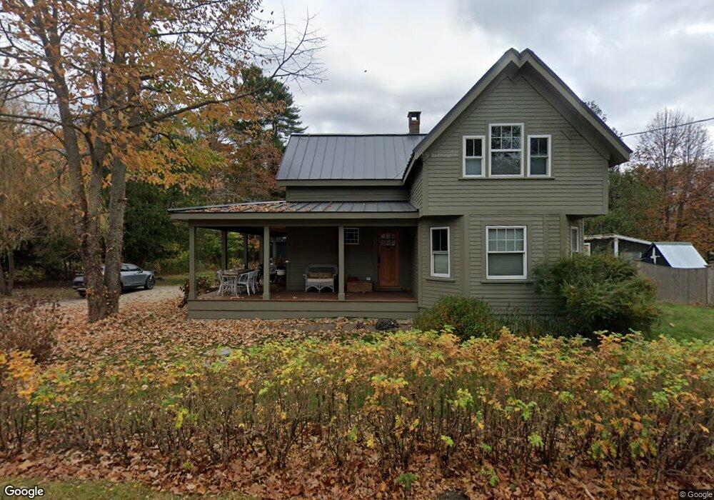
64 High St Kennebunk, ME 04043
Estimated Value: $470,000 - $548,000
2
Beds
2
Baths
1,589
Sq Ft
$321/Sq Ft
Est. Value
About This Home
This home is located at 64 High St, Kennebunk, ME 04043 and is currently estimated at $509,867, approximately $320 per square foot. 64 High St is a home located in York County with nearby schools including Kennebunk High School, School Around Us, and The New School.
Ownership History
Date
Name
Owned For
Owner Type
Purchase Details
Closed on
Jun 28, 2010
Sold by
Freedom Mortgage Corp
Bought by
Federal National Mortgage Association
Current Estimated Value
Home Financials for this Owner
Home Financials are based on the most recent Mortgage that was taken out on this home.
Original Mortgage
$200,000
Outstanding Balance
$132,935
Interest Rate
4.57%
Mortgage Type
Purchase Money Mortgage
Estimated Equity
$376,932
Create a Home Valuation Report for This Property
The Home Valuation Report is an in-depth analysis detailing your home's value as well as a comparison with similar homes in the area
Home Values in the Area
Average Home Value in this Area
Purchase History
| Date | Buyer | Sale Price | Title Company |
|---|---|---|---|
| Federal National Mortgage Association | -- | -- |
Source: Public Records
Mortgage History
| Date | Status | Borrower | Loan Amount |
|---|---|---|---|
| Open | Federal National Mortgage Association | $200,000 |
Source: Public Records
Tax History Compared to Growth
Tax History
| Year | Tax Paid | Tax Assessment Tax Assessment Total Assessment is a certain percentage of the fair market value that is determined by local assessors to be the total taxable value of land and additions on the property. | Land | Improvement |
|---|---|---|---|---|
| 2024 | $4,380 | $258,400 | $87,600 | $170,800 |
| 2023 | $4,075 | $253,900 | $87,600 | $166,300 |
| 2022 | $3,707 | $253,900 | $87,600 | $166,300 |
| 2021 | $3,262 | $253,900 | $87,600 | $166,300 |
| 2020 | $3,239 | $253,900 | $87,600 | $166,300 |
| 2019 | $3,491 | $253,900 | $87,600 | $166,300 |
| 2018 | $3,332 | $190,400 | $65,700 | $124,700 |
| 2017 | $3,151 | $190,400 | $65,700 | $124,700 |
| 2016 | $3,027 | $190,400 | $65,700 | $124,700 |
| 2015 | $2,768 | $190,400 | $65,700 | $124,700 |
| 2014 | $2,695 | $190,400 | $65,700 | $124,700 |
Source: Public Records
Map
Nearby Homes
- 2 Chestnut Ln Unit 2
- 18 Greenwich Way Unit 38
- 54 Sycamore Ln Unit 19
- 17 Legacy Ln
- 30 York St Unit 1
- 22 York St
- 59 Plymouth Grove Unit 11
- 11 Heritage Ln
- 3 Cider Mill Ln
- 47 Brown St
- 5 Cider Mill Ln
- 4 Cider Mill Ln
- 27 Webhannet Place Unit 16
- 17 Water St Unit 9
- 61 Fletcher St
- 3 Kensington Dr
- 17 Hampton Glen Dr Unit 5
- 14 Wiggins Pond Ln
- 9 Hampton Glen Dr Unit 3
- 3 Hardwood Dr
- 62 High St
- 2 Logans Run Unit 2
- 4 Logans Run Unit 4
- 63 High St
- 68 High St
- 6 Logans Run Unit 6
- 8 Logans Run Unit 8
- 3 Logans Run Unit 3
- 61 High St
- 65 High St
- 65C High St
- 66 High St Unit 15
- 66 High St Unit 14
- 66 High St Unit 13
- 66 High St Unit 12
- 66 High St Unit 11
- 66 High St Unit 10
- 66 High St Unit 9
- 66 High St Unit 8
- 66 High St Unit 7