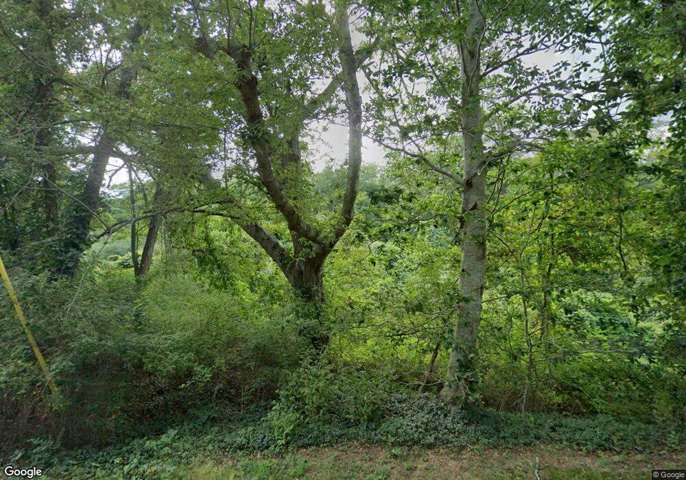
64 Lake Ave Mashpee, MA 02649
Estimated Value: $524,000
Studio
1
Bath
979
Sq Ft
$535/Sq Ft
Est. Value
About This Home
This home is located at 64 Lake Ave, Mashpee, MA 02649 and is currently estimated at $524,000, approximately $535 per square foot. 64 Lake Ave is a home located in Barnstable County with nearby schools including Kenneth C. Coombs School, Quashnet School, and Mashpee Middle School.
Create a Home Valuation Report for This Property
The Home Valuation Report is an in-depth analysis detailing your home's value as well as a comparison with similar homes in the area
Tax History Compared to Growth
Tax History
| Year | Tax Paid | Tax Assessment Tax Assessment Total Assessment is a certain percentage of the fair market value that is determined by local assessors to be the total taxable value of land and additions on the property. | Land | Improvement |
|---|---|---|---|---|
| 2025 | $1,715 | $259,000 | $234,800 | $24,200 |
| 2024 | $1,521 | $236,500 | $213,500 | $23,000 |
| 2023 | $1,579 | $225,200 | $203,300 | $21,900 |
| 2022 | $1,512 | $185,100 | $165,200 | $19,900 |
| 2021 | $1,528 | $168,500 | $148,800 | $19,700 |
| 2020 | $1,479 | $162,700 | $143,200 | $19,500 |
| 2019 | $1,471 | $162,500 | $143,200 | $19,300 |
| 2018 | $1,448 | $162,300 | $143,200 | $19,100 |
| 2017 | $1,502 | $163,400 | $144,300 | $19,100 |
| 2016 | $1,504 | $162,800 | $144,300 | $18,500 |
| 2015 | $1,483 | $162,800 | $144,300 | $18,500 |
| 2014 | $1,323 | $140,900 | $122,400 | $18,500 |
Source: Public Records
Map
Nearby Homes
- 78 Brittany Dr
- 147 Chippingstone Rd
- 45 Pequot Rd
- 1456 Santuit-Newtown Rd
- 173 Main St
- 6 Santuit Pond Rd
- 235 Main St
- 75 Bob White Run
- 1597 Santuit Newtown Rd
- 1597 Santuit-Newtown Rd
- 30 Flicker Ln
- 19 Oriole Ln
- 6 Mayfair Ct
- 6 Mayfair Ct Unit 6
- 45 Fox Hill Rd
- 544 Cotuit Rd
- 4 Bishops Park
- 68 Fox Hill Rd
- 16 Mockingbird Ln
- 22 Candlewood Ln
