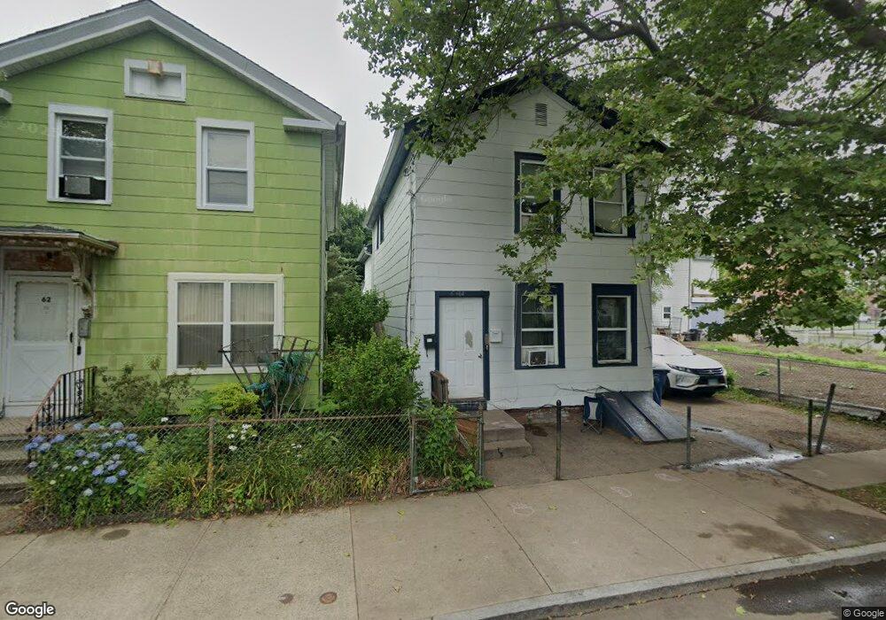
64 Liberty St New Haven, CT 06519
The Hill NeighborhoodEstimated Value: $175,000 - $290,000
4
Beds
3
Baths
1,731
Sq Ft
$138/Sq Ft
Est. Value
About This Home
This home is located at 64 Liberty St, New Haven, CT 06519 and is currently estimated at $239,675, approximately $138 per square foot. 64 Liberty St is a home located in New Haven County with nearby schools including John C. Daniels and St Martin De Porres Academy.
Ownership History
Date
Name
Owned For
Owner Type
Purchase Details
Closed on
Sep 6, 2022
Sold by
112 Llc
Bought by
Chairut Llc
Current Estimated Value
Purchase Details
Closed on
Aug 4, 2022
Sold by
Hampton Kennedy D
Bought by
112 Llc
Purchase Details
Closed on
Dec 5, 2003
Sold by
Haynes Norris M
Bought by
Hampton Kenned D
Home Financials for this Owner
Home Financials are based on the most recent Mortgage that was taken out on this home.
Original Mortgage
$62,910
Interest Rate
6.03%
Purchase Details
Closed on
Jun 15, 1988
Sold by
Gaudioso John
Bought by
Haynes Norris M
Home Financials for this Owner
Home Financials are based on the most recent Mortgage that was taken out on this home.
Original Mortgage
$61,000
Interest Rate
10.24%
Create a Home Valuation Report for This Property
The Home Valuation Report is an in-depth analysis detailing your home's value as well as a comparison with similar homes in the area
Home Values in the Area
Average Home Value in this Area
Purchase History
| Date | Buyer | Sale Price | Title Company |
|---|---|---|---|
| Chairut Llc | -- | None Available | |
| 112 Llc | $130,000 | None Available | |
| Hampton Kenned D | $69,900 | -- | |
| Haynes Norris M | $81,000 | -- |
Source: Public Records
Mortgage History
| Date | Status | Borrower | Loan Amount |
|---|---|---|---|
| Previous Owner | Haynes Norris M | $62,910 | |
| Previous Owner | Haynes Norris M | $61,000 |
Source: Public Records
Tax History Compared to Growth
Tax History
| Year | Tax Paid | Tax Assessment Tax Assessment Total Assessment is a certain percentage of the fair market value that is determined by local assessors to be the total taxable value of land and additions on the property. | Land | Improvement |
|---|---|---|---|---|
| 2025 | $3,809 | $96,670 | $20,510 | $76,160 |
| 2024 | $3,722 | $96,670 | $20,510 | $76,160 |
| 2023 | $3,596 | $96,670 | $20,510 | $76,160 |
| 2022 | $3,843 | $96,670 | $20,510 | $76,160 |
| 2021 | $2,436 | $55,510 | $17,640 | $37,870 |
| 2020 | $2,436 | $55,510 | $17,640 | $37,870 |
| 2019 | $2,386 | $55,510 | $17,640 | $37,870 |
| 2018 | $2,386 | $55,510 | $17,640 | $37,870 |
| 2017 | $2,147 | $55,510 | $17,640 | $37,870 |
| 2016 | $1,780 | $42,840 | $10,710 | $32,130 |
| 2015 | $1,780 | $42,840 | $10,710 | $32,130 |
| 2014 | $1,780 | $42,840 | $10,710 | $32,130 |
Source: Public Records
Map
Nearby Homes
- 46 Liberty St
- 33 Liberty St Unit M
- 25 Liberty St Unit E
- 533 Howard Ave
- 41 Cassius St
- 72 Daggett St
- 51 Arthur St
- 23 Dewitt St
- 26 Lamberton St
- 32 Lamberton St
- 45 Frank St
- 148 Rosette St
- 29 White St
- 46 Hurlburt St
- 82 1st St
- 148 Plymouth St
- 133 Plymouth St
- 91 Church St Unit 3
- 91 Church St Unit 2
- 91 Church St Unit 1
- 62 Liberty St
- 60 Liberty St
- 162 Portsea St
- 168 Portsea St
- 125 Carlisle St
- 172 Portsea St
- 63 Liberty St
- 174 Portsea St
- 59 Liberty St
- 61 Liberty St
- 180 Portsea St
- 146 Portsea St
- 135 Carlisle St
- 52 Liberty St
- 52 Liberty St Unit 3
- 120 Carlisle St
- 142 Portsea St
- 142 Portsea St Unit 1L
- 142 Portsea St Unit 2L
- 122 Carlisle St