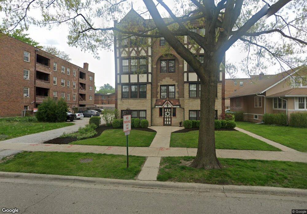
64 Pine Ave Unit 3E Riverside, IL 60546
Estimated Value: $139,000 - $160,628
Studio
--
Bath
9,045
Sq Ft
$17/Sq Ft
Est. Value
About This Home
This home is located at 64 Pine Ave Unit 3E, Riverside, IL 60546 and is currently estimated at $149,907, approximately $16 per square foot. 64 Pine Ave Unit 3E is a home located in Cook County with nearby schools including Central Elementary School, L J Hauser Jr High School, and Riverside Brookfield High School.
Ownership History
Date
Name
Owned For
Owner Type
Purchase Details
Closed on
Jan 23, 2014
Sold by
Benedetto Louis
Bought by
Pine Avenue Llc
Current Estimated Value
Purchase Details
Closed on
Apr 6, 2011
Sold by
Mohammed Saleem and Mohammed Saleema
Bought by
Benedetto Louis
Purchase Details
Closed on
May 19, 2010
Sold by
Mendoza Jeanette M and Deutsche Bank National Trust C
Bought by
Mohammed Saleem
Purchase Details
Closed on
Oct 16, 2006
Sold by
Pine Avenue Llc
Bought by
Mendoza Jeanette M
Home Financials for this Owner
Home Financials are based on the most recent Mortgage that was taken out on this home.
Original Mortgage
$206,320
Interest Rate
7.47%
Mortgage Type
Purchase Money Mortgage
Create a Home Valuation Report for This Property
The Home Valuation Report is an in-depth analysis detailing your home's value as well as a comparison with similar homes in the area
Home Values in the Area
Average Home Value in this Area
Purchase History
| Date | Buyer | Sale Price | Title Company |
|---|---|---|---|
| Pine Avenue Llc | -- | None Available | |
| Benedetto Louis | $64,000 | Git | |
| Mohammed Saleem | -- | None Available | |
| Mendoza Jeanette M | $258,000 | Cti |
Source: Public Records
Mortgage History
| Date | Status | Borrower | Loan Amount |
|---|---|---|---|
| Previous Owner | Mendoza Jeanette M | $206,320 |
Source: Public Records
Tax History
| Year | Tax Paid | Tax Assessment Tax Assessment Total Assessment is a certain percentage of the fair market value that is determined by local assessors to be the total taxable value of land and additions on the property. | Land | Improvement |
|---|---|---|---|---|
| 2025 | $3,851 | $12,038 | $936 | $11,102 |
| 2024 | $3,851 | $12,038 | $936 | $11,102 |
| 2023 | $3,526 | $12,038 | $936 | $11,102 |
| 2022 | $3,526 | $9,207 | $1,483 | $7,724 |
| 2021 | $3,388 | $9,206 | $1,483 | $7,723 |
| 2020 | $3,277 | $9,206 | $1,483 | $7,723 |
| 2019 | $2,487 | $7,067 | $1,004 | $6,063 |
| 2018 | $2,414 | $7,067 | $1,004 | $6,063 |
| 2017 | $2,592 | $7,840 | $730 | $7,110 |
| 2016 | $2,460 | $6,984 | $616 | $6,368 |
| 2015 | $650 | $1,889 | $616 | $1,273 |
| 2014 | $2,362 | $6,984 | $616 | $6,368 |
| 2013 | $1,189 | $3,811 | $616 | $3,195 |
Source: Public Records
Map
Nearby Homes
- 78 Pine Ave
- 10 E Burlington St Unit 2C
- 10 E Burlington St Unit 2B
- 124 Forest Ave
- 220 Maplewood Rd
- 108 E Burlington St Unit B
- 236 Maplewood Rd
- 193 Herrick Rd
- 231 Bartram Rd
- 176 Riverside Rd
- 207 W Quincy St Unit GARD
- 213 W Quincy St Unit 1
- 269 Shenstone Rd
- 8117 W 30th St
- 305 Desplaines Ave
- 315 Bartram Rd
- 336 Fairbank Rd
- 280 Blackhawk Rd
- 284 Blackhawk Rd
- 262 Lionel Rd
- 64 Pine Ave Unit 3W
- 64 Pine Ave Unit 2W
- 64 Pine Ave Unit 2E
- 64 Pine Ave Unit 1W
- 64 Pine Ave Unit 1E
- 62 Pine Ave Unit BW
- 62 Pine Ave Unit BE
- 62 Pine Ave Unit 3E
- 62 Pine Ave Unit 1E
- 62 Pine Ave Unit 3W
- 62 Pine Ave Unit 2W
- 68 Pine Ave
- 60 Pine Ave
- 72 Pine Ave Unit GDN
- 72 Pine Ave
- 72 Pine Ave Unit Garden
- 72 Pine Ave Unit Garden Unit
- 72 Pine Ave Unit 2B
- 72 Pine Ave Unit 3B
- 72 Pine Ave Unit 3C
Your Personal Tour Guide
Ask me questions while you tour the home.