64 Saint Malo Beach Oceanside, CA 92054
South Oceanside NeighborhoodEstimated Value: $2,726,000 - $4,966,000
4
Beds
5
Baths
3,763
Sq Ft
$958/Sq Ft
Est. Value
About This Home
This home is located at 64 Saint Malo Beach, Oceanside, CA 92054 and is currently estimated at $3,604,160, approximately $957 per square foot. 64 Saint Malo Beach is a home located in San Diego County with nearby schools including South Oceanside Elementary School, Lincoln Middle School, and Oceanside High School.
Ownership History
Date
Name
Owned For
Owner Type
Purchase Details
Closed on
Aug 30, 2016
Sold by
Reitnouer John F
Bought by
Reitnouer John F
Current Estimated Value
Purchase Details
Closed on
Nov 10, 2009
Sold by
Reitnouer Lynn Paul and Reitnouer Winslow C
Bought by
Reitnouer Lynn P and Reitnouer Winslow C
Purchase Details
Closed on
Jun 26, 2001
Sold by
Reitnouer Lynn P and Reitnouer Winslow C
Bought by
Reitnouer Lynn Paul and Reitnouer Winslow C
Create a Home Valuation Report for This Property
The Home Valuation Report is an in-depth analysis detailing your home's value as well as a comparison with similar homes in the area
Home Values in the Area
Average Home Value in this Area
Purchase History
| Date | Buyer | Sale Price | Title Company |
|---|---|---|---|
| Reitnouer John F | -- | None Available | |
| Reitnouer John F | -- | None Available | |
| Reitnouer Lynn P | -- | First American Title Ins Co | |
| Reitnouer Lynn Paul | -- | -- |
Source: Public Records
Tax History Compared to Growth
Tax History
| Year | Tax Paid | Tax Assessment Tax Assessment Total Assessment is a certain percentage of the fair market value that is determined by local assessors to be the total taxable value of land and additions on the property. | Land | Improvement |
|---|---|---|---|---|
| 2025 | $10,520 | $956,118 | $342,847 | $613,271 |
| 2024 | $10,520 | $937,372 | $336,125 | $601,247 |
| 2023 | $10,196 | $918,993 | $329,535 | $589,458 |
| 2022 | $10,041 | $900,974 | $323,074 | $577,900 |
| 2021 | $10,081 | $883,309 | $316,740 | $566,569 |
| 2020 | $9,768 | $874,253 | $313,493 | $560,760 |
| 2019 | $9,484 | $857,112 | $307,347 | $549,765 |
| 2018 | $9,384 | $840,307 | $301,321 | $538,986 |
| 2017 | $9,212 | $823,831 | $295,413 | $528,418 |
| 2016 | $8,913 | $807,678 | $289,621 | $518,057 |
| 2015 | $8,652 | $795,547 | $285,271 | $510,276 |
| 2014 | $8,316 | $779,964 | $279,683 | $500,281 |
Source: Public Records
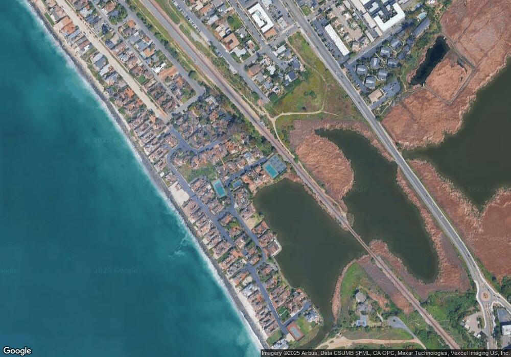
Map
Nearby Homes
- 79 St Malo Unit 79
- 2186 S Coast Hwy
- 2168 S Coast Hwy
- 1931 S Pacific St
- 270 Normandy LN Plan at Normandy Beach Homes - Normandy Beach homes
- 260 Normandy LN Plan at Normandy Beach Homes - Normandy Beach homes
- 1903 S Myers St Unit 4
- 1909 S Pacific St
- 1905 S Myers St Unit 1
- 2511 State St
- 2102 S Nevada St
- 1909 S Freeman St
- 1834-36 S Pacific St
- 543 Laguna Dr Unit 3
- 2633 Ocean St
- 2648 State St
- 1743 S Tremont St
- 2646 State St
- 2646 State St Unit D
- 2677 State St Unit 301
- 62 Saint Malo Beach
- 66 Saint Malo Beach
- 56 Saint Malo Beach
- 58 Saint Malo Beach
- 60 Saint Malo Beach
- 54 Saint Malo Beach
- 70 Saint Malo Beach
- 52 Saint Malo Beach
- 72 Saint Malo Beach
- 21 Saint Malo Beach
- 19 Saint Malo Beach
- 23 Saint Malo Beach
- 47 Saint Malo Beach
- 25 Saint Malo Beach
- 45 Saint Malo Beach
- 43 Saint Malo Beach
- 49 Saint Malo Beach
- 27 Saint Malo Beach
- 41 Saint Malo Beach
- 76 Saint Malo Beach