64 Solid Rock Rd Thompson Falls, MT 59873
Estimated Value: $725,000 - $850,000
2
Beds
2
Baths
1,680
Sq Ft
$476/Sq Ft
Est. Value
About This Home
This home is located at 64 Solid Rock Rd, Thompson Falls, MT 59873 and is currently estimated at $799,574, approximately $475 per square foot. 64 Solid Rock Rd is a home located in Sanders County with nearby schools including Noxon Elementary School, Noxon Junior High School, and Noxon High School.
Ownership History
Date
Name
Owned For
Owner Type
Purchase Details
Closed on
Dec 17, 2018
Sold by
Schroeder Darlinda
Bought by
Welch Edwin C
Current Estimated Value
Home Financials for this Owner
Home Financials are based on the most recent Mortgage that was taken out on this home.
Original Mortgage
$233,000
Outstanding Balance
$9,767
Interest Rate
4.9%
Mortgage Type
New Conventional
Estimated Equity
$789,807
Purchase Details
Closed on
Apr 8, 2011
Sold by
Fortner Gerald W and Fortner Bonnie J
Bought by
Schroeder Jerry L and Schroeder Darlinda
Create a Home Valuation Report for This Property
The Home Valuation Report is an in-depth analysis detailing your home's value as well as a comparison with similar homes in the area
Purchase History
| Date | Buyer | Sale Price | Title Company |
|---|---|---|---|
| Welch Edwin C | -- | -- | |
| Schroeder Jerry L | -- | None Available |
Source: Public Records
Mortgage History
| Date | Status | Borrower | Loan Amount |
|---|---|---|---|
| Open | Welch Edwin C | $233,000 |
Source: Public Records
Tax History
| Year | Tax Paid | Tax Assessment Tax Assessment Total Assessment is a certain percentage of the fair market value that is determined by local assessors to be the total taxable value of land and additions on the property. | Land | Improvement |
|---|---|---|---|---|
| 2025 | $3,394 | $697,900 | $0 | $0 |
| 2024 | $4,146 | $609,400 | $0 | $0 |
| 2023 | $3,883 | $609,400 | $0 | $0 |
| 2022 | $2,816 | $406,900 | $0 | $0 |
| 2021 | $2,459 | $406,900 | $0 | $0 |
| 2020 | $2,411 | $361,428 | $0 | $0 |
| 2019 | $1,357 | $347,608 | $0 | $0 |
| 2018 | $1,349 | $351,600 | $0 | $0 |
| 2017 | $2,028 | $351,600 | $0 | $0 |
| 2016 | $1,371 | $363,900 | $0 | $0 |
| 2015 | $985 | $363,900 | $0 | $0 |
| 2014 | $1,352 | $233,412 | $0 | $0 |
Source: Public Records
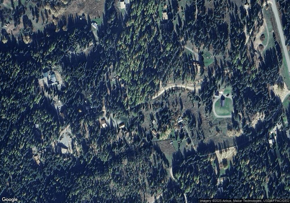
Map
Nearby Homes
- 96 E Fork Bull River Rd
- 97 National Forest Development Road 407
- 300 Old Bull River Rd
- 1127 Mt Highway 200
- 1234 Montana 200
- 710 Noxon Ave
- 608 Noxon Ave
- 151 Government Mountain Rd
- 116 Klakken Rd
- 49 Government Mountain Rd
- 115, 131 and 133 Klakken Rd
- 133 Klakken Rd
- Nhn Creek View Ln
- Tract 3 & 6 McKay Minor Rd
- Lot 1 McKay Minor Rd
- Lot 3 McKay Minor Rd
- Lot 2 McKay Minor Rd
- Lot 4 McKay Minor Rd
- 189 Blue Creek Rd
- 17276 Bull Lake Rd
- 64 Solid Rock Road Noxon Sanders Co
- 32 Solid Rock Rd
- 64 Solid Rock Rd
- 64 Solid Rock Rd
- 64 Solid Rock Rd Unit Noxon
- 60 Solid Rock Rd
- 78 Solid Rock Rd
- 496 Mt Highway 56
- 496 Mt Highway 56
- 11 Solid Rock Rd
- 11 Solid Rock Rd
- 549 Mt Highway 56
- 1 Solid Rock Rd
- 565 Mt Highway 56
- 6 Kyan Rd
- 580 Mt Highway 56
- 26 Kyan Rd
- 12 Pillick Ridge Ln
- 433 Mt Highway 56
- 433 Bull River Rd
Your Personal Tour Guide
Ask me questions while you tour the home.