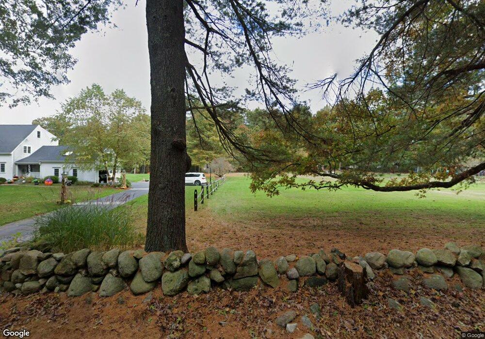
64 Williams St Wrentham, MA 02093
West Wrentham NeighborhoodEstimated Value: $295,000 - $614,676
Studio
--
Bath
--
Sq Ft
87,556
Sq Ft Lot
About This Home
This home is located at 64 Williams St, Wrentham, MA 02093 and is currently estimated at $514,919. 64 Williams St is a home located in Norfolk County with nearby schools including Delaney Elementary School, Charles E Roderick, and Mercymount Country Day School.
Ownership History
Date
Name
Owned For
Owner Type
Purchase Details
Closed on
Nov 23, 2016
Sold by
Grasfeder Richard J and Grasfeder Aliciaan R
Bought by
Richard J Grasfeder Re
Current Estimated Value
Purchase Details
Closed on
May 5, 2006
Sold by
Schwalbe Paul A
Bought by
Grasfeder Richard J and Grasfeder Aliciaann R
Home Financials for this Owner
Home Financials are based on the most recent Mortgage that was taken out on this home.
Original Mortgage
$263,200
Interest Rate
6.34%
Mortgage Type
Purchase Money Mortgage
Create a Home Valuation Report for This Property
The Home Valuation Report is an in-depth analysis detailing your home's value as well as a comparison with similar homes in the area
Home Values in the Area
Average Home Value in this Area
Purchase History
| Date | Buyer | Sale Price | Title Company |
|---|---|---|---|
| Richard J Grasfeder Re | -- | -- | |
| Grasfeder Richard J | $329,000 | -- |
Source: Public Records
Mortgage History
| Date | Status | Borrower | Loan Amount |
|---|---|---|---|
| Previous Owner | Grasfeder Richard J | $263,200 |
Source: Public Records
Tax History
| Year | Tax Paid | Tax Assessment Tax Assessment Total Assessment is a certain percentage of the fair market value that is determined by local assessors to be the total taxable value of land and additions on the property. | Land | Improvement |
|---|---|---|---|---|
| 2025 | $3,639 | $314,000 | $314,000 | $0 |
| 2024 | $3,768 | $314,000 | $314,000 | $0 |
| 2023 | $3,472 | $275,100 | $275,100 | $0 |
| 2022 | $3,847 | $281,400 | $281,400 | $0 |
| 2021 | $3,523 | $250,400 | $250,400 | $0 |
| 2020 | $2,725 | $191,200 | $191,200 | $0 |
| 2019 | $2,700 | $191,200 | $191,200 | $0 |
| 2018 | $2,720 | $191,000 | $191,000 | $0 |
| 2017 | $2,542 | $178,400 | $178,400 | $0 |
| 2016 | $2,473 | $173,200 | $173,200 | $0 |
| 2015 | $2,496 | $166,600 | $166,600 | $0 |
| 2014 | $2,453 | $160,200 | $160,200 | $0 |
Source: Public Records
Map
Nearby Homes
- 1620 West St
- 10 Follett Dr
- 1565 West St
- 9 Reagan Ave
- 60 Grant Ave
- 900 Washington St Lot 2
- 25 Nature View Dr
- 172 Pine Swamp Rd
- 180 Pine Swamp Rd
- 56 Pine Swamp Rd
- 365 W Wrentham Rd
- 925 Washington St
- 20 Nature View Dr
- 1 Spring St
- 955 Summer St
- 47 Austin Dr
- 11 Amber Dr
- 9 Pebble Cir Unit 9
- 9 Brookfield Ln
- 18 Bubbling Brook Rd
Your Personal Tour Guide
Ask me questions while you tour the home.