Estimated Value: $360,000 - $430,406
3
Beds
2
Baths
2,456
Sq Ft
$164/Sq Ft
Est. Value
About This Home
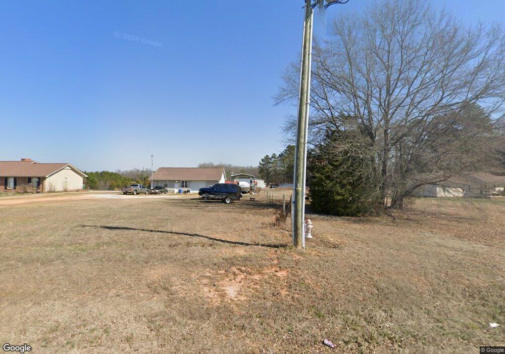
This home is located at 640 Gas Plant Rd, Moore, SC 29369 and is currently estimated at $402,852, approximately $164 per square foot. 640 Gas Plant Rd is a home located in Spartanburg County with nearby schools including River Ridge Elementary School, Florence Chapel Middle School, and Berry Shoals Intermediate School.
Ownership History
Date
Name
Owned For
Owner Type
Purchase Details
Closed on
Aug 31, 2005
Sold by
Cox James M and Cox Jodi I
Bought by
Osborne Donny L and Burrell Heather
Current Estimated Value
Home Financials for this Owner
Home Financials are based on the most recent Mortgage that was taken out on this home.
Original Mortgage
$169,900
Outstanding Balance
$89,881
Interest Rate
5.77%
Mortgage Type
New Conventional
Estimated Equity
$312,971
Purchase Details
Closed on
May 25, 2004
Sold by
Turner Phillip Edward
Bought by
Cox James M and Cox Jodi I
Create a Home Valuation Report for This Property
The Home Valuation Report is an in-depth analysis detailing your home's value as well as a comparison with similar homes in the area
Home Values in the Area
Average Home Value in this Area
Purchase History
| Date | Buyer | Sale Price | Title Company |
|---|---|---|---|
| Osborne Donny L | $169,900 | Capital Title Agency | |
| Cox James M | $17,000 | -- |
Source: Public Records
Mortgage History
| Date | Status | Borrower | Loan Amount |
|---|---|---|---|
| Open | Osborne Donny L | $169,900 |
Source: Public Records
Tax History Compared to Growth
Tax History
| Year | Tax Paid | Tax Assessment Tax Assessment Total Assessment is a certain percentage of the fair market value that is determined by local assessors to be the total taxable value of land and additions on the property. | Land | Improvement |
|---|---|---|---|---|
| 2025 | $1,505 | $10,385 | $1,268 | $9,117 |
| 2024 | $1,505 | $10,385 | $1,268 | $9,117 |
| 2023 | $1,505 | $10,385 | $1,268 | $9,117 |
| 2022 | $1,366 | $9,029 | $1,143 | $7,886 |
| 2021 | $1,366 | $9,029 | $1,143 | $7,886 |
| 2020 | $1,341 | $9,029 | $1,143 | $7,886 |
| 2019 | $1,341 | $9,029 | $1,143 | $7,886 |
| 2018 | $1,281 | $9,029 | $1,143 | $7,886 |
| 2017 | $1,105 | $7,852 | $960 | $6,892 |
| 2016 | $1,064 | $7,852 | $960 | $6,892 |
| 2015 | $1,027 | $7,852 | $960 | $6,892 |
| 2014 | $1,019 | $7,852 | $960 | $6,892 |
Source: Public Records
Map
Nearby Homes
- 203 Bethany Church Rd
- 718 Rodin Rd
- Drayton Plan at Iris Meadows
- Parker Plan at Iris Meadows
- Finley Plan at Iris Meadows
- Cameron Plan at Iris Meadows
- Cooper 3 Plan at Iris Meadows
- Augusta Plan at Iris Meadows
- Middleton Plan at Iris Meadows
- 746 Rodin Rd
- 739 Rodin Rd
- 750 Rodin Rd
- 743 Rodin Rd
- 754 Rodin Rd
- 905 Titian St
- 1125 Matisse Cir
- 1129 Matisse Cir
- 1137 Matisse Cir
- 111 Bethany Church Rd
- 670 Gas Plant Rd
- 651 Gas Plant Rd
- 641 Gas Plant Rd
- 600 Gas Plant Rd
- 150 Orchard Dr
- 631 Gas Plant Rd
- 680 Gas Plant Rd
- 703 Gas Plant Rd
- 2623 Moore Duncan Hwy
- 138 Orchard Dr
- 726 Rodin Rd
- 723 Rodin Rd
- 142 Orchard Dr
- 719 Rodin Rd
- 580 Gas Plant Rd
- 1007 Raphael Dr
- 130 Orchard Dr
- 591 Gas Plant Rd
- 529 Gas Plant Rd